
This week will begin mostly dry and warm with some isolated thunderstorms. An upper-level low will drop southeastward out of Canada and stall over our area later this week into this weekend, providing an extended period of unsettled weather and cooler conditions.
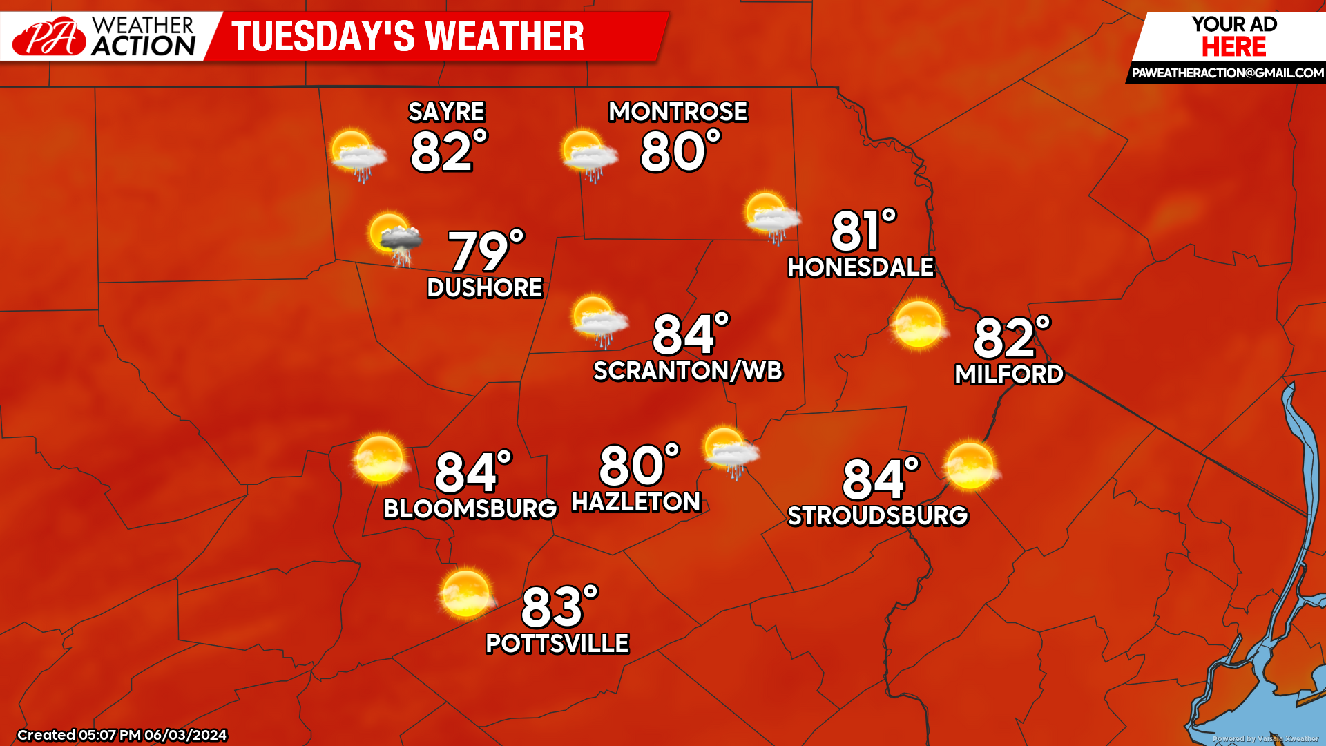
TUESDAY
Tuesday will feature above-normal temperatures and mostly sunny skies. A weak disturbance will approach the area. This could spark a few isolated thunderstorms during the afternoon, mainly over the western sections of our area.
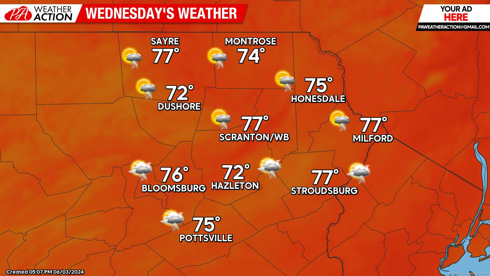
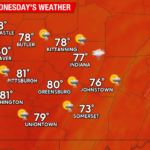
WEDNESDAY
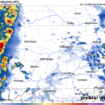
A stronger disturbance will approach our area, resulting in lower temperatures and increasing clouds. This will also bring an area of widespread showers and thunderstorms into our area late in the afternoon and Wednesday night.
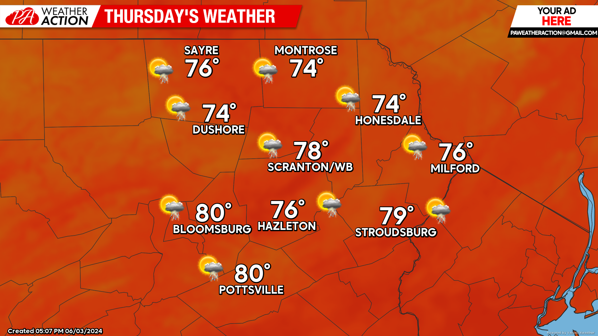
THURSDAY
Showers from the aforementioned disturbance will move out of the area by Thursday morning. As that exits, there could be some sunshine. However, there will be the opportunity for additional showers and thunderstorms to develop later in the day.
BEYOND THURSDAY (Friday-Sunday)
A large upper-level low will drop southeastward into the Great Lakes region on Thursday and stall for the end of this week into at least early next week. This will result in cooler weather along with daily opportunities for showers and thunderstorms. These storms will generally develop with the solar heating of the daytime, and decay overnight.
While that upper-level low could slowly crawl out of our area early next week, most indications are that another deep upper-level low will develop over the eastern United States or perhaps over the Great Lakes / Mississippi River. This should maintain the persistent unsettled weather through the end of next week. Enjoy!
NOAA Outlook For Sun-Thu June 9-13
You must be logged in to post a comment.