
Despite temperatures rising well into the 40s and 50s tomorrow, we are tracking the potential for some snow Wednesday morning associated with a front that will push through the region.
Out ahead of this front, temperatures will rise well into the 40s and 50s, but as the front pushes through the area, temperatures will drop rapidly into the upper 20s and low 30s across the state heading into Wednesday morning. That is when we do expect rain showers to change to accumulating snow likely after midnight Wednesday and lasting through mid-morning Wednesday across eastern Pennsylvania.
TIMING
This snowfall will not be significant by any means. In fact, most locations will receive less than three inches of snow. However, due to the timing of the snow, school delays and travel issues heading to work Wednesday will be a common theme, especially across southeast Pennsylvania. The snow will begin to fall around midnight Wednesday morning. Below is a look at the GFS valid for Wednesday 1:00 AM: 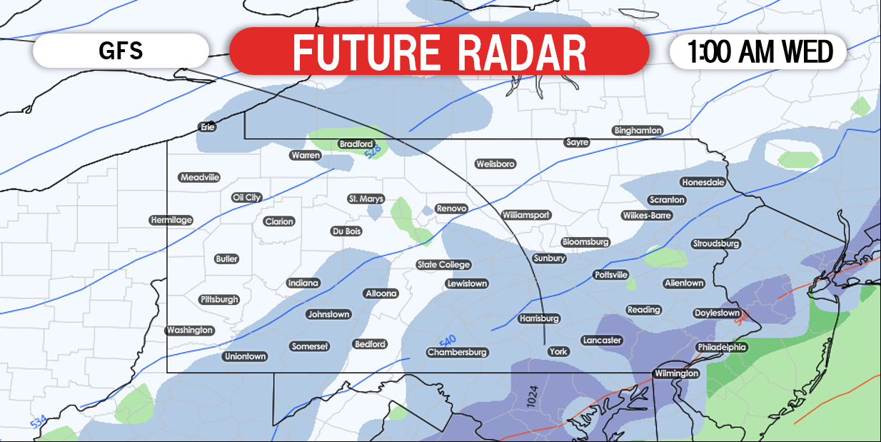
At first, any accumulations will remain on the grassy surfaces as most areas will have snow falling while temperatures are above 32 degrees at the onset. As we take the GFS model out to 4:00 AM Wednesday, the snow begins to pick up in intensity:
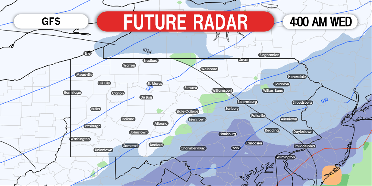 As the snow begins to pick up in intensity, it will begin to accumulate on paved surfaces as well. Main roads will likely remain wet, but we do expect some back roads to be snow covered heading towards daybreak Wedensday morning, especially in southeastern areas.
The heaviest of snow will fall between 4:00 AM and 7:00 AM across eastern areas Wednesday morning. Below is a look at 7:00 AM Wednesday morning: 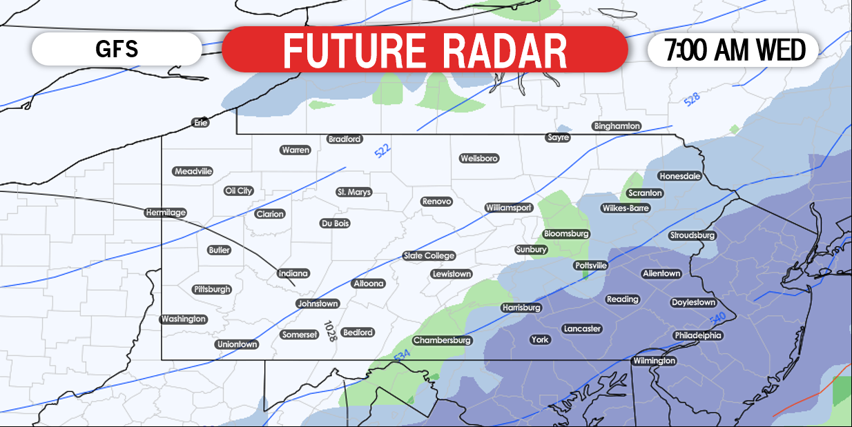
The snow will then quickly taper off after 9:00 AM Wednesday morning.
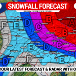
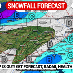
FIRST CALL SNOWFALL FORECAST FOR WEDNESDAY MORNING
 Area A: Snowfall accumulation of 2 – 3″ expected. Lighter amounts on untreated roads.
Area B: Snowfall accumulation of 1 – 2″ expected. Lighter amounts on untreated roads.
Area C: Snowfall accumulation of a coating to 1″ expected, mainly on unpaved surfaces.
Our new app update is out after months of development! Check it out and see what’s new by downloading it >>> Weather Action App Link
Don’t forget to share this forecast with those who may be interested using the button below. Stay tuned for our final call forecast Tuesday evening!
You must be logged in to post a comment.