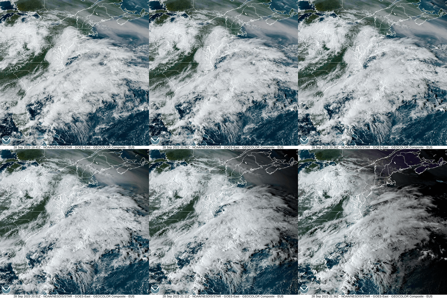
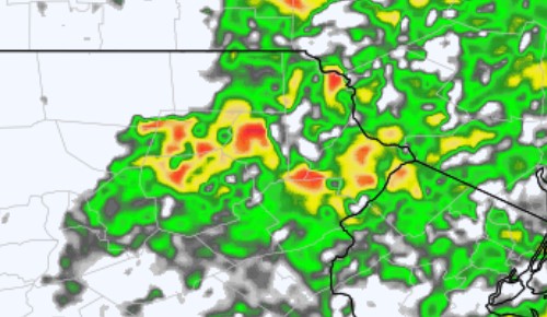
A potential flooding situation is unfolding for later tonight through Friday. An upper-level low approaching from the west will ingest tropical moisture – including the ghost of Ophelia (her low-level circulation is somewhat discernable off the North Carolina coast in the above visible-satellite loop). This interaction will spawn showers and thunderstorms tonight through tomorrow which will produce locally intense rainfall. Some areas could receive several inches of rain! As of right now, the National Weather Service has issued a flood watch for Pike County lasting into Saturday morning. However, areas further west are also at risk, as any period of prolong heavy rain on the already-saturated ground could produce localized flooding.
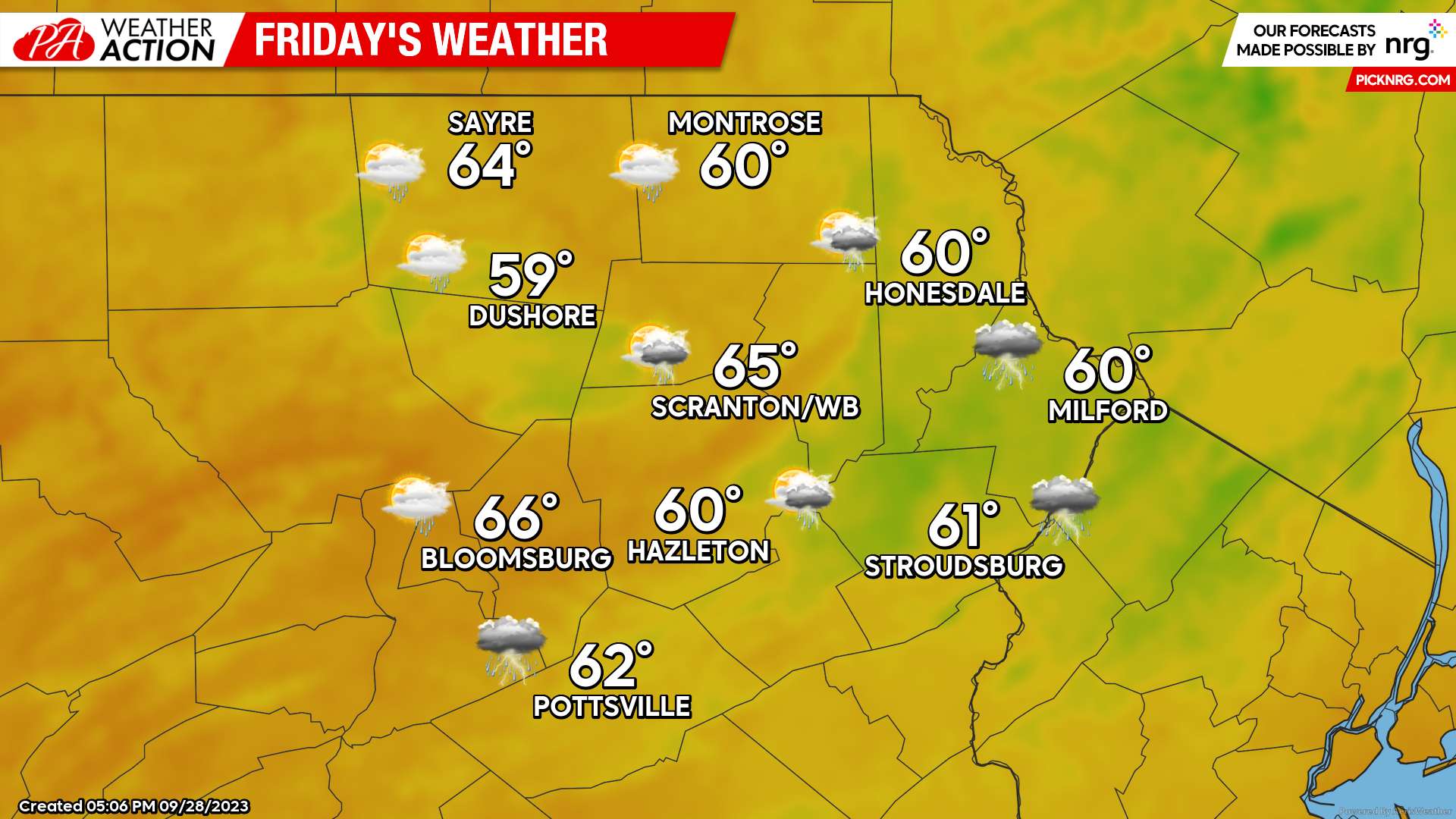
FRIDAY
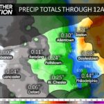
Showers and thunderstorms will impact much of the region, with some areas experiencing several inches of rain and potential flooding. The heaviest downpour should subside during the afternoon, with a lighter rain tomorrow night.
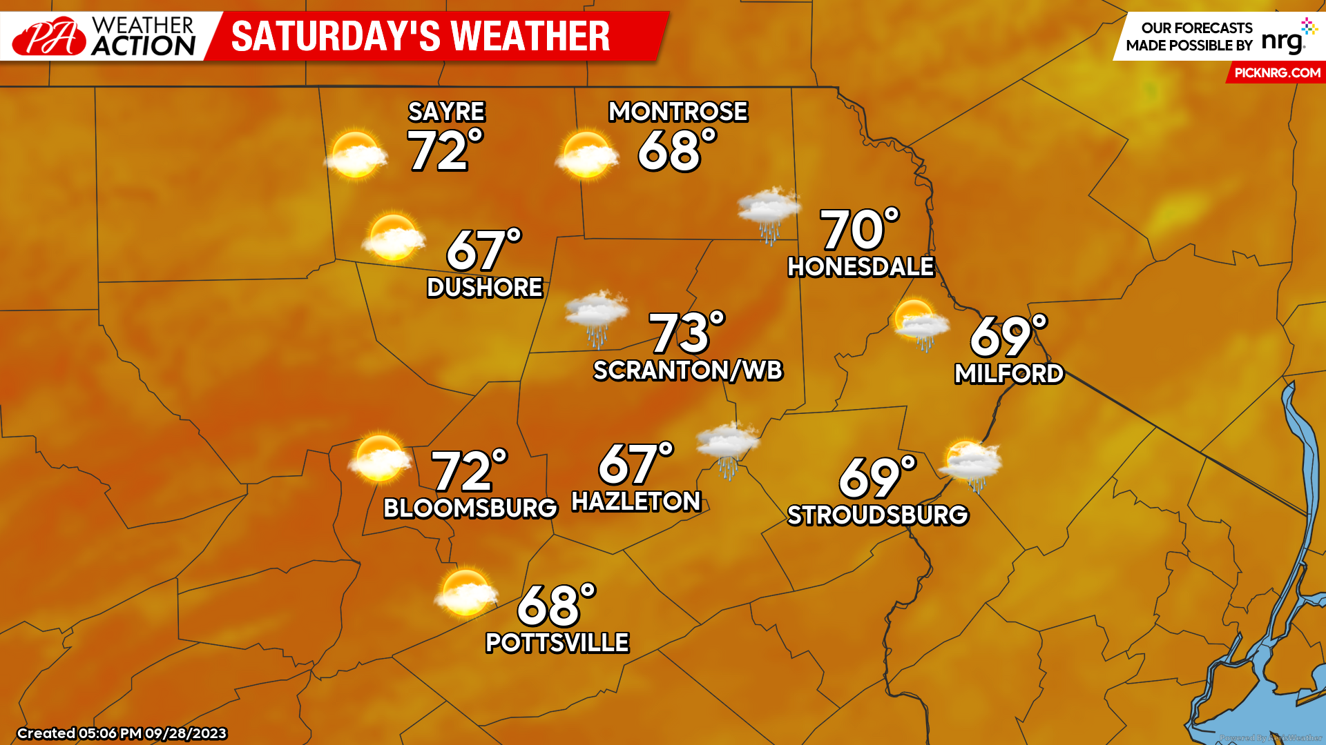
SATURDAY
As the ghost of Ophelia drifts away to our east, light rain and showers will linger possibly into the early afternoon.
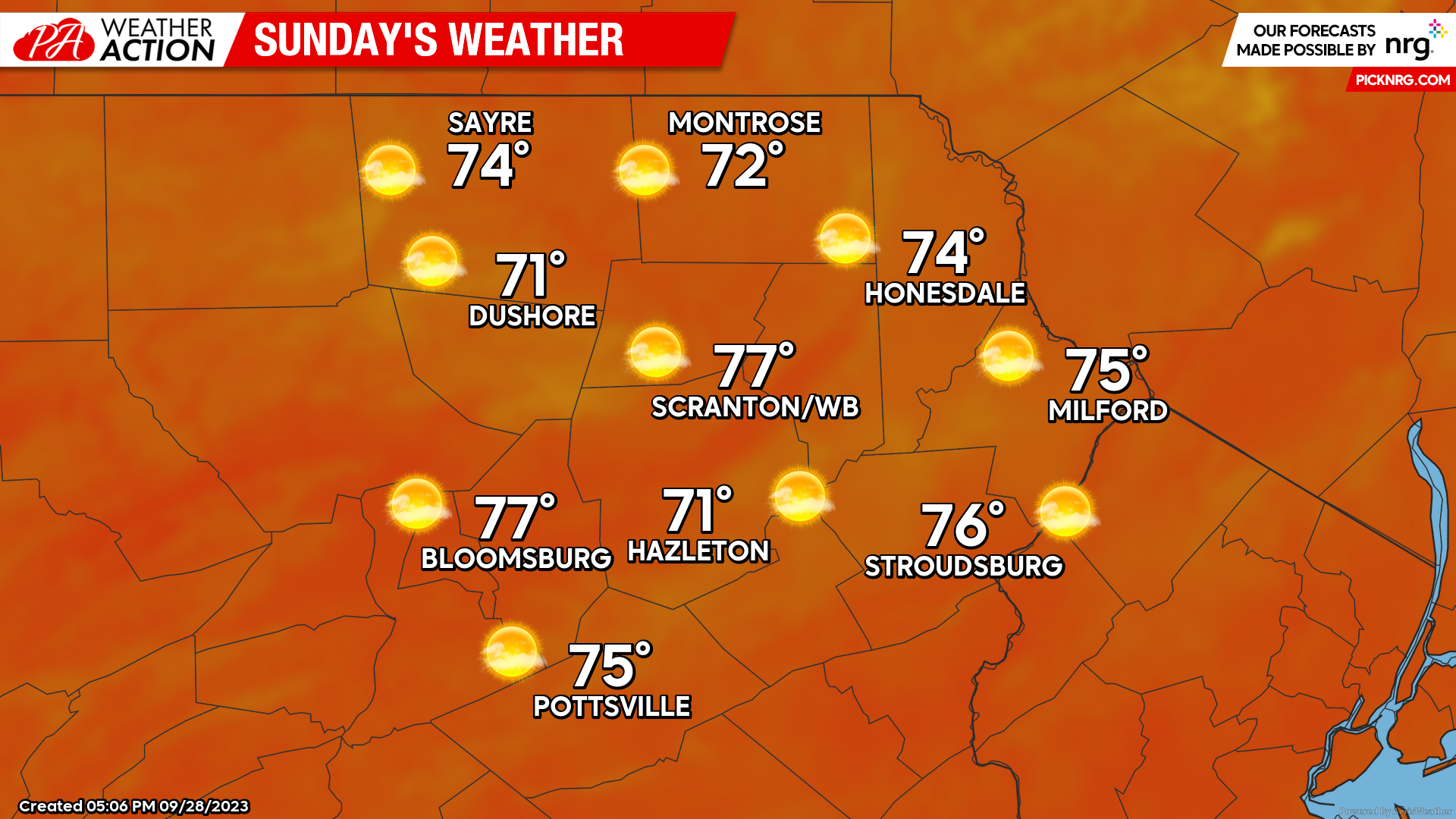
SUNDAY
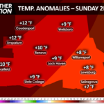
A surface high will move into our area to provide a much-needed day of sunshine and mild temperatures.

You must be logged in to post a comment.