
We are tracking a low pressure system that will be passing to our west today, leading to the potential of scattered showers throughout the daylight hours. As we head later into tonight, a cold front will be passing through the region leading to a period of heavy rain and strong winds.
This line will move from west to east, starting late tonight in Western PA and the mid-morning hours of Tuesday in Eastern PA. This same cold front will be responsible for cooler temperatures the 2nd half of the week.
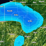
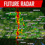
Below is our hour-by-hour Future Radar.
STORM PREDICTION CENTRAL THREAT MAP
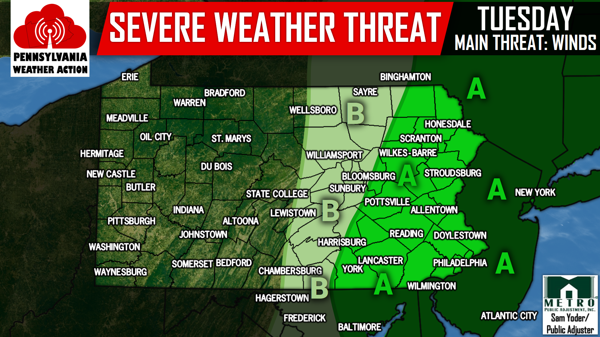
Area A – The Storm Prediction Center has placed these areas under a MARGINAL RISK for severe weather. Primary threat is for damaging winds and torrential rain.
Area B – Thunderstorms are possible in this area, but should remain under severe criteria.
Be sure to have us liked on Facebook to receive all the latest updates, click here>>>Pennsylvania Weather Action’s Facebook Page
Don’t forget to share the stormy news with your family and friends by using our icon below, stay safe!
You must be logged in to post a comment.