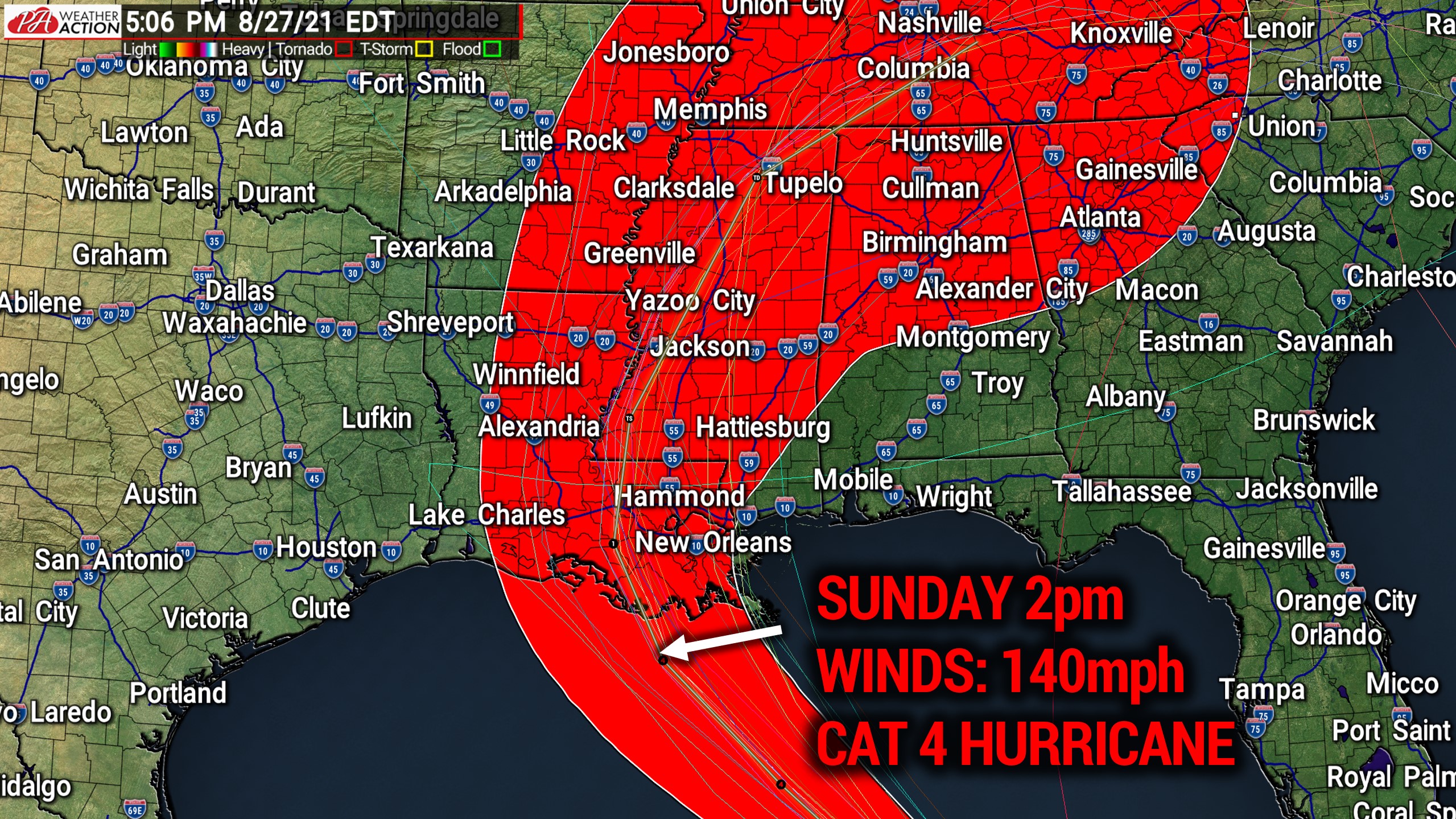
A Category 4 Major Hurricane Ida is expected to make landfall Sunday afternoon in Southern Louisiana, where mandatory evacuations are ongoing. Winds at landfall are modeled to be around 140mph, with higher gusts possible. Conditions in the central Gulf of Mexico will be very favorable for rapid intensification. Here is the latest forecast from the National Hurricane Center as of 5:00 PM Friday.

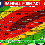
We are not yet sure what impacts Ida may bring to Pennsylvania. But due to recent well above average rainfall in our area and Ida’s slow-moving nature, the threat for significant flooding may arise if Ida moves over our area, which is very possible.
Stay tuned for the latest forecast on Hurricane Ida in the coming days, we will have updates on what the storm may bring to Pennsylvania.