
Today
Temperatures today will near 90 degrees in much of Southern Pennsylvania, with 80s all around. Sunny skies continuing for yet another day.
Friday
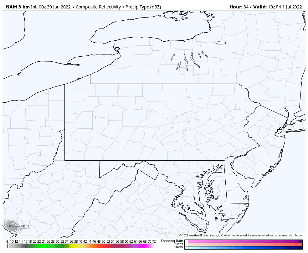
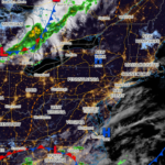
Isolated thunderstorms may develop Friday afternoon in northern and western areas, but there’s just a Marginal Risk of severe thunderstorms. Elsewhere, no rain is expected and temperatures will be well into the 90s south of I-80. Below is future radar for tomorrow.
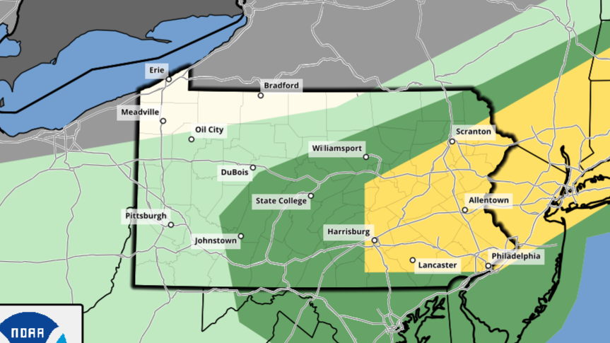
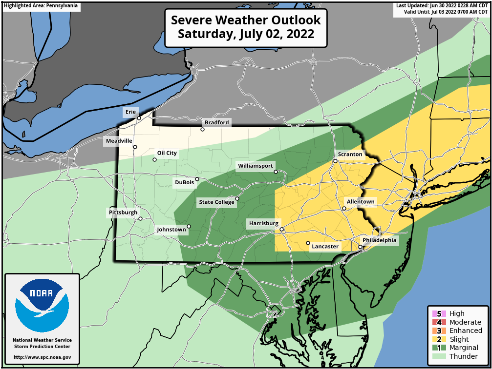
Saturday
The focus for thunderstorms shifts east on Saturday into the eastern half of Pennsylvania, where a Slight Risk is up for mostly the damaging wind potential. Even still, 80% of the day will be dry in most areas. Below is the SPC map.
Sunday
Partly to mostly sunny skies return for Sunday with temperatures in the 80s.
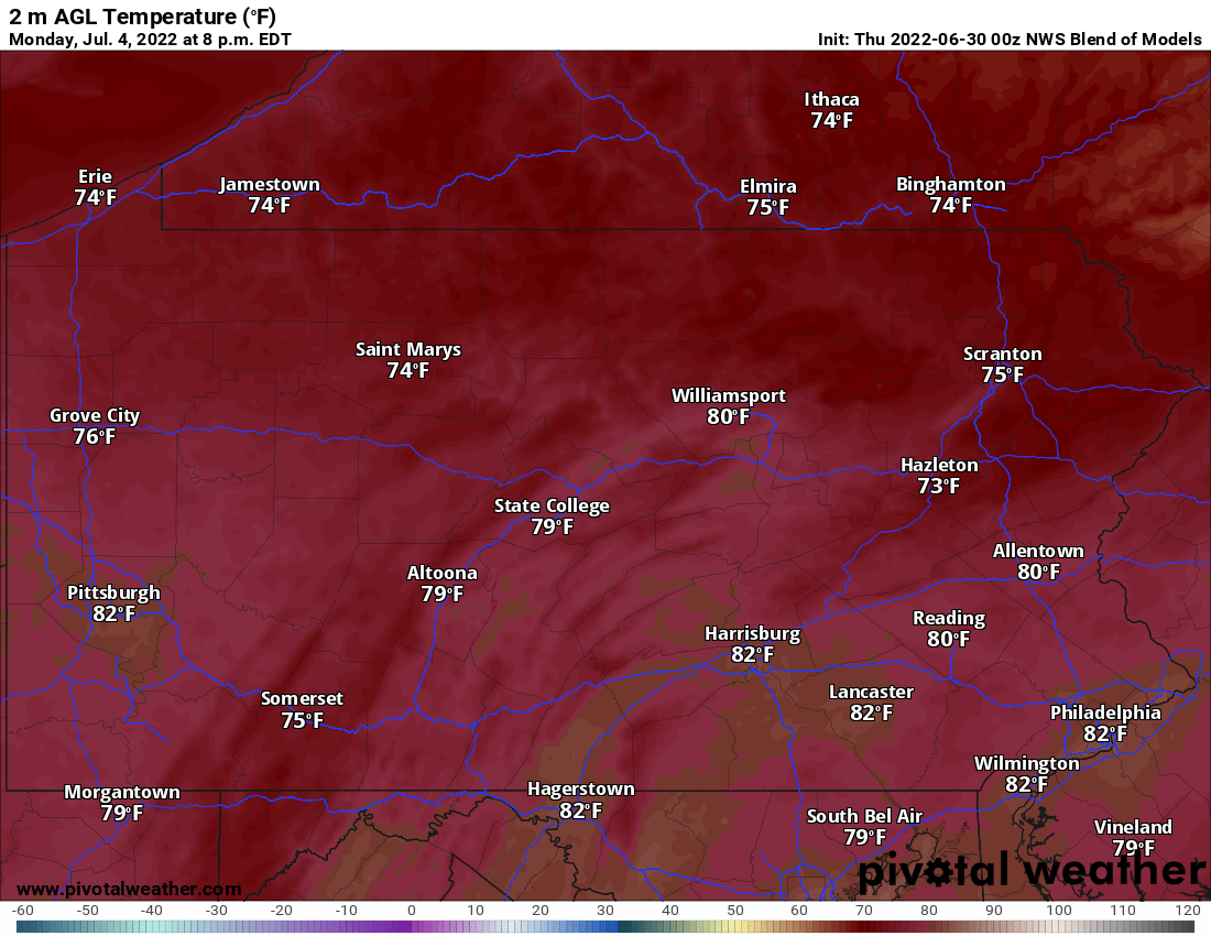
Monday
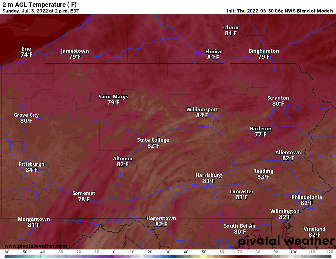
The 4th will start sunny, followed by partly cloudy skies. We’re not expecting any rain, but it’ll likely be mostly cloudy around sunset. Here are temperatures around 8pm Monday.
Tuesday
Showers and thunderstorms are possible with temperatures in the 80s to low 90s near Philadelphia. Strong storms possible.
Wednesday
Mostly cloudy skies with a few thunderstorms possible in Southern Pennsylvania. Highs in the 80s.

You must be logged in to post a comment.