We are officially less than 48 hours from the first significant winter storm of the season for much of southern Pennsylvania. But before the storm, we will continue to deal with lake effect snow, especially across northwest Pennsylvania today. Below is a look at the latest radar:
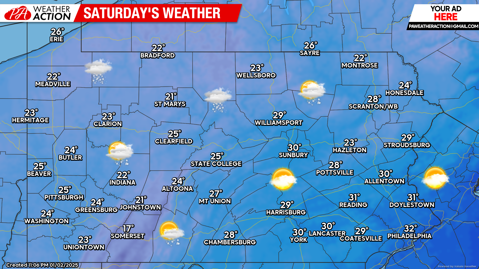
Today’s Weather Forecast: 7/10
Today will be cold with lake effect snow continuing across northwest Pennsylvania. Elsewhere, partly cloudy skies with windy conditions can be expected. Temperatures will only reach the 20s for most of us across the state.
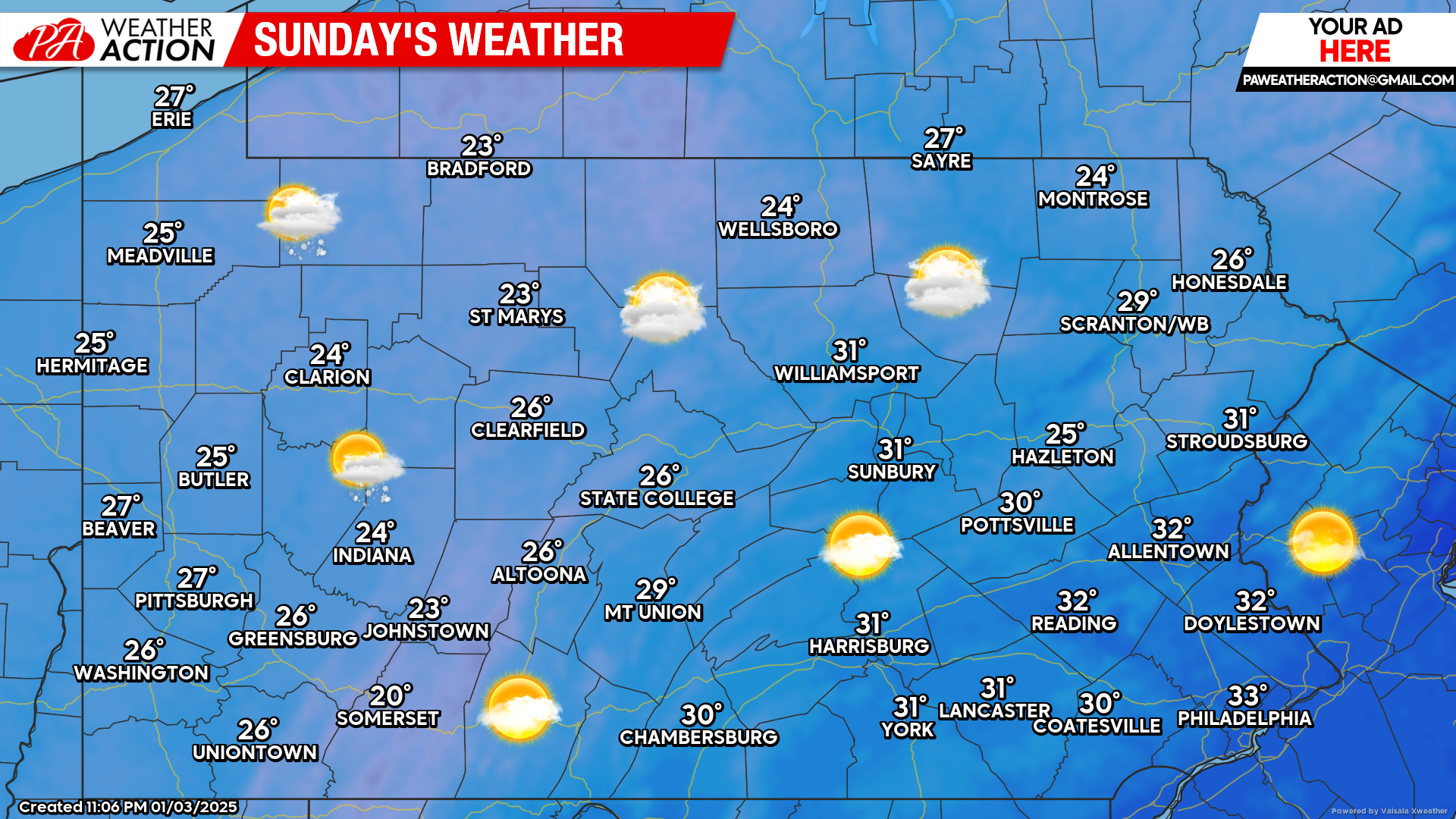
Sunday’s Weather Forecast: 7/10
Sunday will also be cold with temperatures generally in the 20s to low 30s. Clouds will be on the increase heading into Sunday evening ahead of our next winter storm.
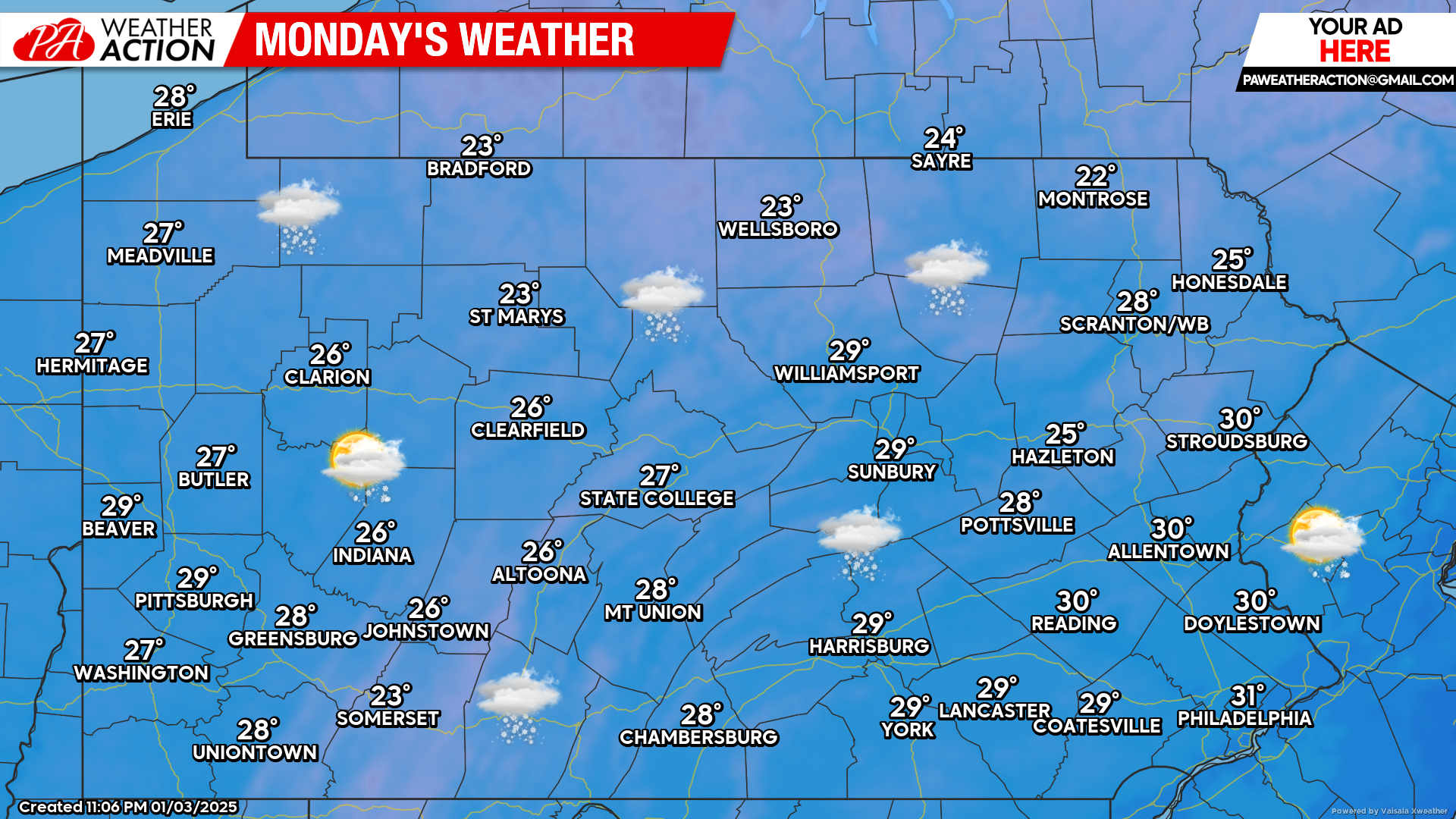
Monday’s Weather Forecast: 1/10
The next winter storm of the season will deliver steady and even heavy snowfall across much of the southern half of Pennsylvania Monday. There will be a relatively sharp cutoff somewhere between the PA Turnpike and Interstate 80 with who sees little to no snow versus a plowable amount. These details will be ironed out over the next 24 hours.
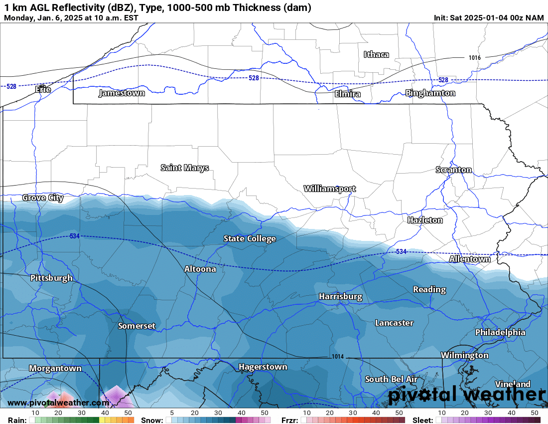
NAM Future Radar Valid for 10:00 AM Monday:
The first significant widespread winter storm of the season will be impacting the southern half of Pennsylvania Monday. There is currently great discrepancies between model guidance even as of early Saturday morning. The general idea is that the heaviest of snows will fall closer to the PA/MD state line. Just how far north the heaviest snow goes, remains a big question.
Currently we expect the moderate to heavy snows to reach the PA turnpike. Between the Turnpike and Interstate 80, we expect the accumulations to quickly drop off. If you missed our first call from yesterday, please click here:
First Call Snowfall Forecast for Monday’s Winter Storm in Pennsylvania


You must be logged in to post a comment.