
Low pressure moving into the region will bring windy conditions and chances for snow through mid-week. Warmer temperatures are expected towards the end of the week.
Tuesday
A strong low pressure system will move into the region Monday night into Tuesday bringing windy conditions and chances for snow. Highs will be in the mid to low 30s, lows will be in the low 30s to mid 20s. Winds will be out of the west at 10-17 mph for most of the region, the higher elevations can expect wind speeds at 20-25 mph. Wind gusts will range from 30-45 mph.

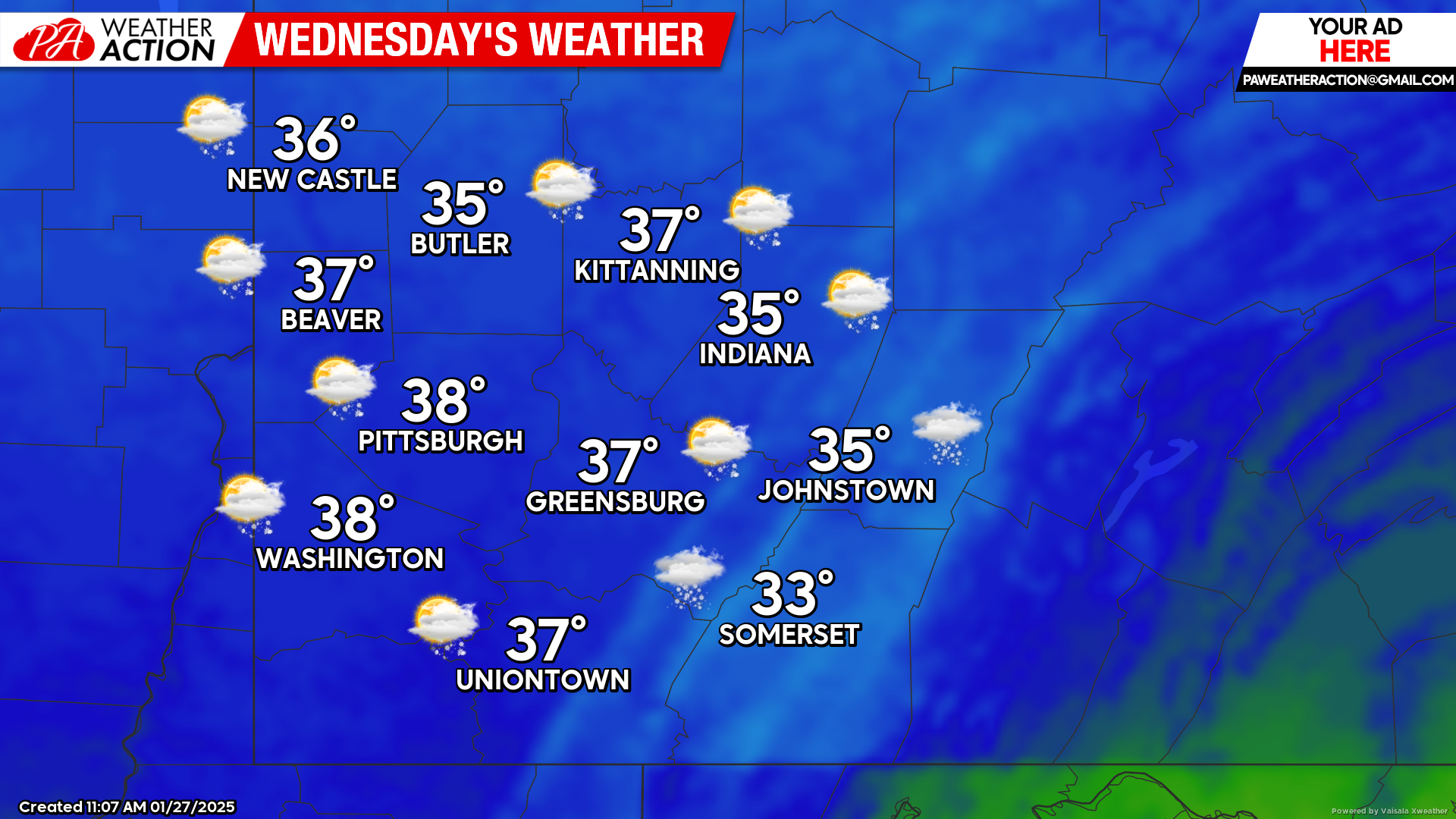
Wednesday
Chances for snow and rain showers are possible throughout the day, breezy conditions will continue. Highs will range in the 30s, lows will be in the mid-teens. Winds will be out of the west at 15-23 mph, with wind gusts ranging from 20-40 mph.
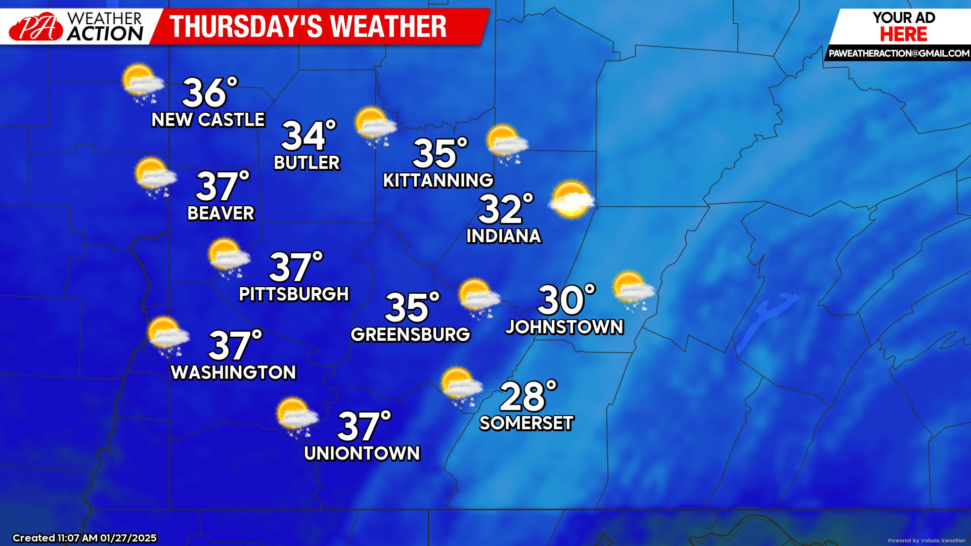
Thursday
Mostly sunny conditions. Highs will range in the 30s, lows will be in the low 30s to upper 20s. Winds will be out of the south at 5-10 mph, wind gusts approaching 20 mph are possible in the later hours of the day.
Warmer conditions with chances for rain and snow showers are possible as we approach the weekend. Be sure to follow PA Weather Action for more forecasts and detailed statewide forecasts on precipitation totals.
You must be logged in to post a comment.