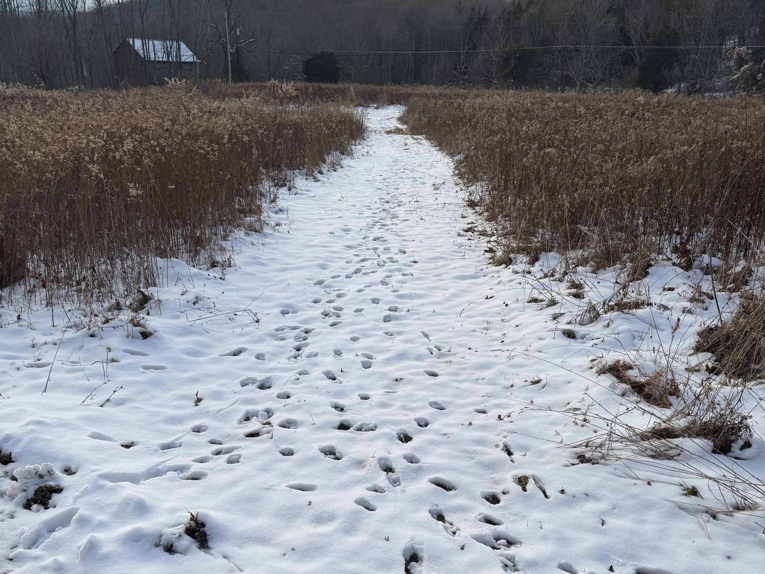
A clipper passing through our area is currently depositing around an inch of snow across the region. Snow will end this evening, with clearing conditions overnight.
FRIDAY
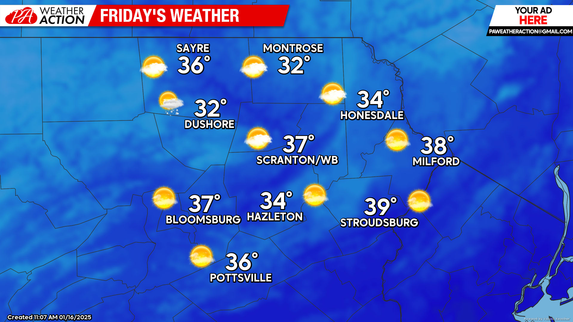
As the clipper departs it will draw milder air into the region. Friday will feature sunshine and above-normal temperatures. If you have outdoor activities to accomplish, Friday will be the nicest day for quite some time, as the arctic is about to assault our area next week…
SATURDAY
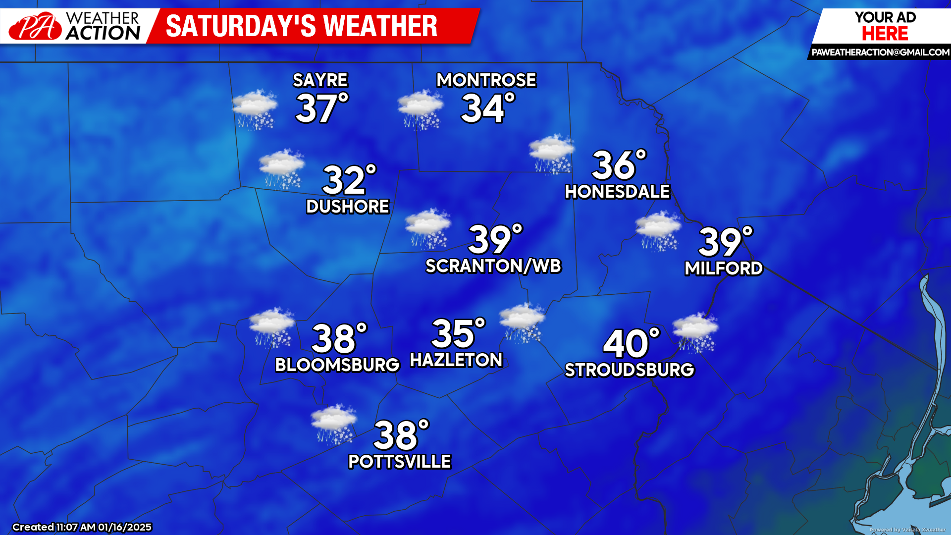
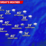
Saturday will start quite mild for this time of year, with widespread 20s for the morning low temperature. A storm system tracking to our north in Canada will pull a warm front northward through our area, bringing clouds and periods of light snow and light rain. There could be light accumulations across the higher terrain but temperatures are expected to get above freezing across most of the region.
SUNDAY
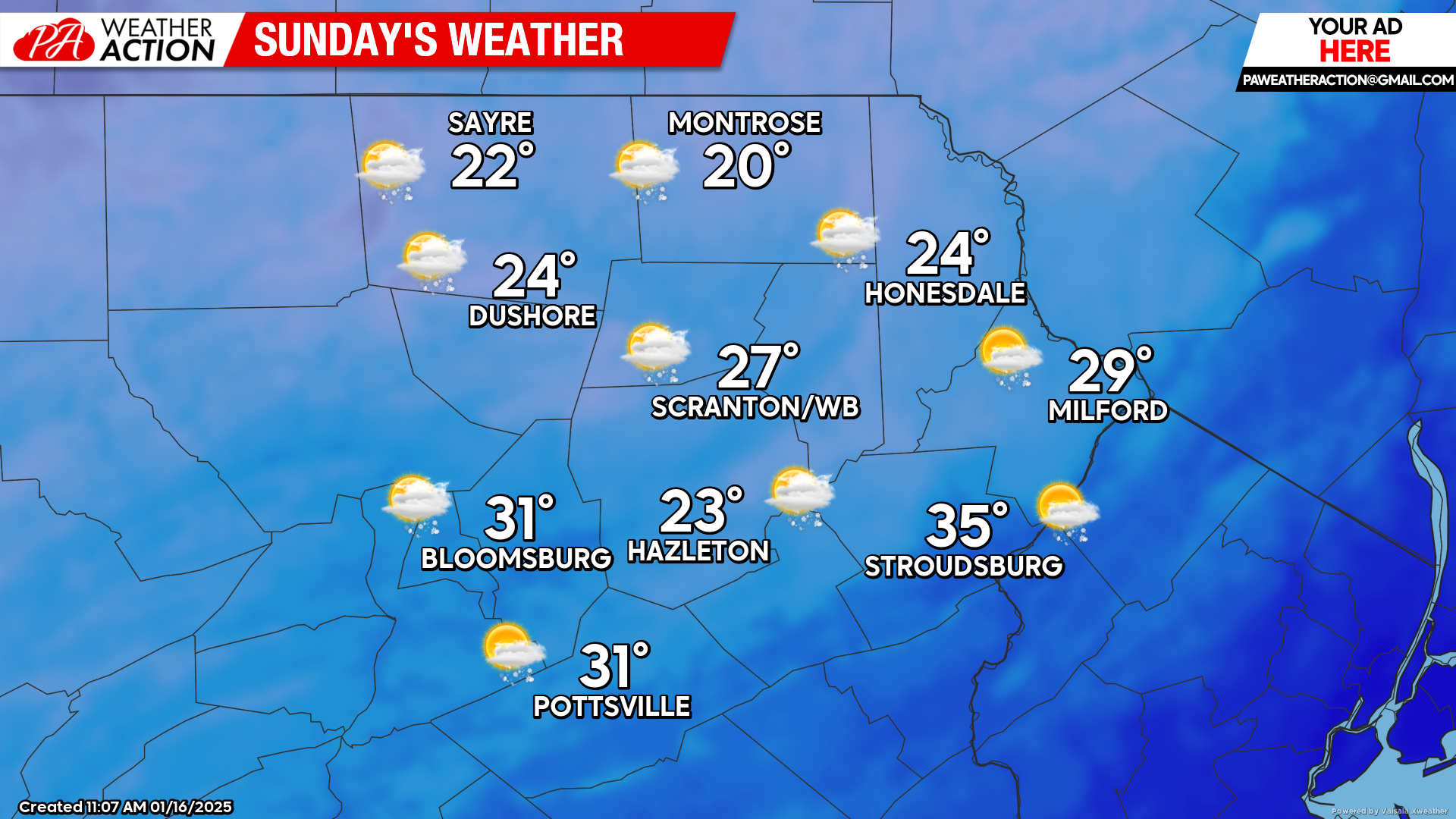
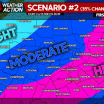
A strong cold front will cross our area Sunday, holding temperatures in the 20s all day for most of the region. The huge challenge for Sunday’s weather is that a surface low will form along the frontal zone over Virginia late in the day and move northeastward along the front. This could spread 2-5″ snow into southeastern PA and NJ late Sunday and Sunday night. It remains uncertain if the surface low will track far-enough west to provide our southeastern counties with plowable snow, but it cannot be ruled out. A light coating is possible across the rest of our area. Regardless, Sunday’s cold front will herald a brutal arctic assault that will deliver some of the coldest weather thus far this season for next week.

You must be logged in to post a comment.