
An area of low pressure is exiting to our northeast tonight, nudging a weak cold front southward through our area. Meanwhile, an upper-level trough digging through the Great Lakes will approach our area and interact with another surface low approaching form the southwest to provide another round of unsettled weather this weekend.
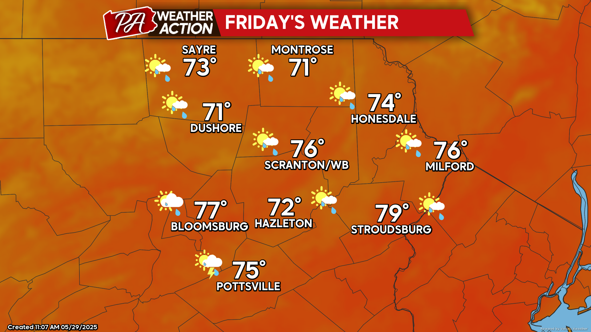
FRIDAY
An upper-level trough will approach from the Great Lakes region, as a surface low approaches from the southwest. Their interaction will provide variable clouds with scattered showers and possible thunderstorms late in the day and Friday night. Most of the daytime will be rain-free.
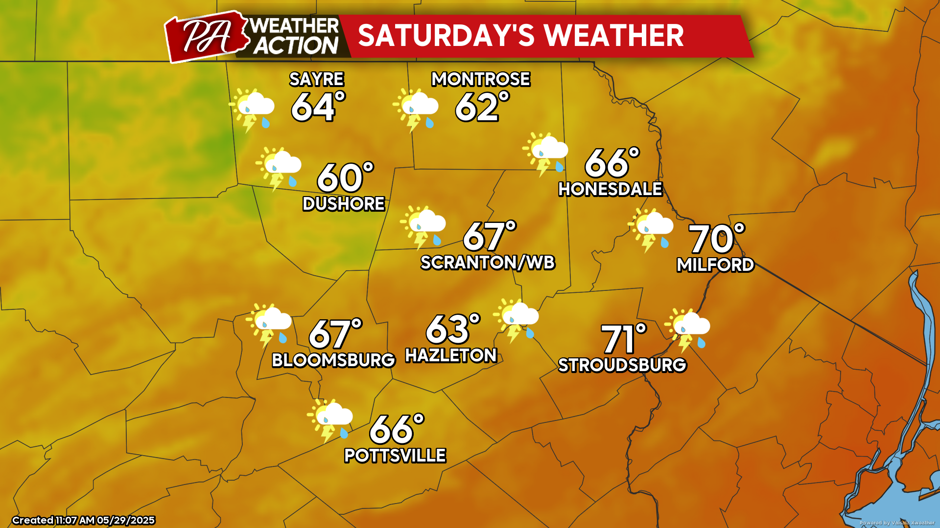
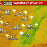
SATURDAY
The surface low will exit northeastward along the New England coast as the upper-level trough pivots over our area. This will bring another day of variable clouds and showers and thunderstorms, along with breezy wind out of the northwest delivering cooler temperatures.
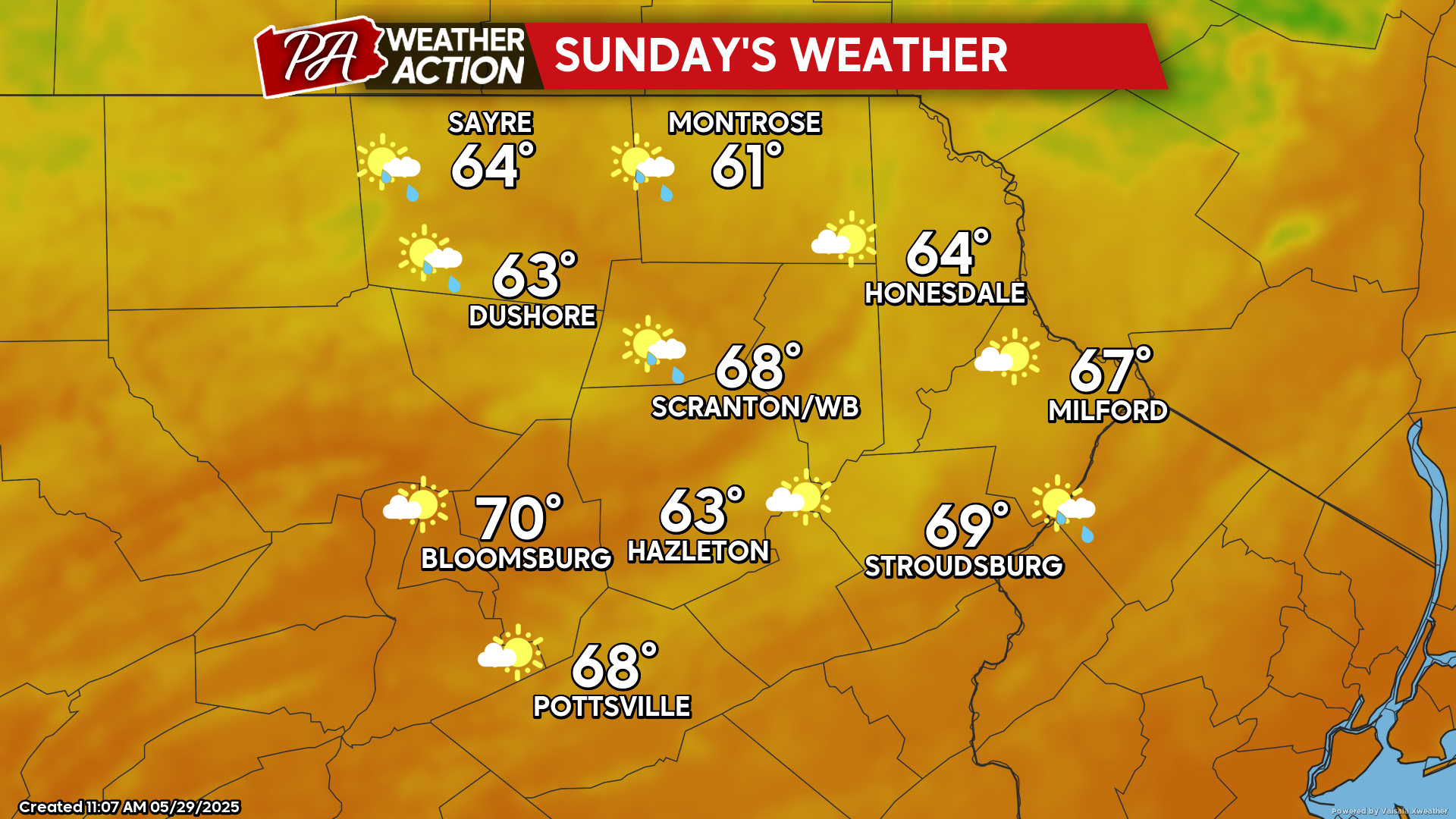
SUNDAY
Sunday will feature gusty wind from the west, along with cooler conditions. While there still could be isolated showers, don’t fret as it will be a mostly dry day with areas of sunshine.
You must be logged in to post a comment.