Mother Nature will be bringing a one-two punch this weekend. The first storm will bring rain and snow showers to the area tomorrow, while the second storm will bring potentially moderate to heavy snow to the area Sunday. Below is a look at the latest radar:
Today’s Weather Forecast: 9/10
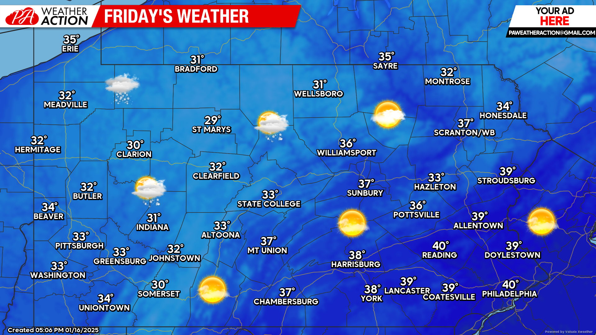
Other than a few lingering early morning lake effect snow showers, today will be dry with temperatures sitting comfortably in the 30s and lower 40s.
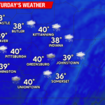
Saturday’s Weather Forecast: 2/10
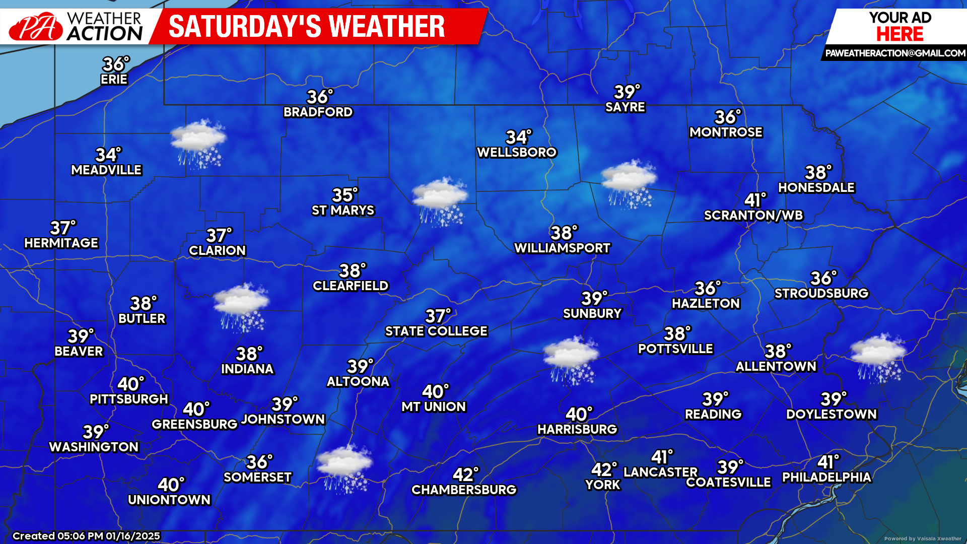
The first storm system will deliver rain and snow showers to the state during the day Saturday. Any snow accumulations that occur will be on the light side and mainly favor the higher elevations in western Pennsylvania.
Sunday’s Weather Forecast: 2/10
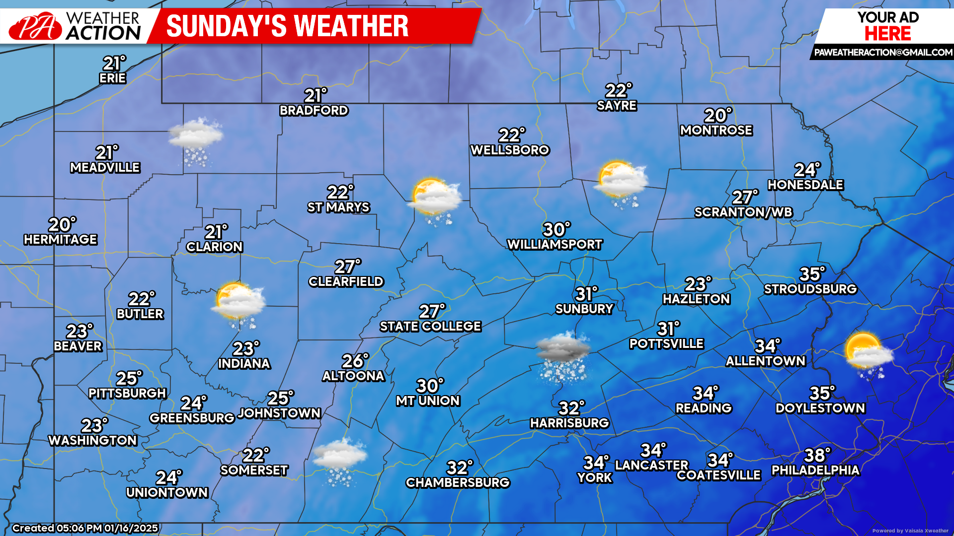
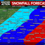
The second storm system this weekend will bring the potential for significant snowfall to the area for parts of the state. As of right now, eastern Pennsylvania is favored to receive the heaviest snowfall amounts.
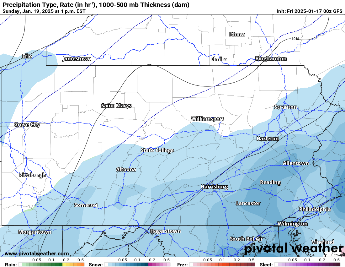
GFS Future Radar Valid for Sunday 1:00 PM:
Model guidance is currently still having a tough time nailing down an exact storm track for this storm. Currently the GFS model is the most “in the middle” solution.
As of right now, eastern Pennsylvania has the best to chance to receive significant snowfall from this storm. The snow will likely start between the mid and late morning hours Sunday and will continue through the afternoon and evening hours.
We will have our first call snowfall forecast for Sunday posted later today. If you missed our forecast illustrating different scenarios for Sunday’s storm, please click here:
Scenarios for Significant Snowstorm Possible Sunday in Pennsylvania


You must be logged in to post a comment.