A storm system approaching from the southwest will be delivering widespread rain today across the state. Below is a look at the current radar:
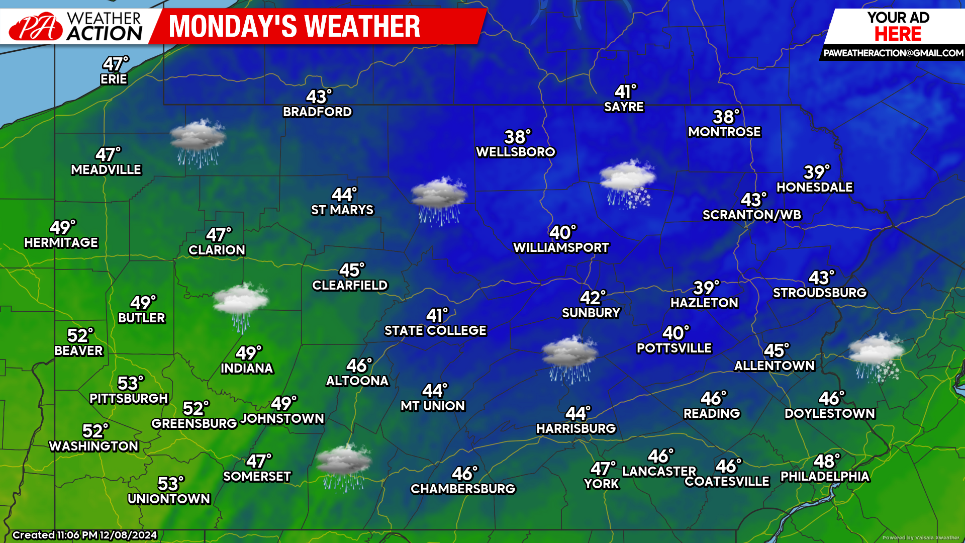
Today’s Weather Forecast: 2/10
Widespread rain will impact the state today. Most of the rain will be out of the area by the early afternoon hours. Temperatures will range generally in the 40s and lower 50s.
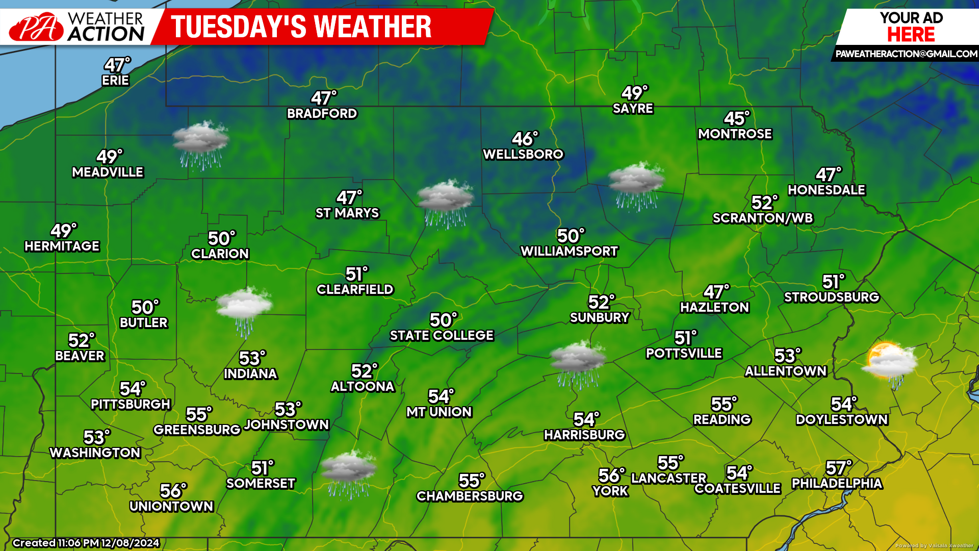
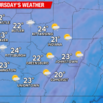
Tuesday’s Weather Forecast: 8/10
Do not let the graphic below fool you. Most of Tuesday will remain dry with temperatures in the 50s. Ahead of our next system, rain showers will begin to develop late Tuesday night.
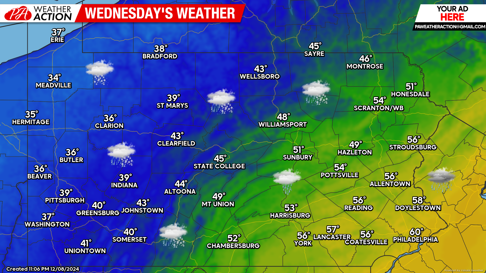
Wednesday’s Weather Forecast: 1/10
Our next storm system will be impacting the state with heavy rain and snow Wednesday. As of now, it appears that western Pennsylvania has the best chance of seeing accumulating snow.
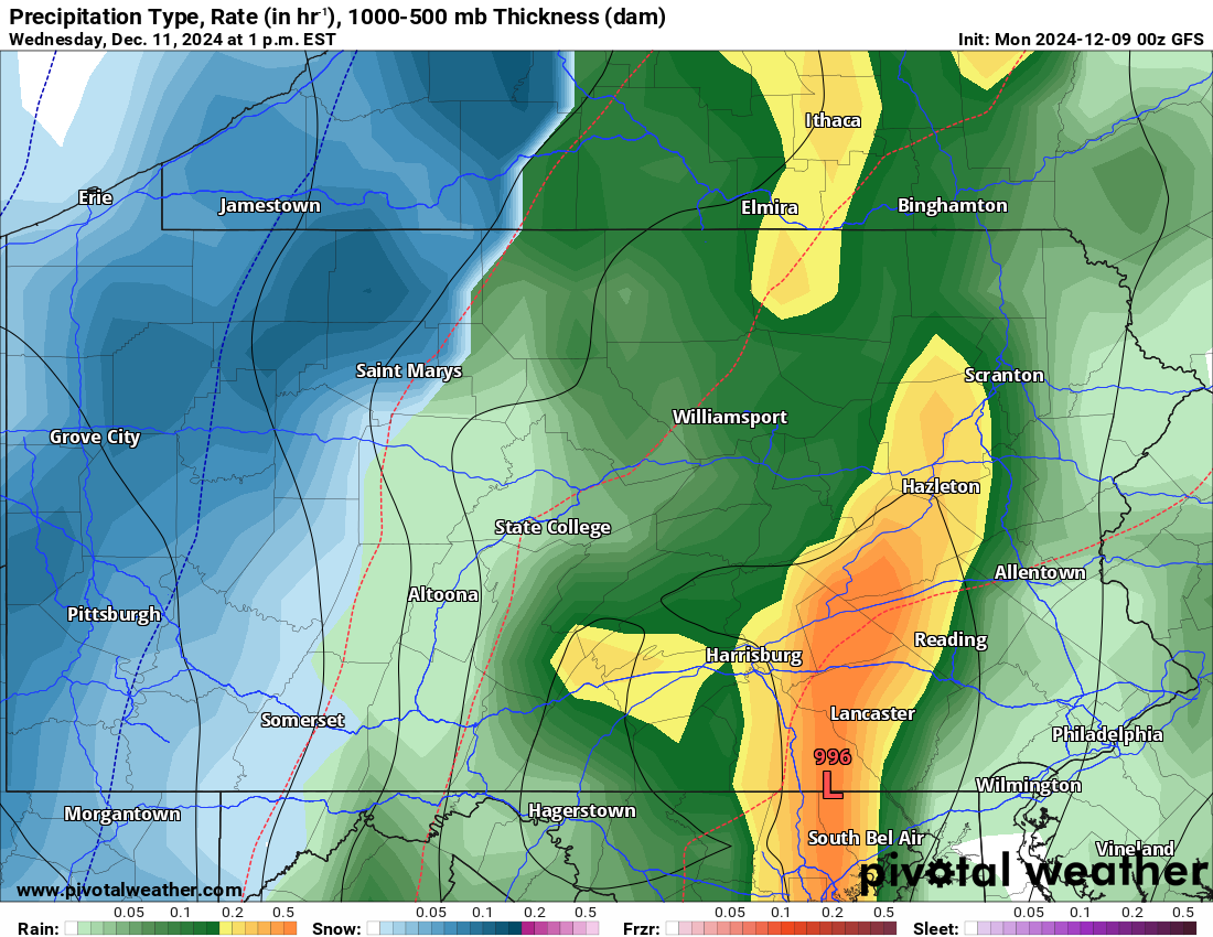
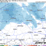
GFS Future Radar Valid for 1:00 PM Wednesday:
Wednesday’s storm system favors the western third of Pennsylvania for accumulating snow. Higher elevations in central Pennsylvania could see rain change to snow as the system begins to move out of the state. Eastern Pennsylvania will likely remain all rain for this storm.
If needed, our first call snowfall map for Wednesday will be posted later this afternoon. Stay tuned!

You must be logged in to post a comment.