We are tracking the potential for record breaking cold weather for Pennsylvania next week. While the core of the cold air will impact the region next week, tomorrow and Saturday will be well below average for this time of year too, just not record breaking. Below is look at projected high temperatures for tomorrow using the Hi-Res NAM model: 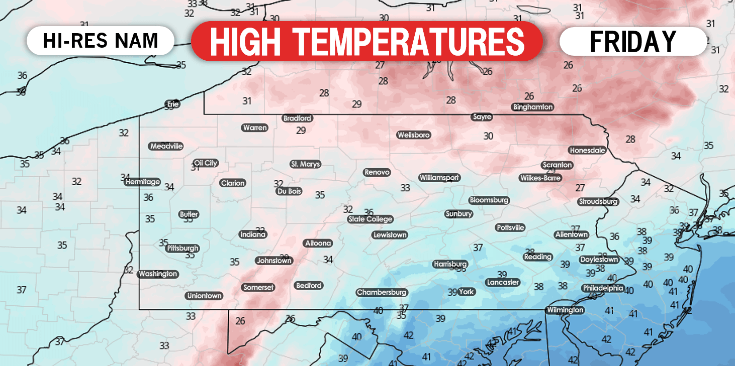
High temperatures will range anywhere from the 30s to the low 40s across the state. A similar forecast is expected on Saturday as well: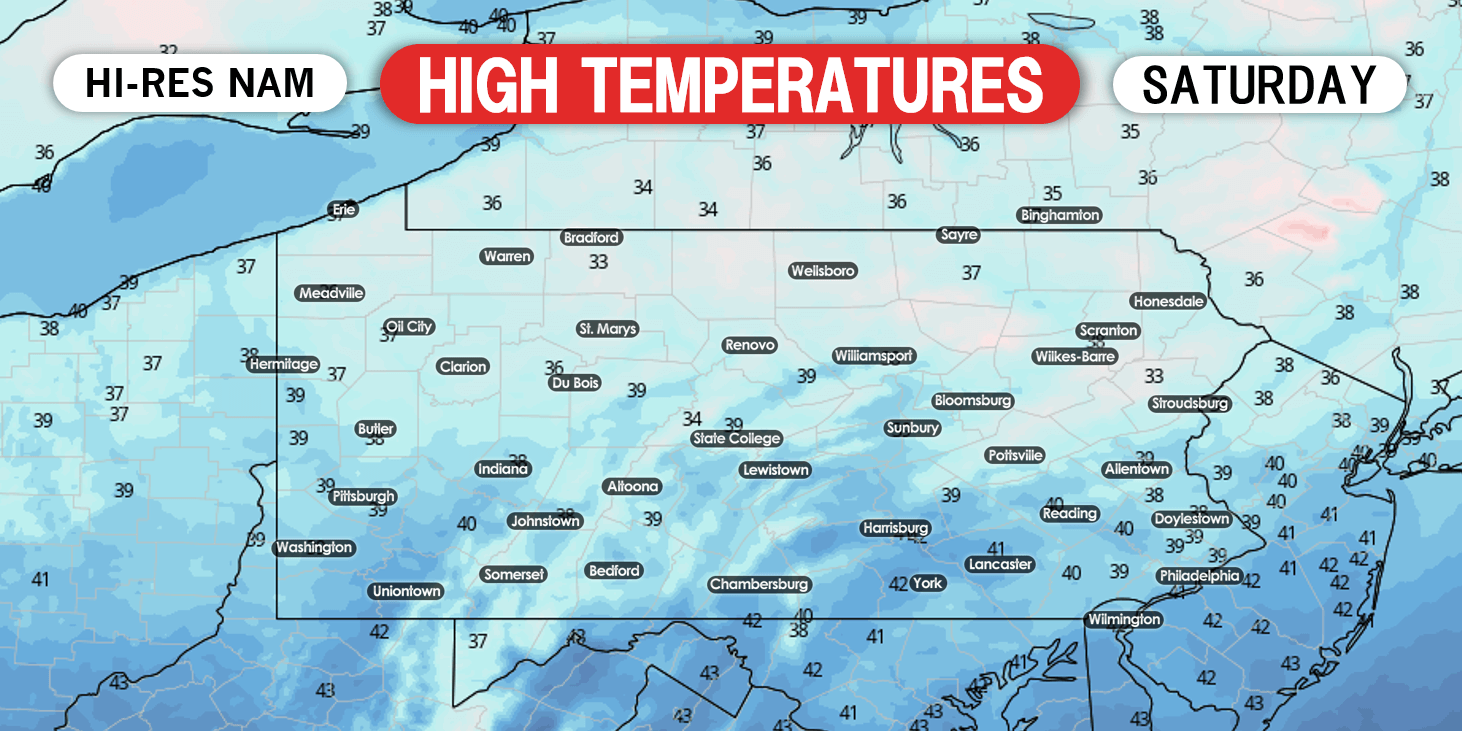
Below is a look a project anomaly temperature map for early Wednesday morning. Temperatures will range anywhere from 20 to 30 degrees below normal for this time of year. If this were to verify, records will be broken, if not shattered. Just to clarify the numbers on the map below temperatures compared to normal. If you see “-25” that does not mean it will be negative 25 degrees. The “-25” means that area will be 25 degrees below normal for this time of year.
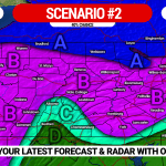
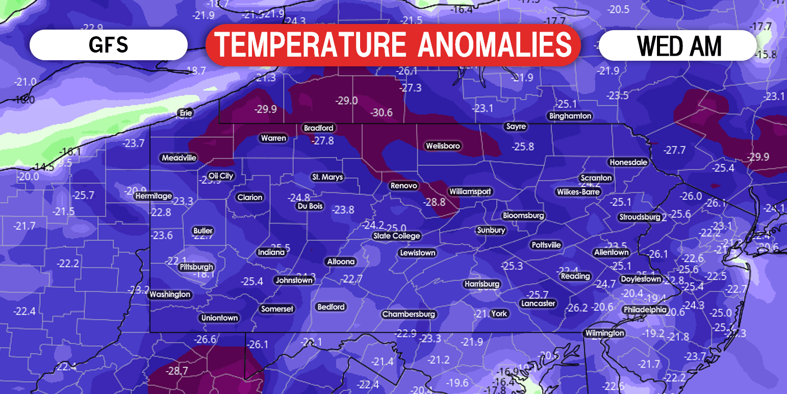 Now the question is, will we see precipitation with this record cold? Right now, we are uncertain. There is a potential storm that may impact the state Monday into Tuesday. Depending on what track that storm takes, will determine what areas see rain and/or snow. We will know more regarding that storm by tomorrow.
MINIMUM LOW TEMPERATURES EXPECTED NEXT WEEK
Area A: Low temperatures between 0 and 9 degrees expected. This beats record lows by about 5°.
Area B: Low temperatures of 10-19 degrees expected, beating record lows by 5-10°.
Area C: Low temperatures of 20-23 degrees anticipated, tying record lows.
Don’t forget to share this forecast with friends and family using the share button below!
Track the next week’s storm potential and much more with our free app >>> Weather Action App
We have morning video updates discussing the possibility of upcoming winter weather in the area >>> YouTube Channel


You must be logged in to post a comment.