
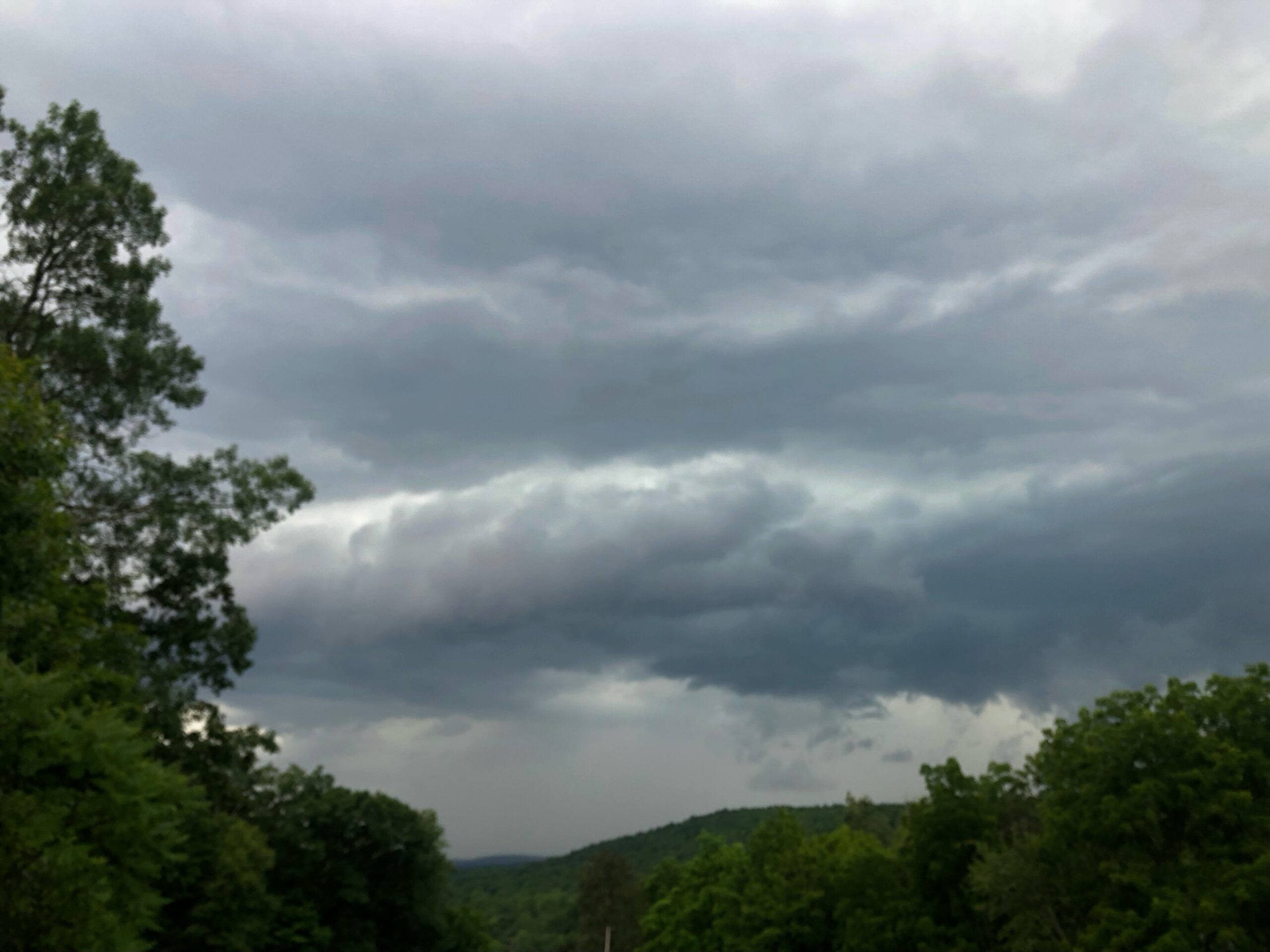
A cold front ignited strong thunderstorms yesterday afternoon and evening. Durrance in Luzerne County reported 1″ diameter hail, and Kidder Township in Carbon County was blasted by straight line winds estimated at 100mph by the National Weather Service.
Downed trees were reported over much of the area, resulting in widespread power outages. Thousands of homes remain without power this evening!
FRIDAY
The cold front responsible for yesterday’s excitement ushered in another shot of refreshing Canadian air. Tonight’s temperatures will fall into the 40s, and Friday’s weather will feature sunshine, low humidity, and highs in the 70s for most locations. Enjoy!

SATURDAY
Another cold front will approach our area, spreading showers across the area during the morning. South wind ahead of the front will deliver increasing humidity throughout the day, and it will start to feel quite muggy by afternoon.
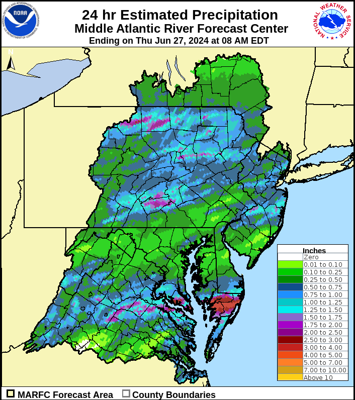
That humidity will help spawn thunderstorms with locally heavy rain during the afternoon and nighttime hours. Localized amounts could exceed 2″. The extremely muggy conditions will linger through Saturday night into early Sunday morning.

SUNDAY
The cold front will reach our northwestern counties during the morning, and our southern counties later in the afternoon. The opportunity for thunderstorms will linger until the frontal passage.
Humidity will also remain quite high until that frontal passage. Refreshing Canadian air will move into our area during the afternoon, featuring much lower humidity.

BEYOND SUNDAY (Mon-Fri July 1-5)
That refreshing Canadian air will provide a dry start to the week with low humidity and cool overnights. Temperatures and humidity will slowly creep upwards midweek ahead of a cold front which will provide the opportunity for thunderstorms Thursday and Friday.

You must be logged in to post a comment.