
Believe it or not, we have rounded the bend in severe weather season and at the end of the peak. Sunday was a very active day with many tornado warnings and severe thunderstorm warnings. No tornadoes have yet been confirmed, but widespread wind damage took place across mainly central Pennsylvania.
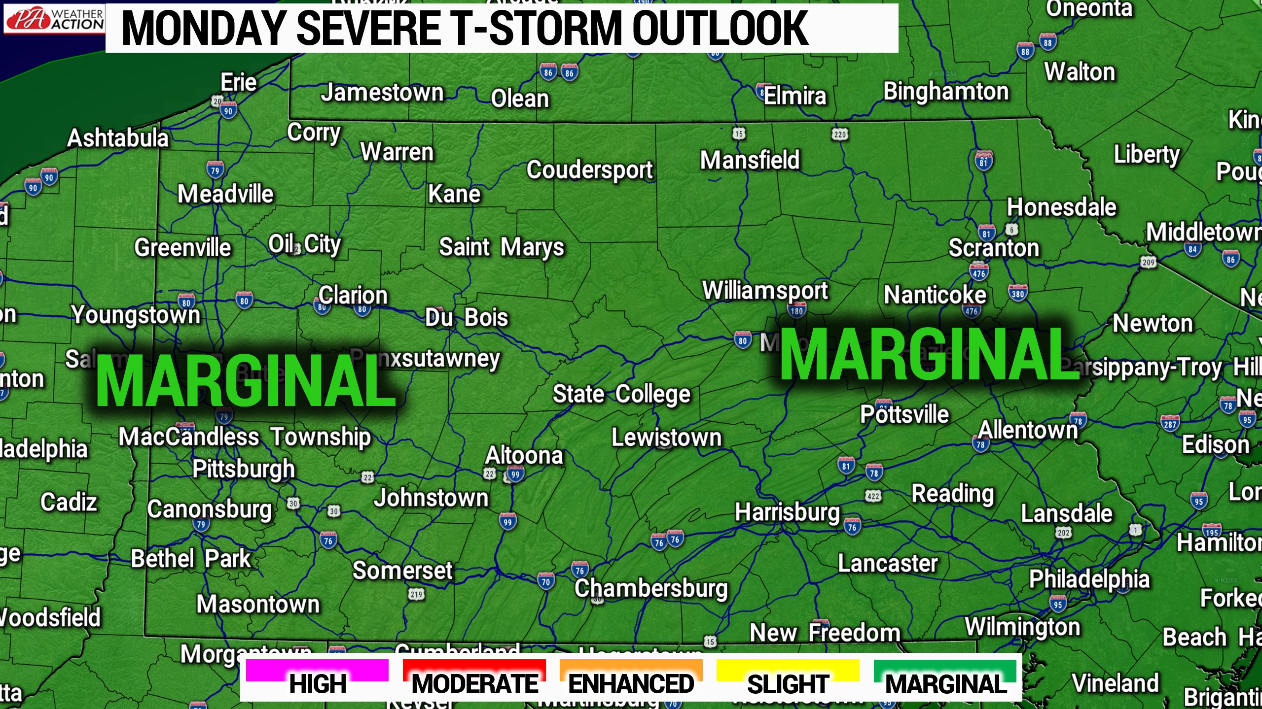
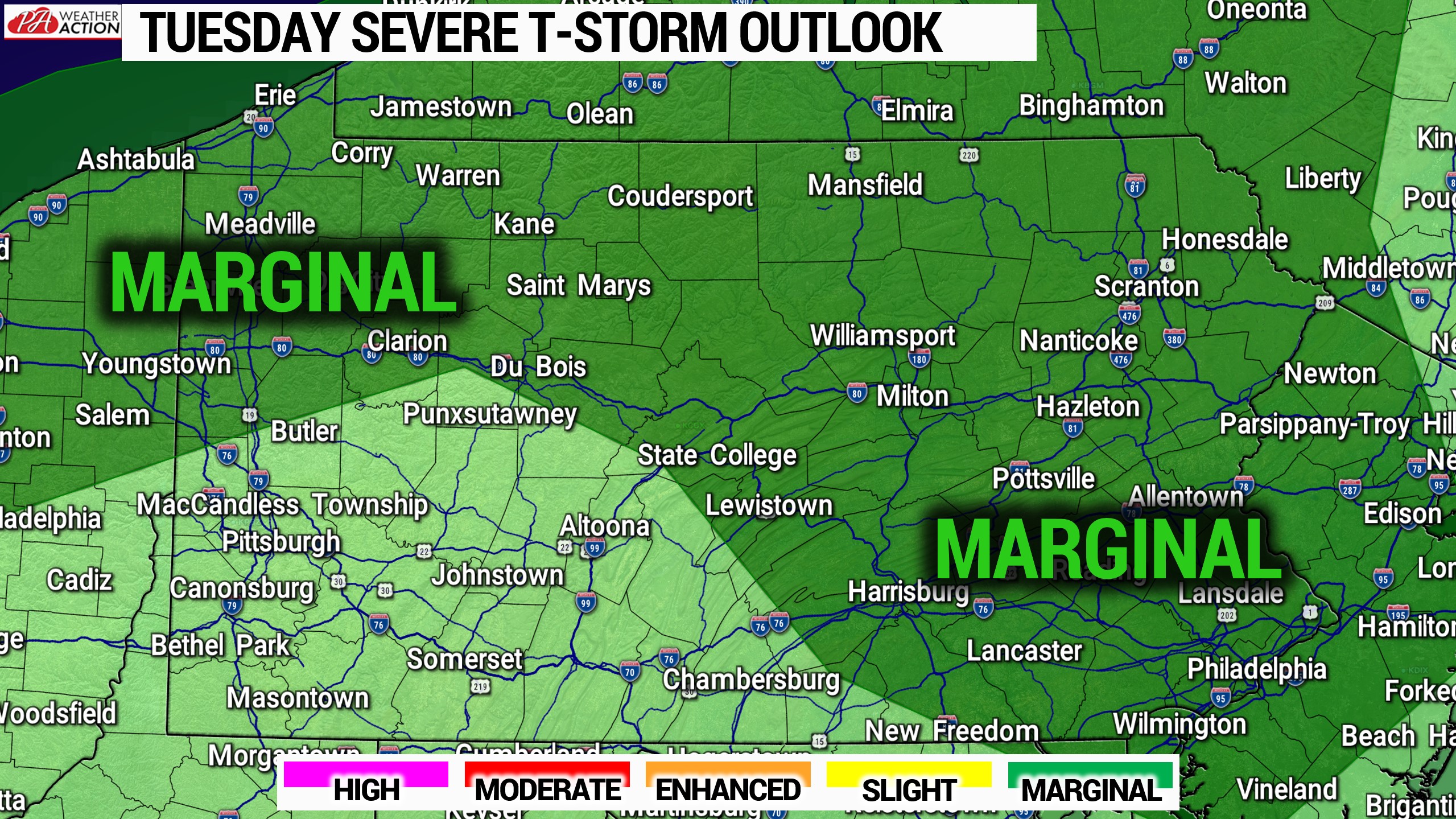
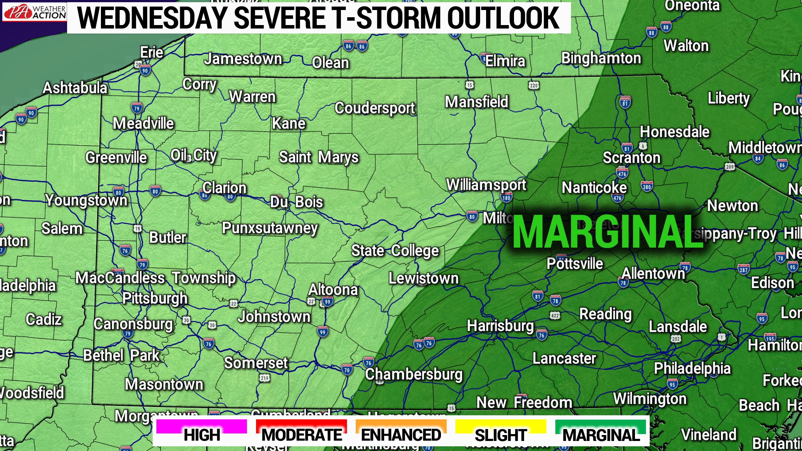
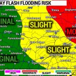
Now with more hot and humid days comes more chances for strong summer storms. The Storm Prediction Center has much of the state in marginal risks for the next three days, as shown below.
Thunderstorms will be fairly scattered on all three days, with damaging winds as the primary risk. As usual, have a reliable source to receive timely weather alerts from. We are currently upgrading our app, adding best-in-industry MyRadar Minutely Forecast, as well as the following layers to our map: Lightning, Stormcells, Winds, Severe Outlook, Tropics, Fronts, and Drought in addition to Radar, Temperatures, Satellite, and Alerts. The app will continue to be free with even less ads! Stay tuned for that update, probably coming by August.
You must be logged in to post a comment.