
Significant to major flooding has taken place in several PA towns this evening, where as much as 3 to 6 inches of rain has fallen in these towns. Dauphin, York, and Lebanon counties were a few of the counties hit hardest.
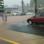
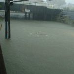
Roads were turned into rivers this evening, leaving motorists stranded. Below are images from this evening’s flooding in Dauphin county:
Photos are courtesy of Sean Simmers and of pennlive.com
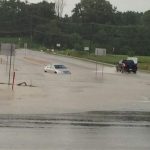

Neighbor's trying to save vehicles in Middletown @PennLive pic.twitter.com/dsVJ0j3SsQ
— Sean Simmers (@SeanSimmers) July 23, 2017
These same areas will likely see another several hour period of steady to heavy rain as we head into the overnight hours. Below is a look at our future radar valid 2:00 AM: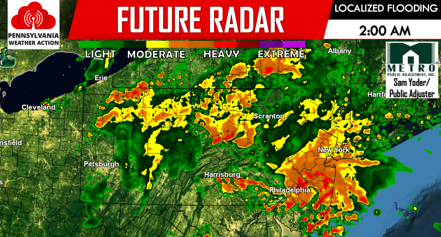
BELOW IS A MAP DISPLAYING WHICH AREAS WE HAVE THE MOST CONCERNED FOR LOCALIZED SERIOUS FLOODING: 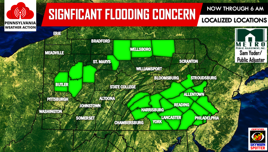
Again this is a LOCALIZED threat. Not everyone shaded in the green will see serious flooding. However, the locations that received well over a few inches of rainfall this evening, will once again experience significant flooding as another 1 to 2 inches of rainfall is possible during the overnight hours.
Stay tuned to our Facebook page for the latest>>>PA Weather Action on Facebook!
Be sure to share this article with your family and friends below to warm them about the flooding by using our icons below, stay safe!

You must be logged in to post a comment.