
Rinse, wash, and repeat. Tomorrow our area will once again be dealing with the potential for severe weather. This time around, the southern third of Pennsylvania stands the better chance of experiencing severe weather. We do expect much of tomorrow morning to be dry. The threat for severe thunderstorms will arrive in the afternoon hours.
The thunderstorms will begin to fire up in western Pennsylvania during the early afternoon hours. The general direction of these storms will be from west to east. Below is a look at our future radar valid for 2:00 PM tomorrow afternoon: 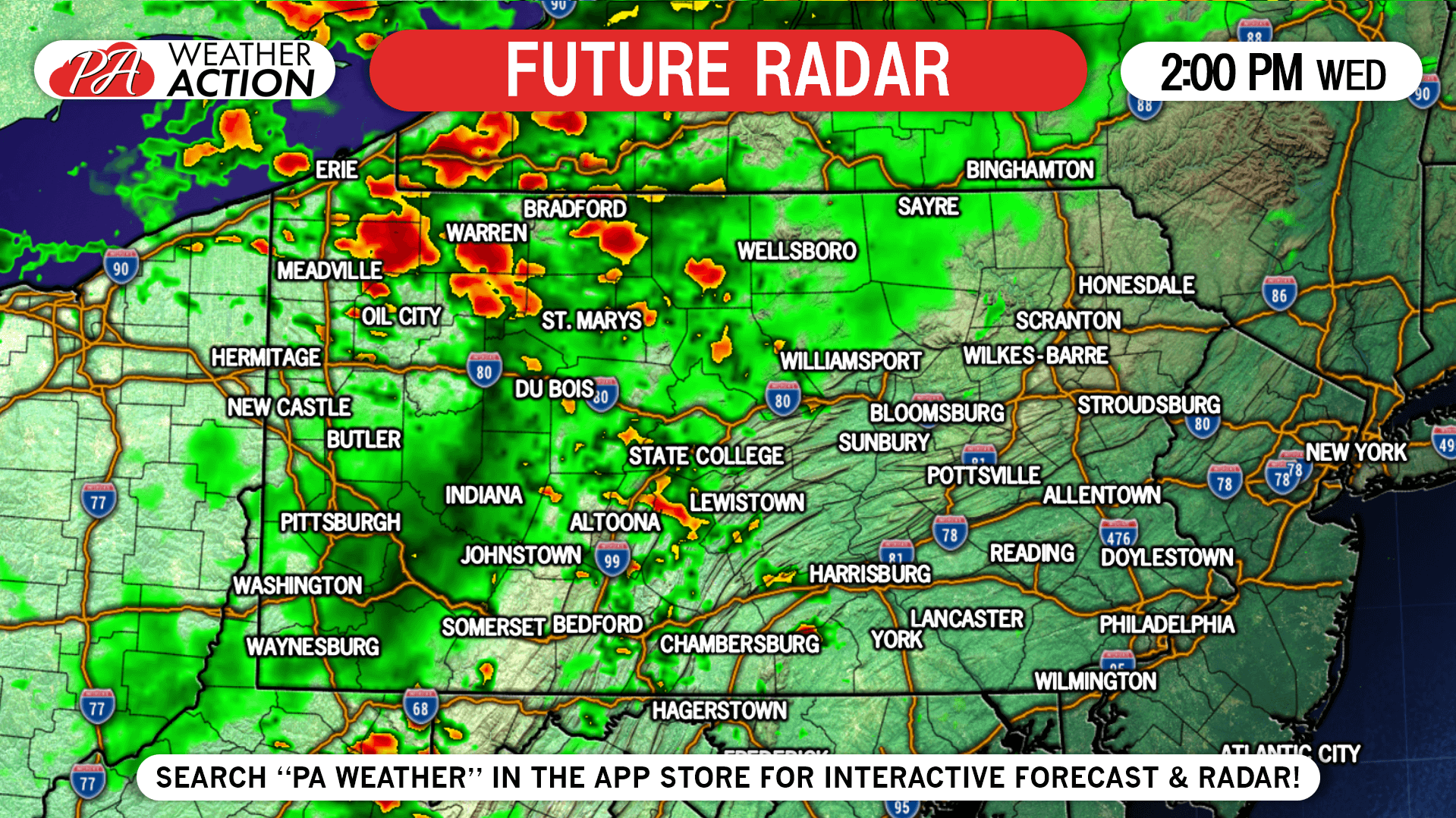
As we move forward into the evening hours tomorrow, our future radar is suggesting the potential for lines of severe weather to develop. If this does occur, this will enhance the severe weather threat wherever these lines of storms do form. This particular model suggests this occurs across northern and eastern Pennsylvania. Below is a look at 6:00 PM, you can see the line developing across our northern counties. 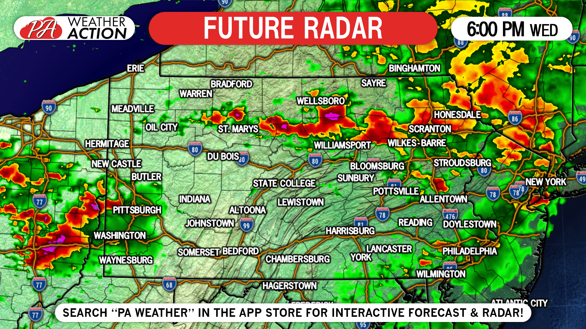
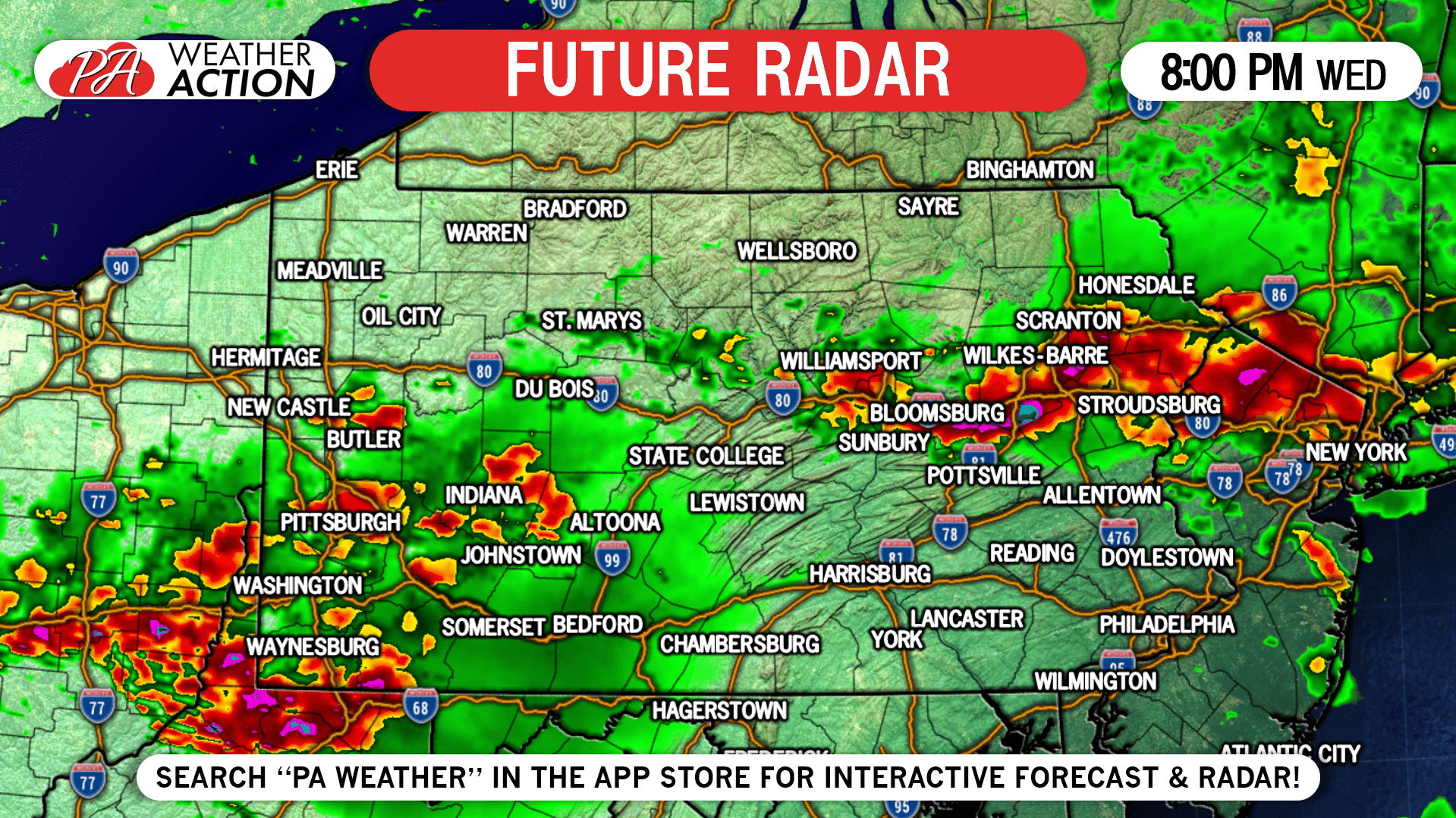
Most of the severe weather is expected to be over by 10:00 PM tomorrow night, with lingering rain showers and thunderstorms possible through midnight Thursday morning. 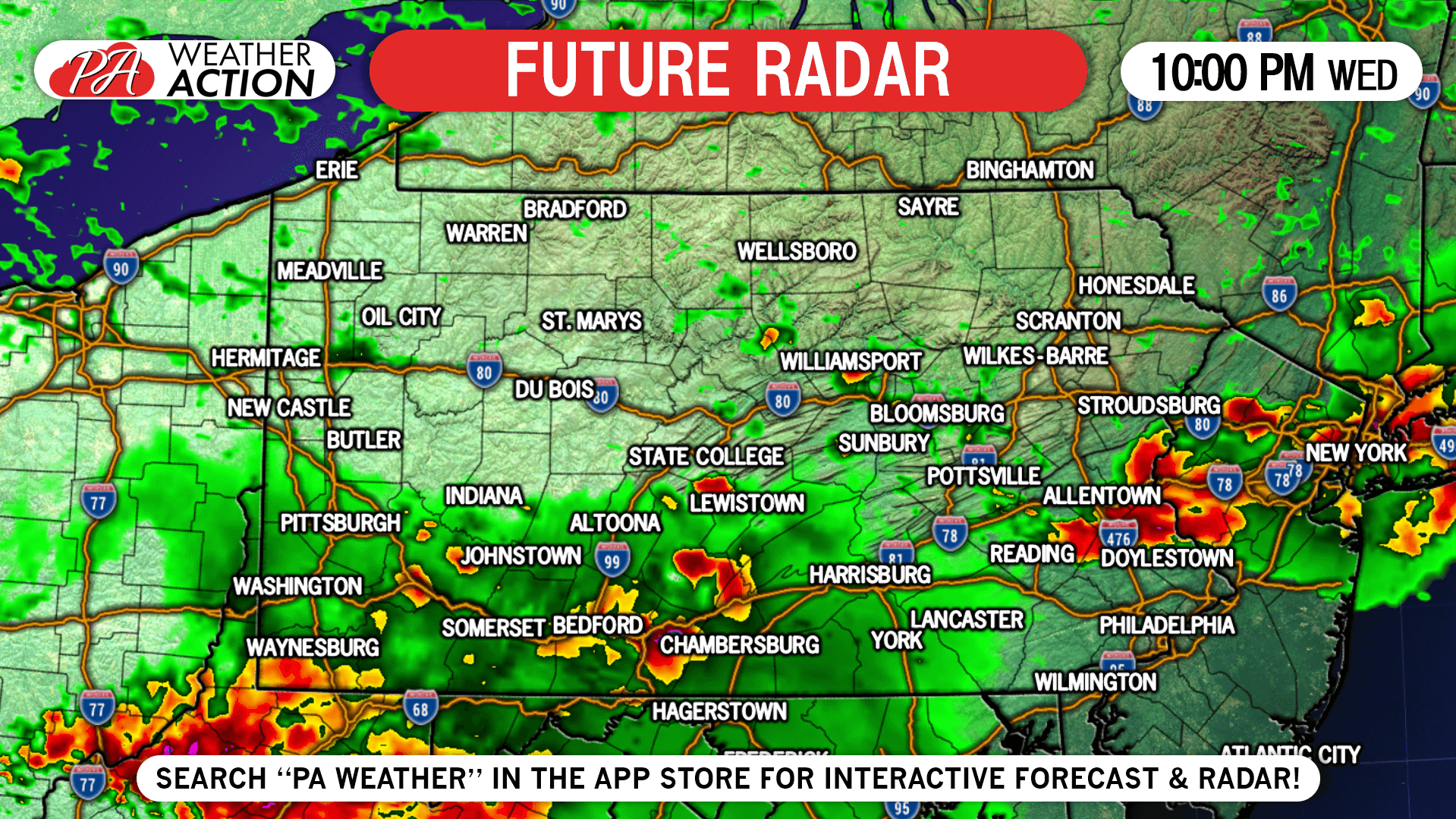
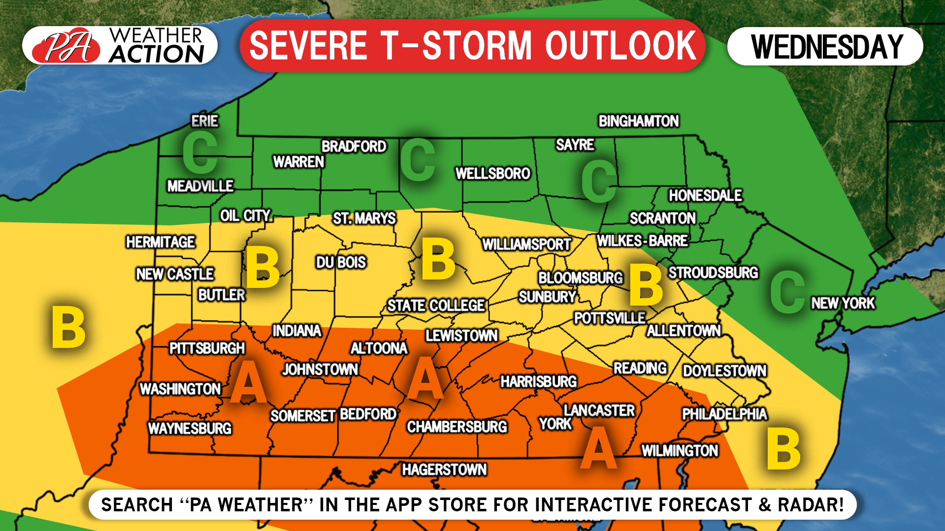
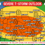
SEVERE WEATHER OUTLOOK FOR WEDNESDAY ISSUED BY THE STORM
PREDICTION CENTER:
Area A: These locations are under an ENHANCED RISK for severe weather. The main threats include damaging winds in excess of 60 MPH and large hail. A few tornadoes are possible.
Area B: These locations are under a SLIGHT RISK for severe weather. The main threats include damaging winds in excess of 60 MPH and large hail. An isolated tornado cannot be ruled out, but are not as likely as locations in the enhanced risk.
Area C: These areas are under a MARGINAL RISK for severe weather. The main threats include damaging winds in excess of 60 MPH and large hail.
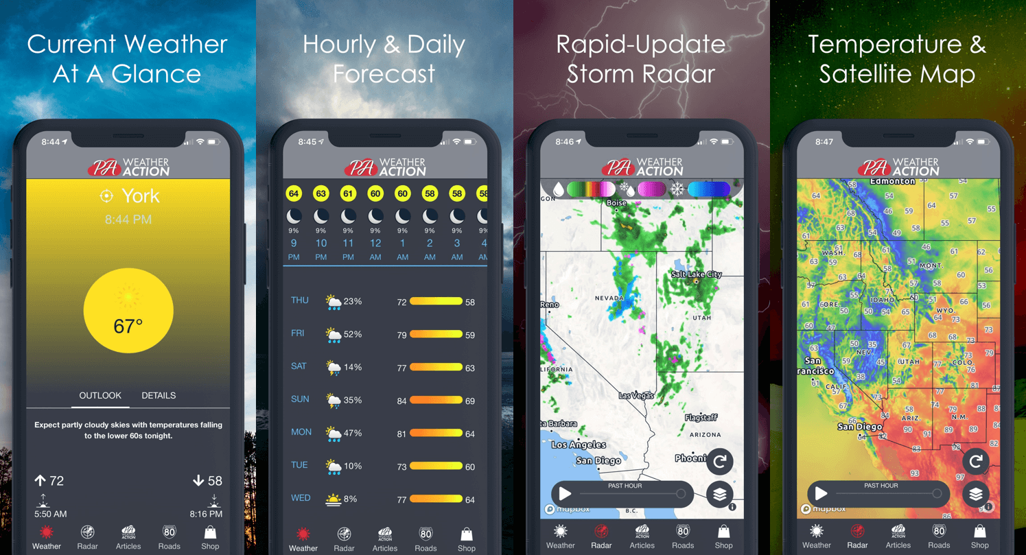
We will have the latest updates posted on Facebook page as the storms unfold tomorrow. For now, stay ahead of the action by downloading our free app today! Click below:
You must be logged in to post a comment.