
Similar weather patterns will continue this weekend with daily chances for showers and thunderstorms. Severe storms cannot be ruled out. Cooler temperatures are expected late this weekend and into early next week.
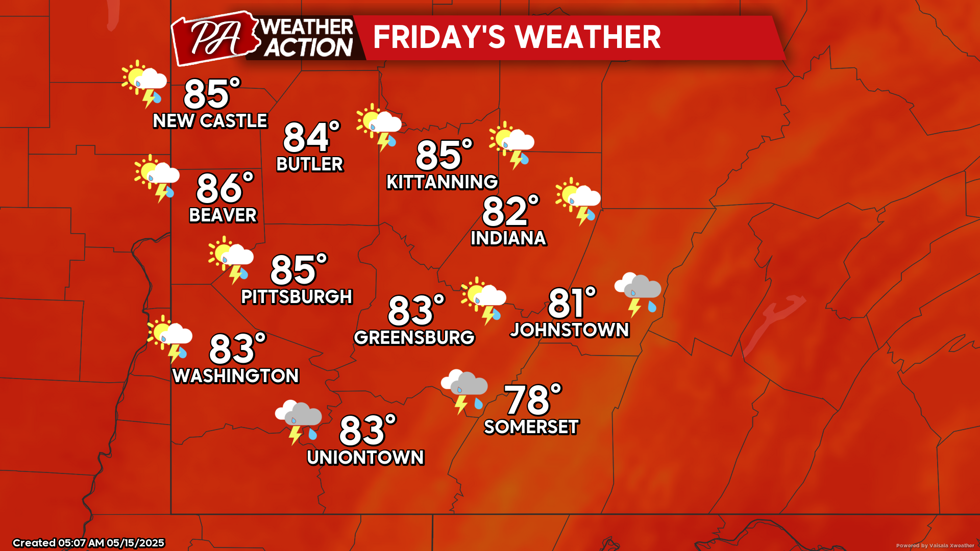
Friday
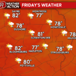
The passage of a warm front will bring the possibility severe thunderstorms in the morning and early afternoon hours. Chances for showers and thunderstorms will continue throughout the day. Highs will be in the mid 80s to upper 70s, lows will be in the low 60s. Winds will be out of the west at 5-10 mph, wind gusts approaching 20 mph are possible, especially in thunderstorms.
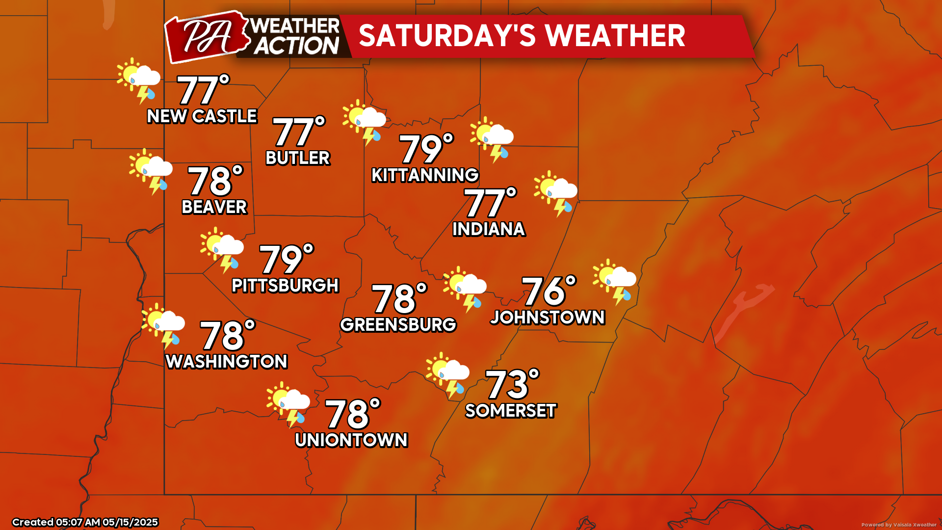
Saturday
Showers and thunderstorms are likely throughout the day. Breezy conditions are also expected. Highs will range in the 70s, lows will be in the mid to low 50s. Winds will be out of the west-southwest at 10-20 mph, wind gusts approaching 30 mph are possible.
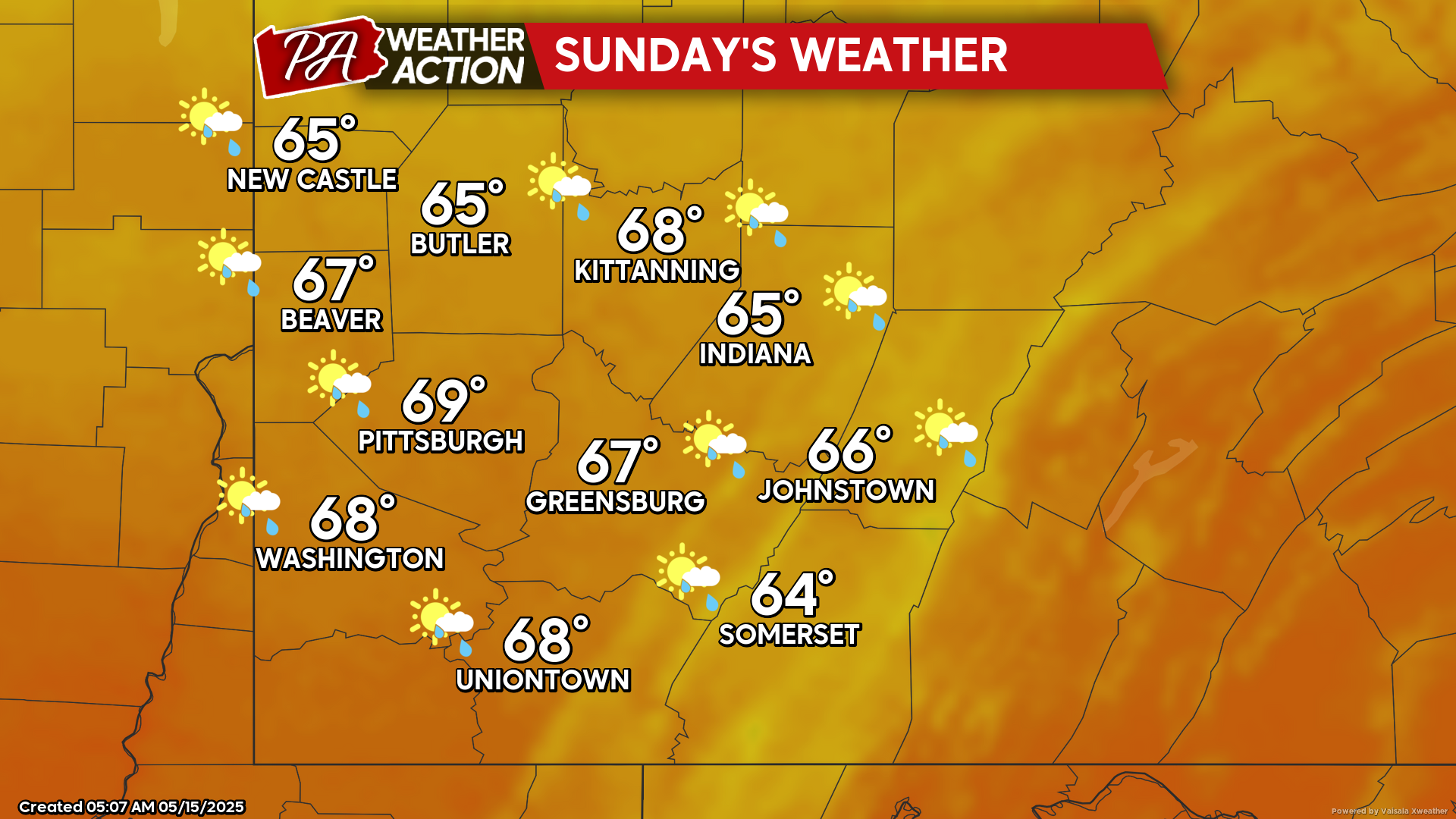
Sunday
Partly sunny conditions and cooler temperatures. Highs will be in the high to mid 60s, lows will be in the high to mid 40s. Winds will be out west-northwest at 5-10 mph, wind gusts approaching 25 mph are possible in the morning hours.
High pressure will set in to start the week bringing clearer conditions. Be sure to follow PA Weather Action for more forecasts.
You must be logged in to post a comment.