Tuesday’s cold front interacted with the backdoor front off the ocean to ignite a band of powerful thunderstorms along that frontal boundary. Many locations from Scranton to the Lehigh Valley experienced large hail and vivid lightning. Those storms decayed rapidly when they propagated eastward into the cooler maritime air. A surface high behind that front brough mild air to the area Wednesday, and as it moved off the coast delivered today, it pumped summery air northward into our area. Another cold front is currently crossing our area but will not deliver any precipitation.
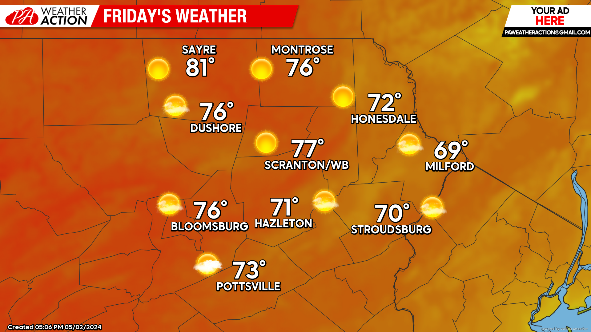
FRIDAY
Sunshine and near normal temperatures will prevail. Enjoy! Watch for onshore flow pushing westward into the eastern parts of our area, potentially holding temperatures down in those areas, although the backdoor front will most-likely only affect New Jersey.
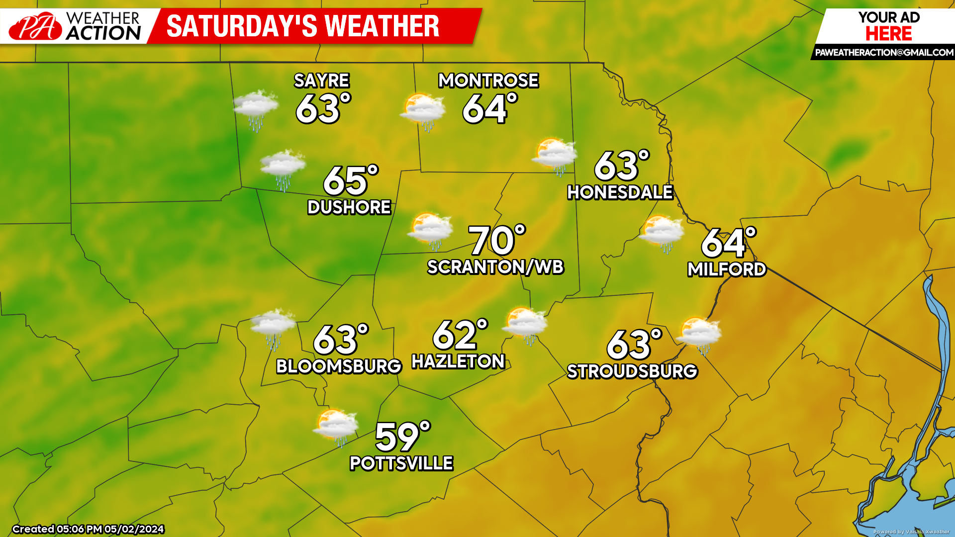
SATURDAY
An area of showers will encroach from the west and possibly spread some showers into our area during the afternoon.
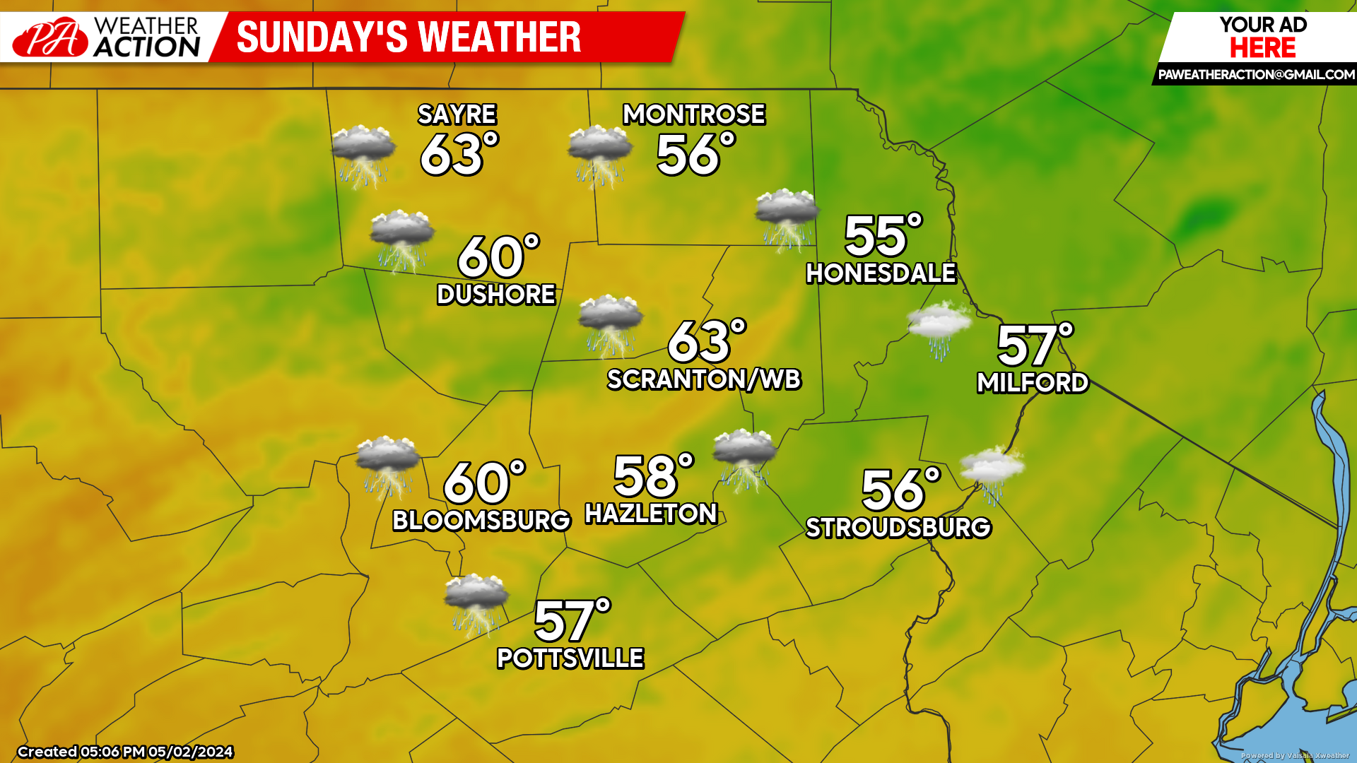
SUNDAY
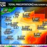
A frontal zone will be draped across our area with periods of showers rippling eastward along that zone. There could also be some thunderstorms and areas of heavy rain. Rainfall amounts will range from a half inch to as much as two inches.


You must be logged in to post a comment.