
You would’ve thought nearing or breaking rainfall records in May would’ve resulted in flooding and us having plenty to talk about, but neither were true. It rained most days in May, and almost never in the form of thunderstorms.
After a blazing start to severe weather season in April, May was a snooze fest. We now look to June, which is usually when severe weather really starts ramping up. This threat for Thursday and Friday is pretty low-end, but next week and especially the following look to bring greater chances.
A very weak low pressure in the Eastern Great Lakes along with decent CAPE and mid-level lapse rates will produce the chance for some small hail and frequent lightning within these cells Thursday into Friday. There is an extremely low tornado concern.
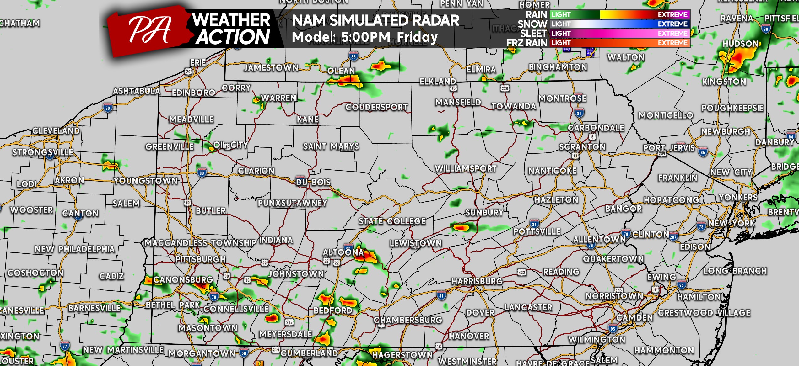
HI-RES NAM FUTURE RADAR TIMING
Storms will begin developing in the late afternoon, isolated in coverage to start. These cells will be push east-northeast.
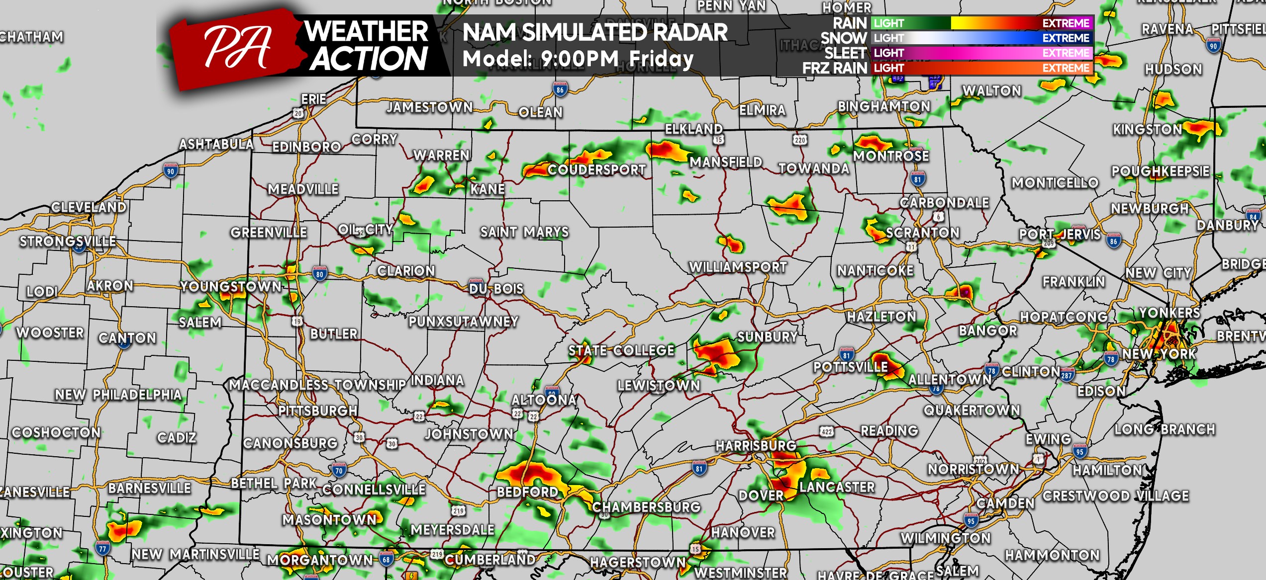
As the evening progresses, more thunderstorms are expected to develop. They will still be scattered in nature, in nearly all areas of the state. Below is the Hi-Res NAM for 9:00 PM Friday.
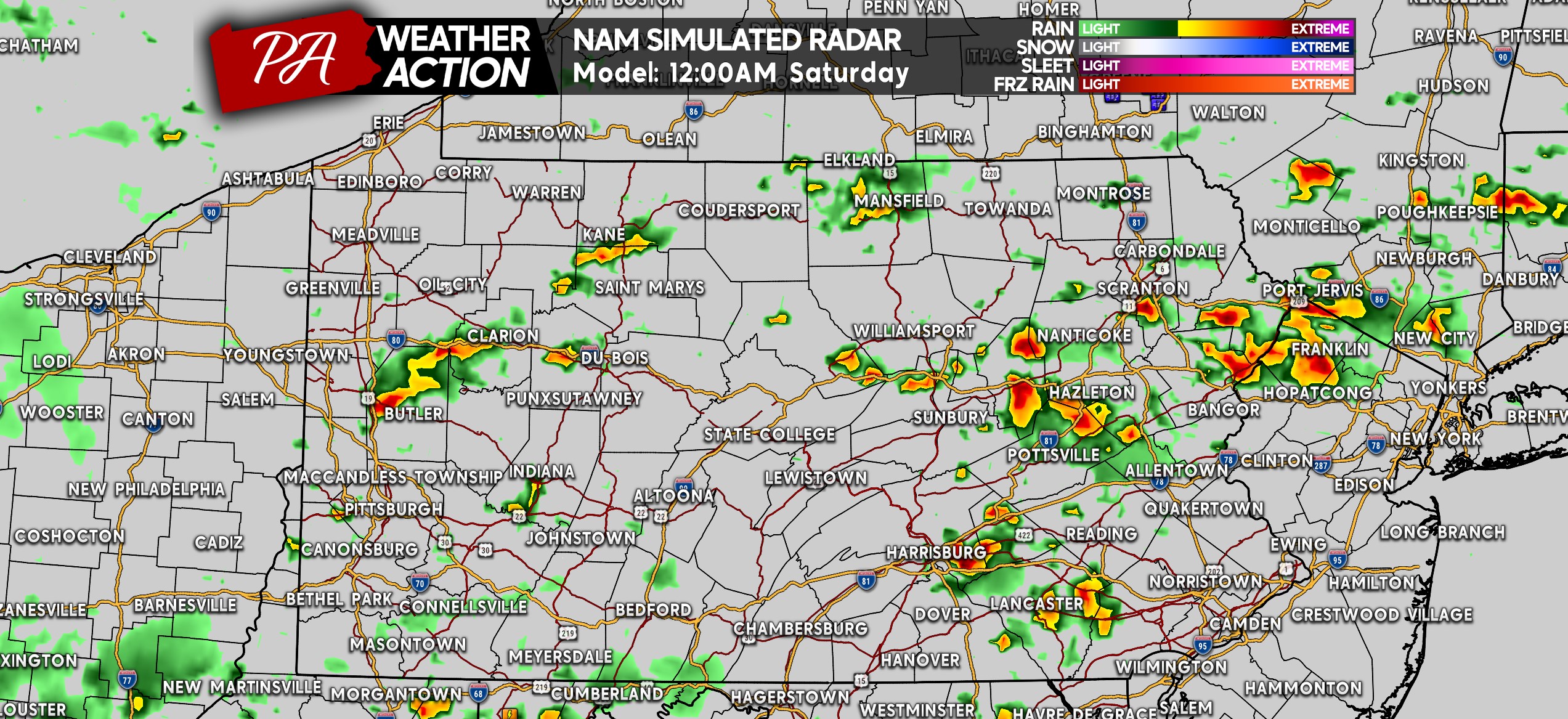
It doesn’t end there, because of high instability late into the evening. Many of these cells will continue moving east, not weakening until early Saturday morning. Here’s a look at midnight.
FRIDAY’S SEVERE THUNDERSTORM THREAT
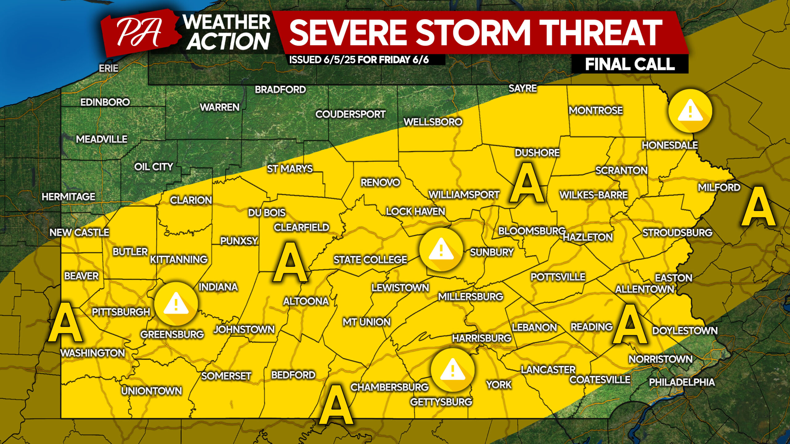
Area A: Scattered ordinary to strong thunderstorms expected. Isolated gusty winds up to 60 MPH and small hail are the main risks, accompanied by frequent lightning in stronger storms.
You must be logged in to post a comment.