

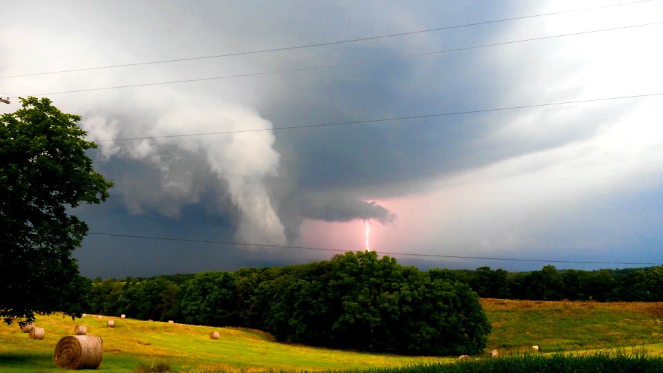
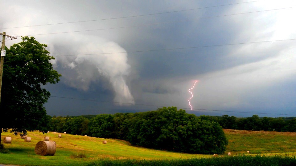
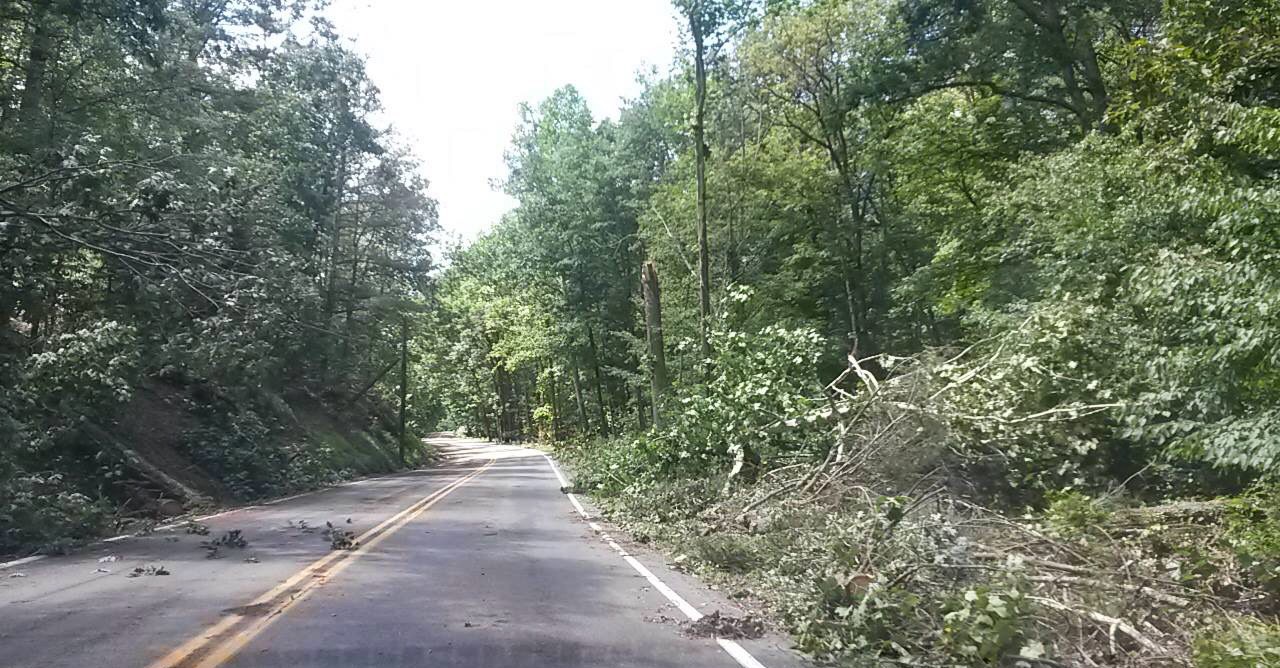
Just before 6 PM Friday, a Tornado Warning was issued for a supercell thunderstorm in Fulton County. The county sits on the Maryland Line in Southcentral PA. The NWS State College Survey Team traveled to the area Saturday, and confirmed an EF-1 tornado took place. Maximum wind speeds were estimated to be between 95-105 MPH.
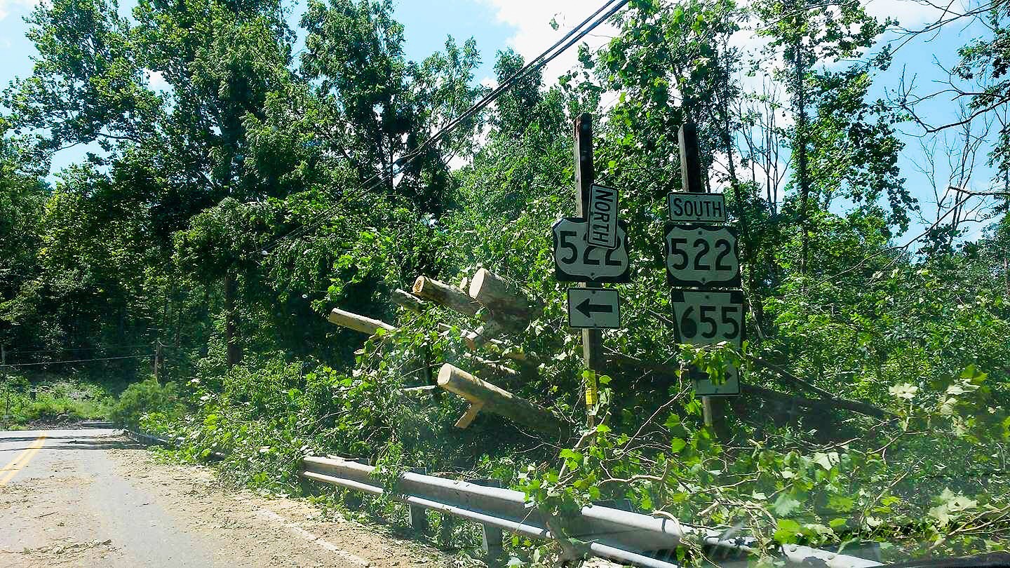
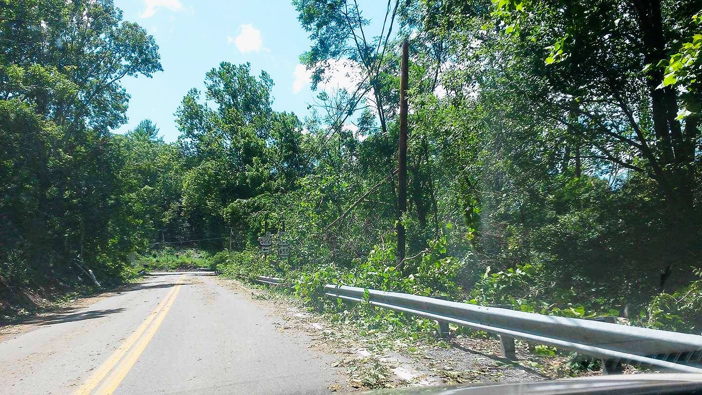
The tornado occurred in Needmore, Southern Fulton County. Below is a gallery of photos displaying the event as it happened and the damage it left behind. Click a photo to enlarge it. Credit goes to Desiree Kendall, a follower from the area.


Remember to share these photos with your friends using the icons below!

You must be logged in to post a comment.