
Hopefully you’ve been able to take advantage of the fantastic weather the past few days, because a wet next week is on tap for the state. Most days will not be a washout, but showers and storms will roam the area frequently until next Friday.
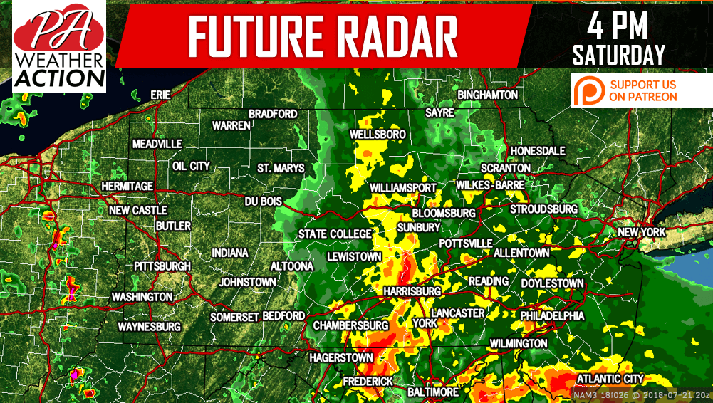
Moderate to locally heavy rainfall can be expected across the eastern half of PA beginning Saturday afternoon, ending Sunday Morning. Between 1-3″ of rain is likely over the eastern half of the state during this 12-18 hour period. Sunday afternoon will be mainly dry except for some showers south of the turnpike.
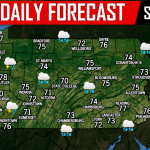
Here is the future radar for 4 PM Saturday:
Monday, Tuesday, Wednesday, and Thursday will all feature widespread showers and thunderstorms. Locally heavy rainfall is possible during this period, and flash flooding will be a threat. Here is the future radar for 2 PM Monday: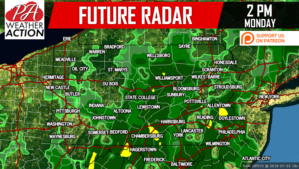
Above average precipitation is expected for the next two weeks, so unfortunately this weather isn’t going anywhere fast.
7 DAY RAINFALL FORECAST MAP
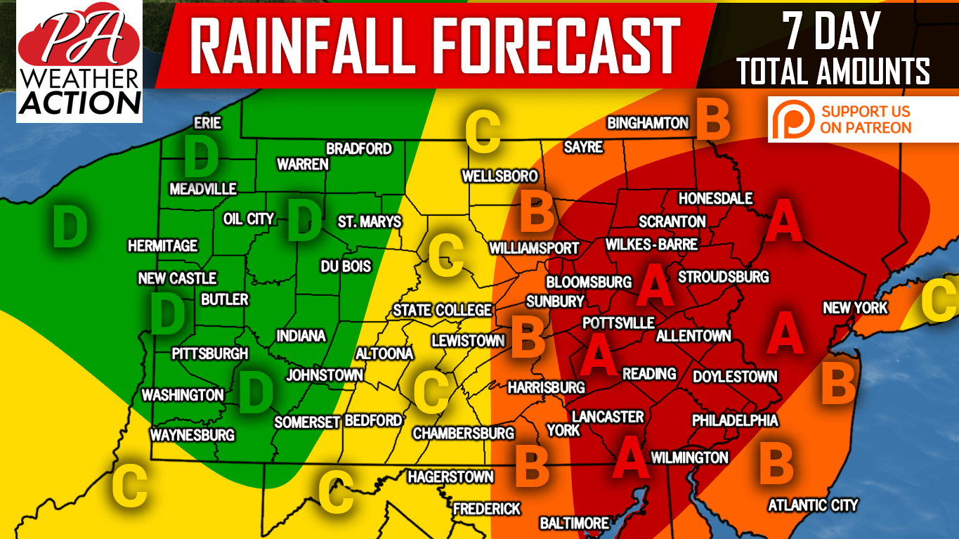
Area A: Total rainfall amounts of 4-6″ are expected. Prepare for localized flooding and avoid flooded roadways.
Area B: Total rainfall amounts of 3-4″ are expected. Prepare for localized flooding and avoid flooded roadways.
Area C: Total rainfall amounts of 2-3″ are expected. Isolated flash flooding possible.
Area D: Total rainfall amounts of 1-2″ are expected.
We recommend watching basements for flooding throughout the next couple weeks. “A mere 6 inches of fast-moving flood water can knock over an adult. It takes just 12 inches of rushing water to carry away a small car, while 2 feet of rushing water can carry away most vehicles. It is NEVER safe to drive or walk into flood waters,” states the National Weather Service.
If you appreciate our work, please consider supporting us on Patreon >>> Our Patreon Page!
Be sure to warn your friends and family of the dangers of flash flooding by sharing this post using the blue button below, stay safe!
You must be logged in to post a comment.