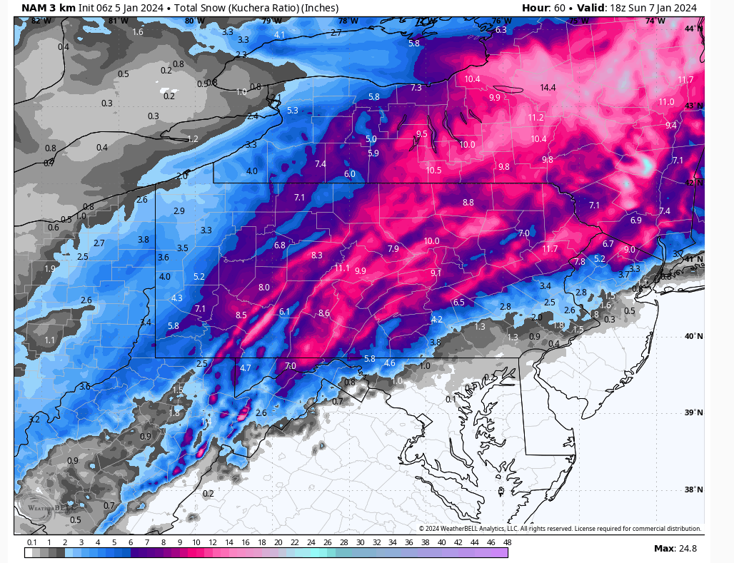
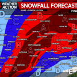
A storm system will develop over the Northern Gulf today and track along the Mid-Atlantic coast Saturday evening. This storm will deliver widespread plowable snow to our area starting Saturday afternoon. The National Weather Service has issued a Winter Storm Watch for the entire area, which will likely be upgraded to a Winter Storm Warning. The heaviest snow will fall overnight Saturday. Unfortunately for those of you in the southern Poconos, some sleet will mix in with the snow. For the rest of the area, this event should be all snow. As the system departs Sunday, there will be lingering light snow across the area.
FRIDAY
Today will feature partly cloudy skies and temperatures peaking around the freezing mark for most areas.
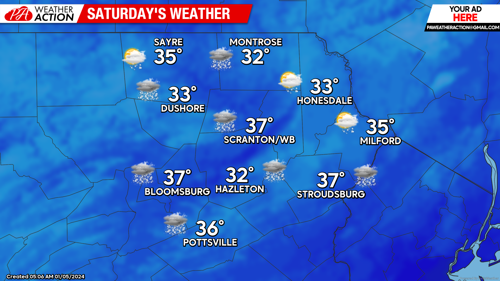
SATURDAY
Saturday will be cloudy, with snow arriving during the afternoon. The snow will be heavy at times Saturday evening, with rates over an inch per hour, totally 6-10″ for most areas. The snow could mix with sleet in the southern Poconos which will hold down their amounts a bit.
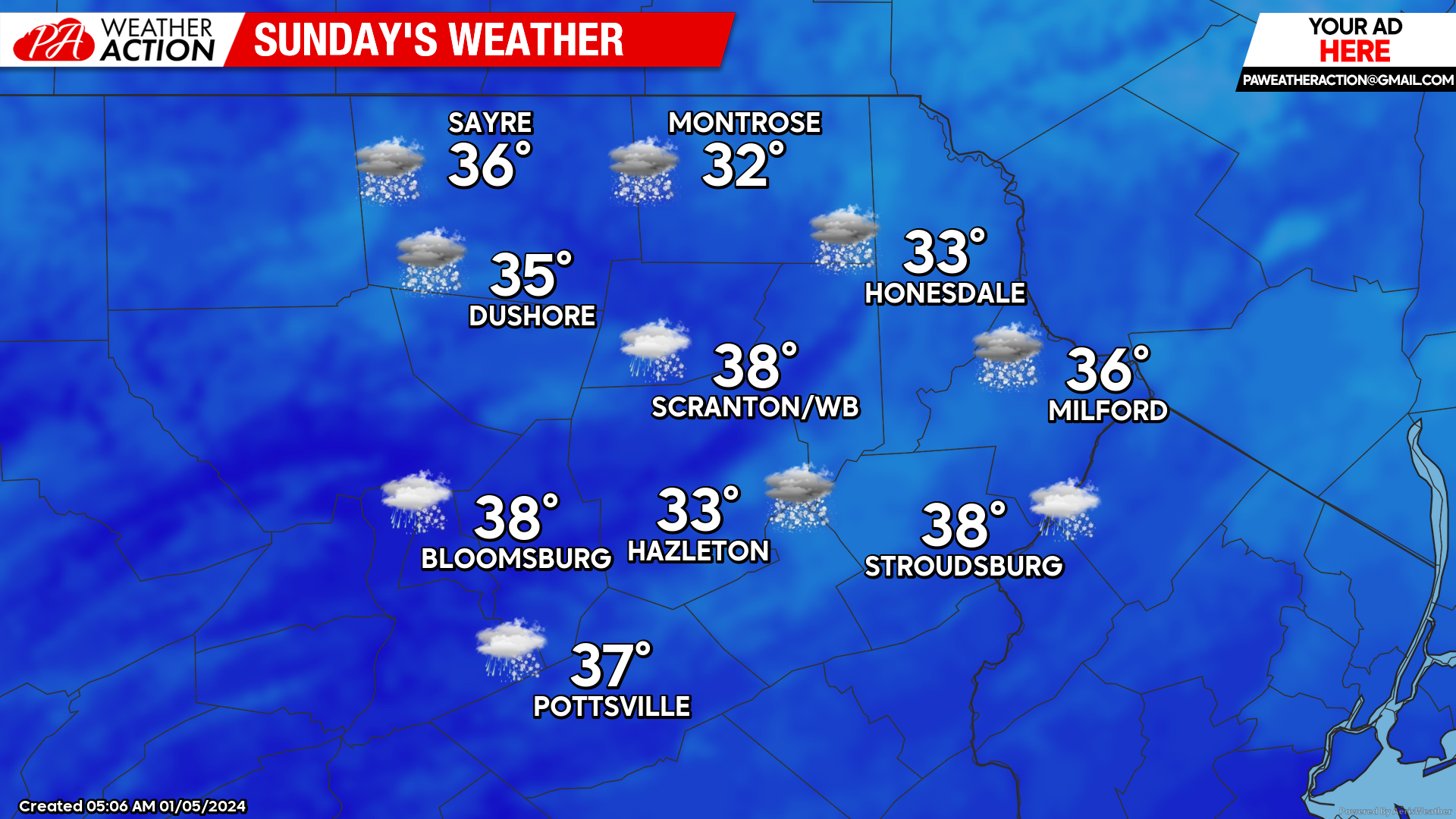
SUNDAY
The bulk of the snow will end before sunrise. As the system departs into the Atlantic, clouds and light snow will linger throughout the day and could provide additional light accumulation.
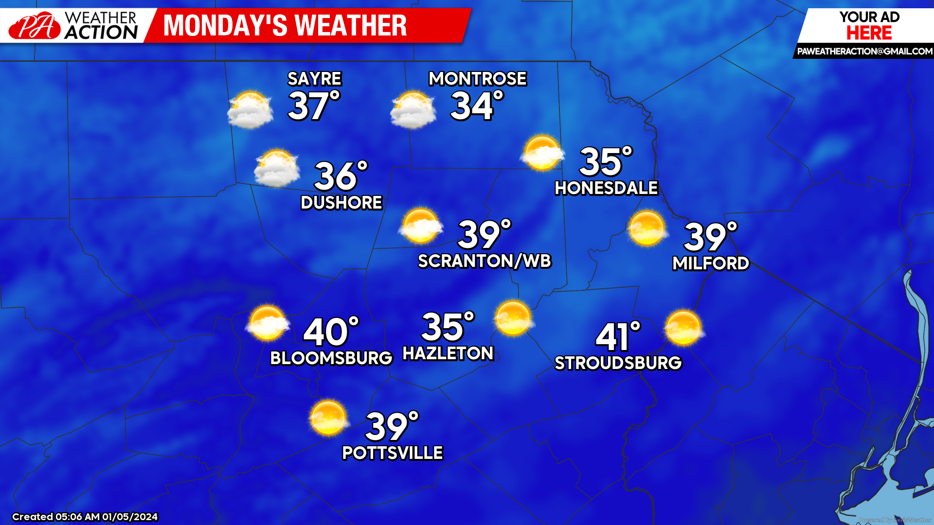
MONDAY
High pressure will move over the area behind the departing storm to bring partly cloudy and dry conditions, along with warmer-than-normal temperatures. Lows will be in the 20s Monday morning, with max temperatures climbing well into the 30s.
BEYOND MONDAY
A powerful storm will ignite over Texas on Monday and track through the Great Lakes Tuesday night into Wednesday. Precipitation will begin as snow in our area Tuesday evening but quickly change to a wind-blown heavy rain Tuesday night into Wednesday. Widespread 1-3″ of rain is likely, along with the potential for strong wind gusts, especially for the higher elevations. The heavy rain and snowmelt could cause flooding issues as this storm will draw much-above-normal temperatures soaring well into the 40s into our area for Wednesday. The storm will be unable to tap any arctic air, so the week will finish with dry conditions and above-normal temperatures Thursday and Friday.


You must be logged in to post a comment.