FRIDAY
While there will be some patchy clouds, Friday will be much sunnier than recent days, with temperatures climbing to warmer-than-normal levels.

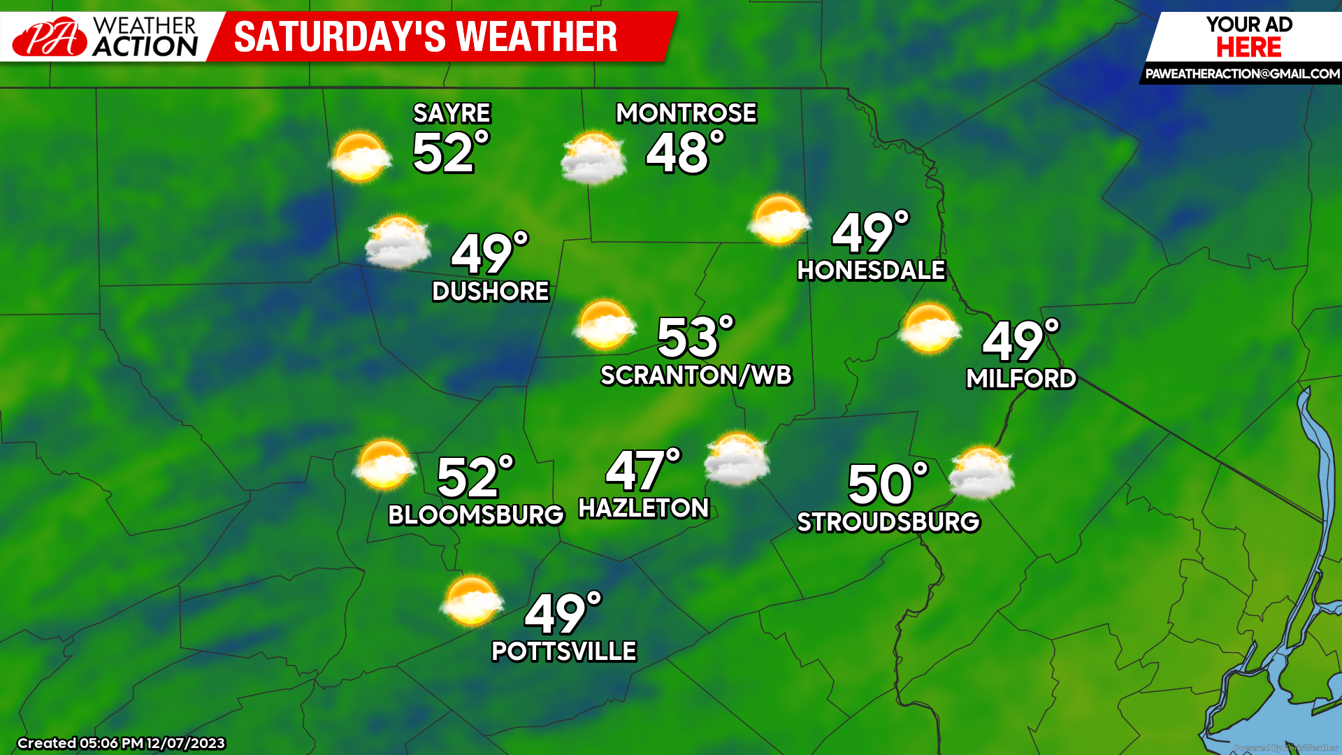
SATURDAY
As the storm over the Plains intensifies and moves towards the Great Lakes, even-warmer air will be drawn into our area. Saturday should remain dry, although there will be an increasing chance of rain after sunset.
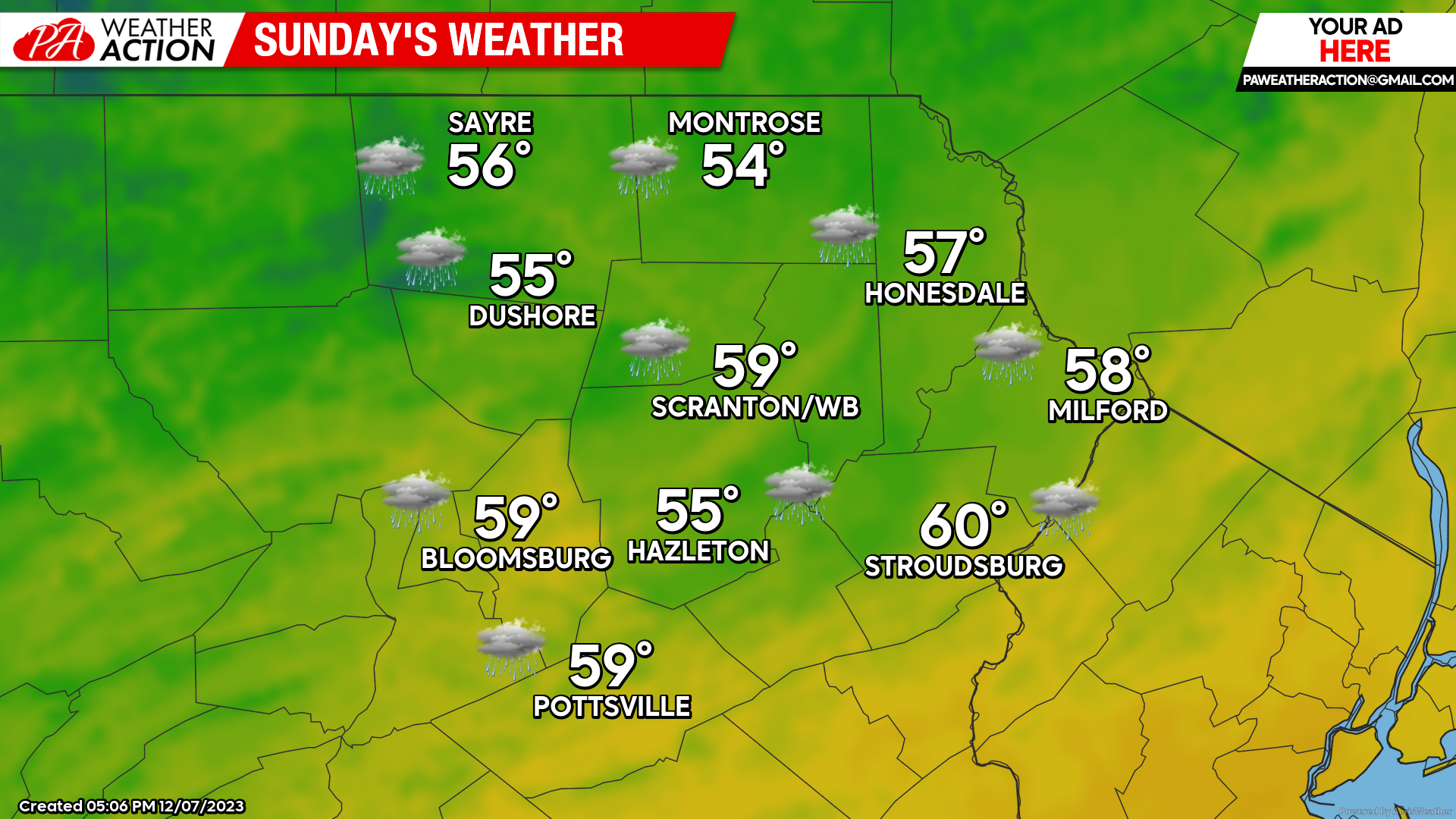
SUNDAY
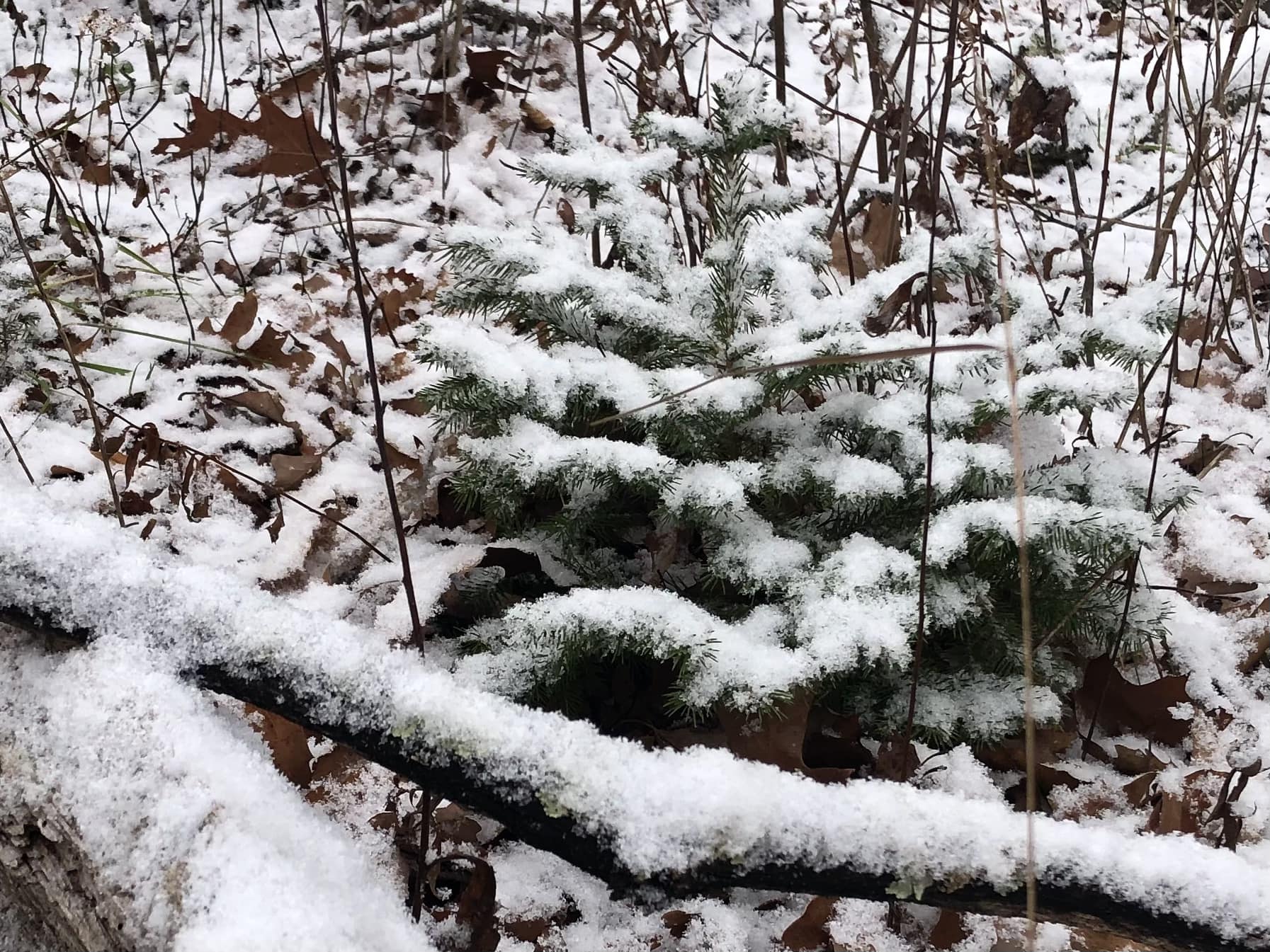
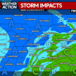
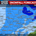
A potent cold front will approach our area during the daytime. Gusty south winds ahead of the front will deliver rounds of heavy rain along with much-above-normal temperatures. The heaviest rain will be during the afternoon and evening. The cold front will crawl eastward through our area Sunday evening, reaching the Delaware River around midnight. Watch for potential thunderstorms with strong wind gusts over 40mph ahead and along the cold front! After the cold front crosses, temperatures will plunge into the 30s, changing the rain to a burst of heavy snow for a bit which could accumulate in some areas, especially over the higher elevations and northern counties.
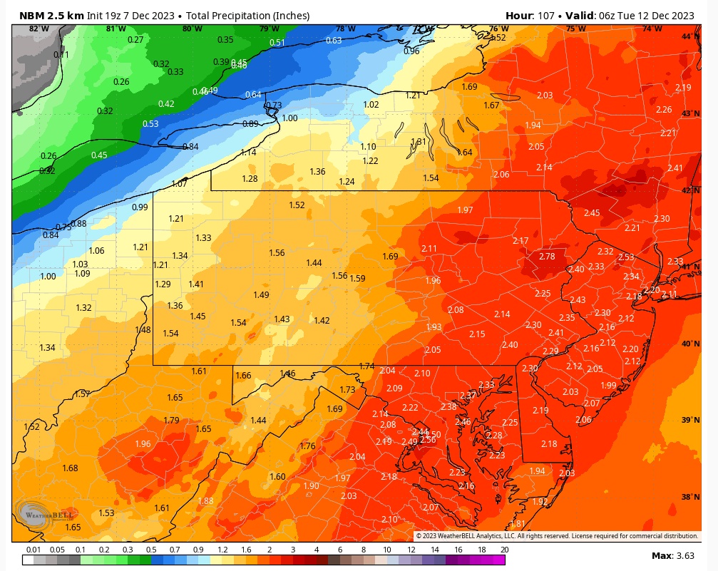
RAINFALL TOTALS

You must be logged in to post a comment.