
Good Evening Everyone! After a short hiatus to take care of some personal things, I am back with your Thanksgiving Travel Forecast! Unfortunately, a strong low-pressure system tracking through the Ohio Valley is set to bring drenching rains and high winds to the region Tuesday into Wednesday. Although our region could desperately use the rainfall, the timing is not ideal with many people traveling for the upcoming holiday. Whether you’re hitting the roads or the skies over the next few days, the weather will likely bring you some slowdowns. Continue reading for more details!
Tuesday
Tuesday morning will begin with overcast skies across the region. Morning lows will range from the upper 20s – mid-30s across the region. Temperatures will gradually warm throughout the morning into the low-mid 40s. By lunchtime, rain will begin to overspread the region. Expect rain to start from Southwest to Northeast between 11am to 2pm.
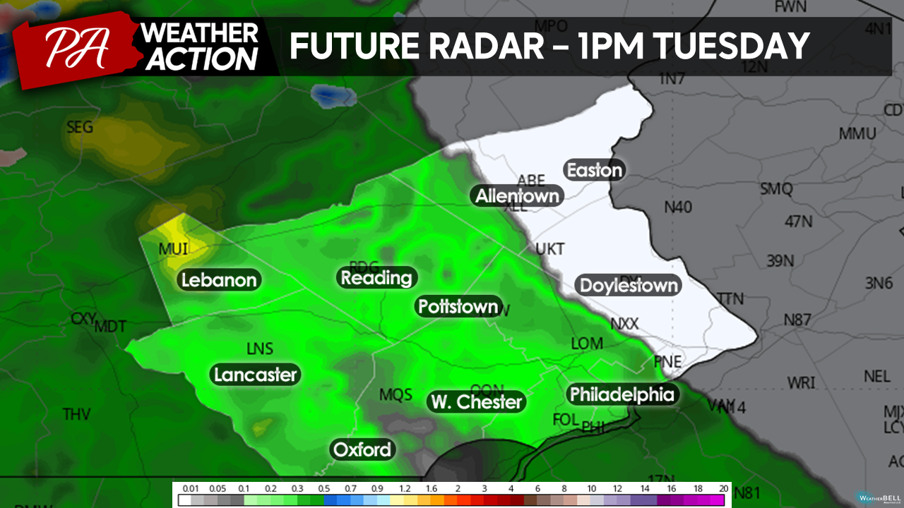
Moderate rainfall will persist across the region throughout the afternoon hours on Tuesday. Winds will also begin to increase during the afternoon. Winds will be out of the SE at 10=20mph with gusts up to 35mph throughout the afternoon, making for treacherous travel at times across the region. Rain will continue throughout the evening on Tuesday, becoming heavy at times. Temperatures will remain steady in the mid-upper 40s.
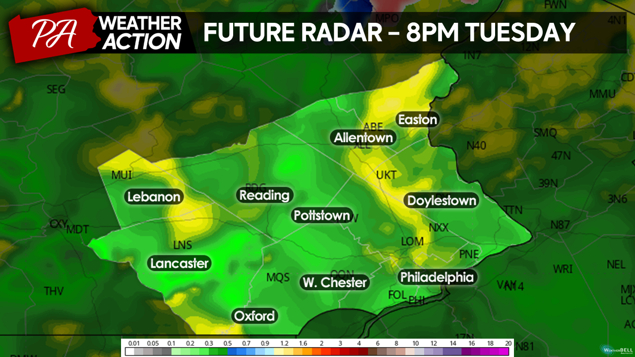
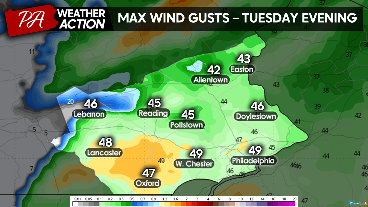
By late Tuesday evening, a line of heavy rainfall and gusty winds will traverse through the region on the back side of our system. Expect a period of torrential rainfall and high winds to move through the region from West to East between 11pm and 2am. Ponding on roadways and isolated tree damage is a possibility with this line of showers. Expect winds to gust up to 50 mph as this line of showers moves through.
 Rainfall will clear the region quickly behind the line of gusty downpours, and most areas should be dry by Wednesday morning. Our storm system will drop a substatial 1.5″ – 2″ of precipitation over the region throughout the day on Tuesday. Additionally, expect wind gusts up to 50mph Tuesday night. Delays and cancelations are likely at airports on Tuesday as our storm moves through. Make sure you check with your airlines on Tuesday and plan travel accordingly around the ugly weather.
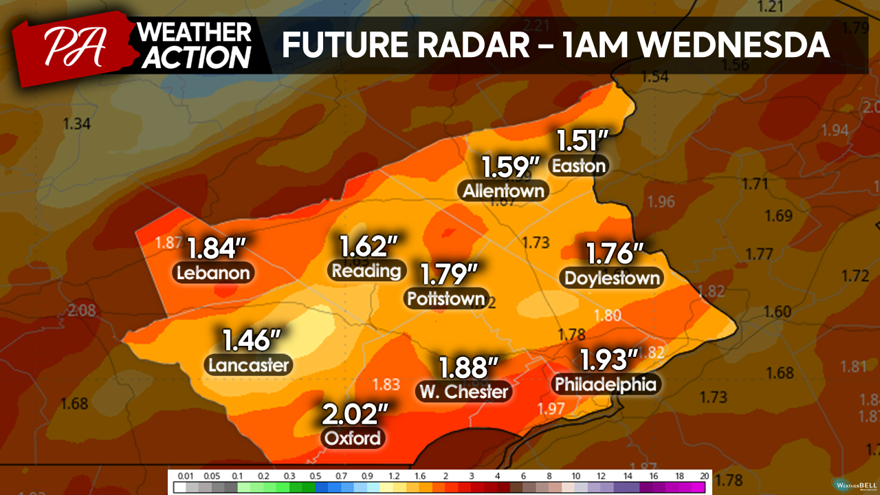
(Edit: The above graphic shows total precipitation despite the graphic title)
Sidenote: It is worth mentioning for those of you planning on traveling to areas NW of our region temperatures will be cold enough Tuesday morning for a period of Snow and Freezing Rain before transitioning to Rain that may make roadways slick. Make sure you check weather forecasts for your destinations to see if wintry weather is a possibility!
Wednesday
Although the rainfall will have cleared the region, cloud cover will persist into Wednesday morning. Initially, temperatures will be mild behind our storm system. Morning temperatures will start in the low-mid 50s. Persistent cloud cover throughout most of the day and cool Northwesterly winds will keep temperatures fairly consistent throughout the day on Wednesday. High temperatures will peak in the upper 50s to near 60 Wednesday afternoon. Despite the clouds, Wednesday will remain dry and will be a much better day for travel.
 Thursday
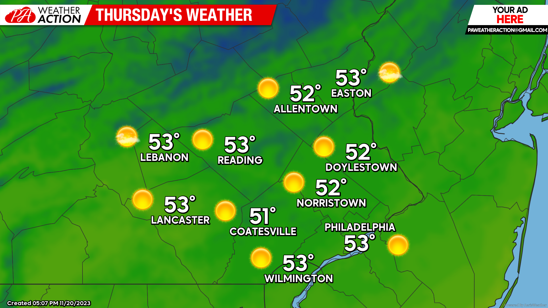
On a more positive note, clouds will clear the region by Thanksgiving, setting the stage for a beautiful holiday across the region. Expect mostly clear skies Thanksgiving morning, with temperatures starting in the mid-30s – low 40s. Sunshine will dominate into the afternoon on Thursday, with highs reaching the low 50s by early afternoon. Weather will remain quiet into the evening hours for your dinner plans, with temperatures in the 40s.
Looking ahead, the weather after the holiday will turn quiet and seasonably chilly for this weekend. I hope you all have an amazing week and Holiday! There will be a post on Friday (instead of Thursday) this week to update the weather for the weekend. If you have any comments or questions about the forecast, feel free to let me know!
-Michael Woytowiez


You must be logged in to post a comment.