
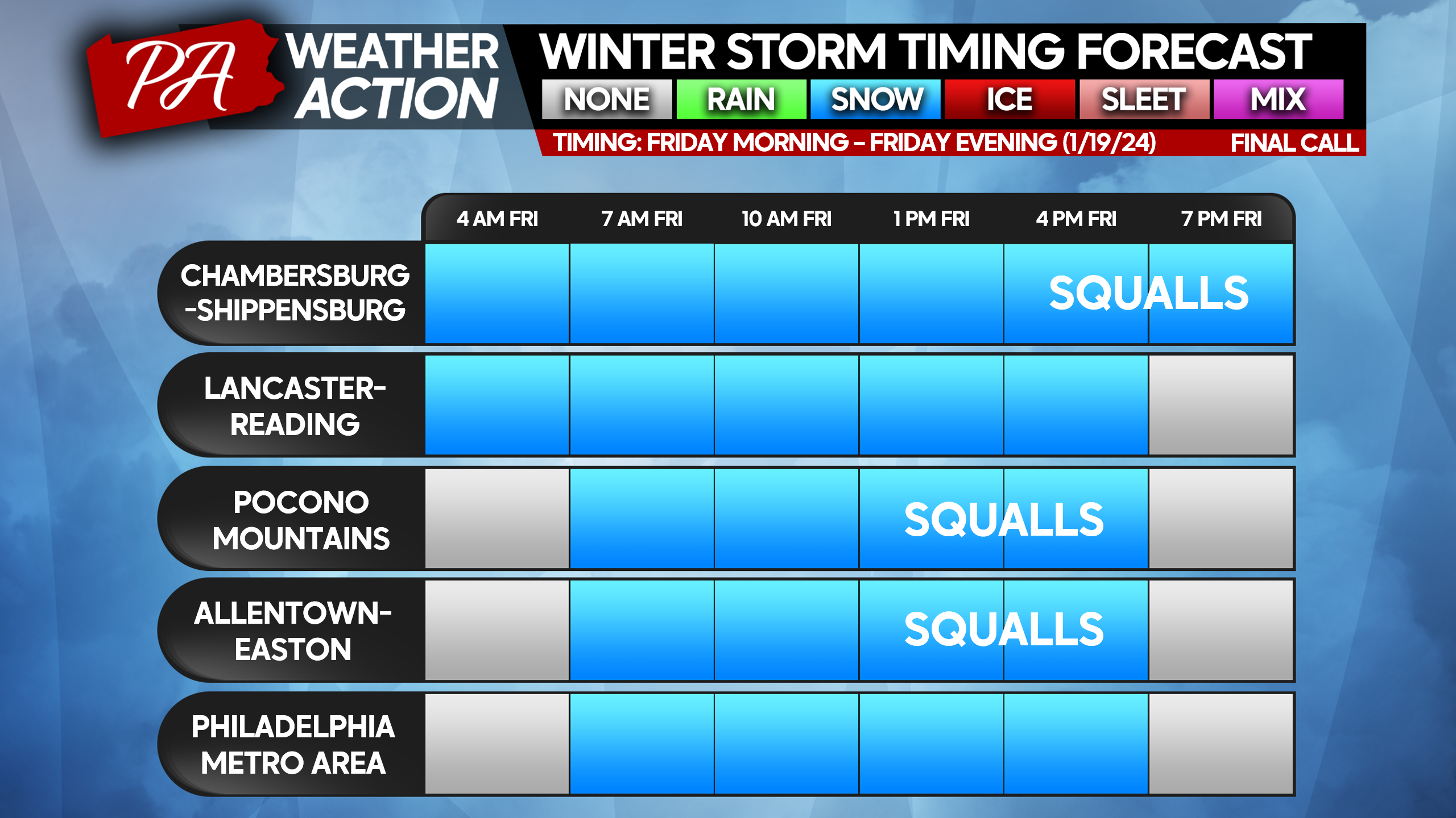
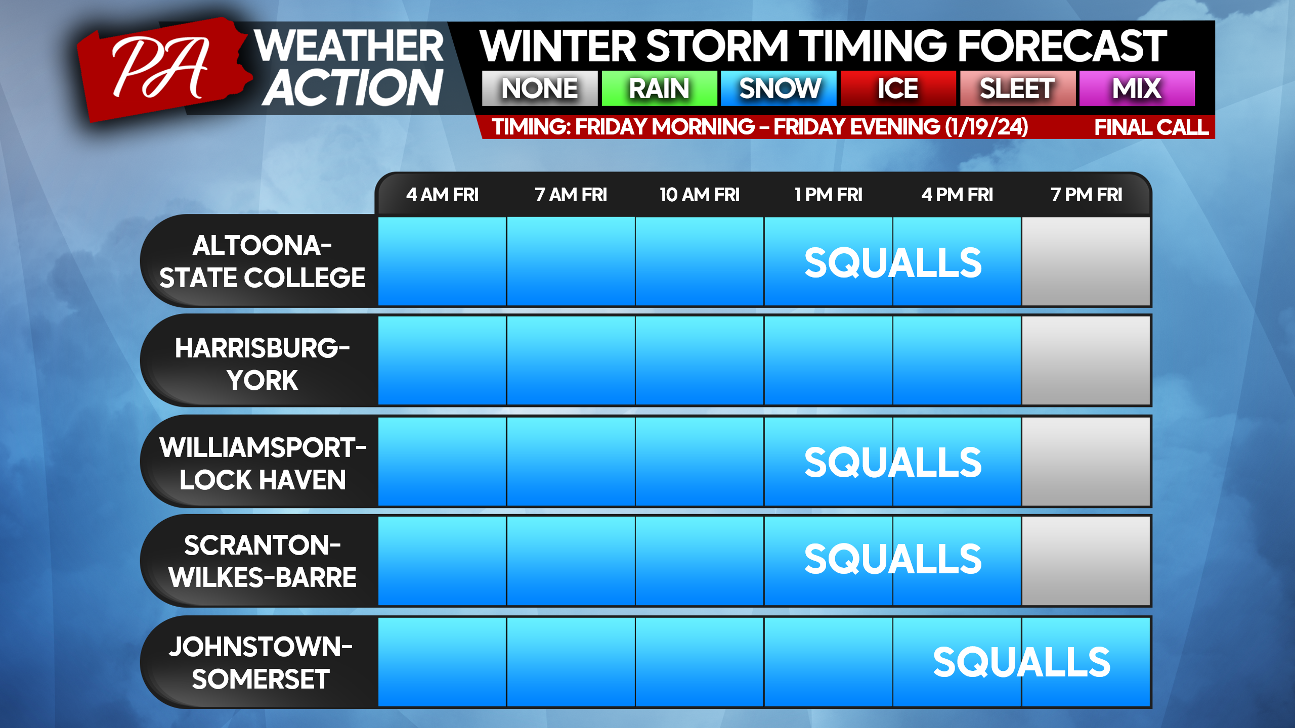
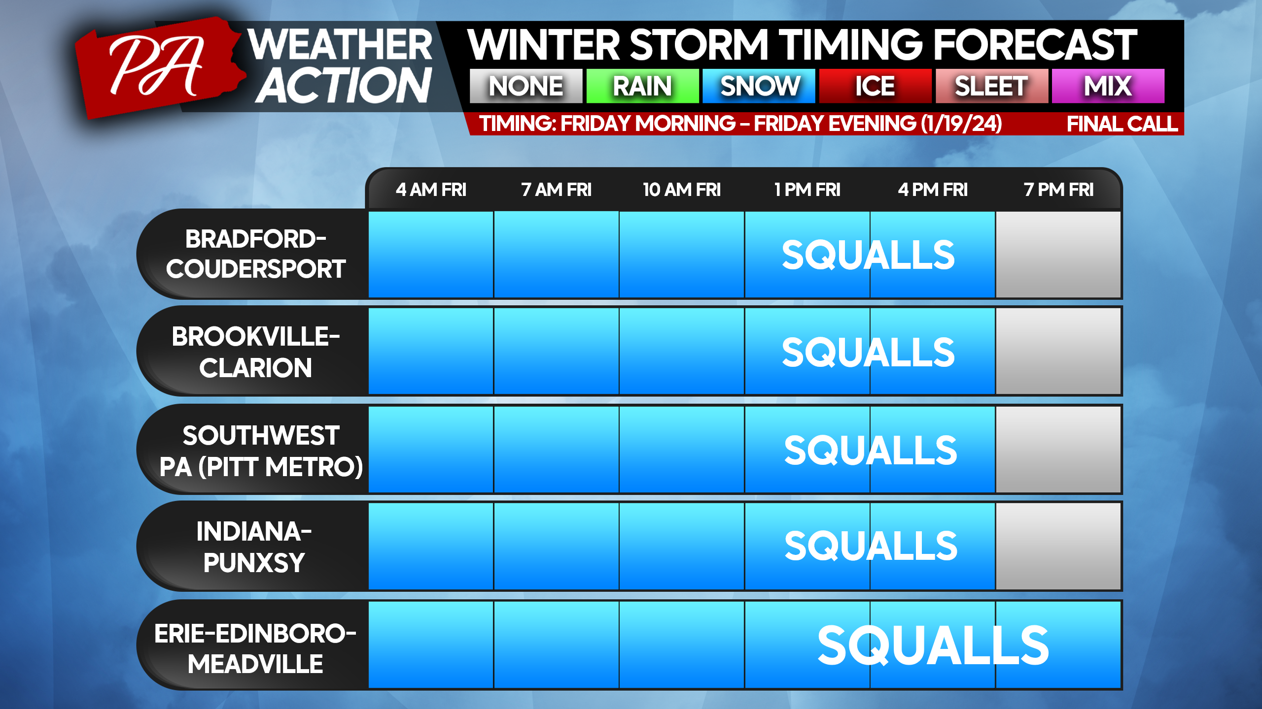
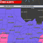
It has been quite the week of winter weather, with a rare snow cover across the entirety of the state the last several days. There is more to come before we warm up next week. This storm will be very similar to the previous event earlier this week. However, snowfall rates will be slightly higher especially in Southeast PA, above 0.5″/hr for several hours Friday morning and early afternoon. This snow will once again create a mess on the roadways, and many districts especially in Eastern & Central PA have already cancelled school for Friday.
Those who must travel to work will have a very tough time Friday in many areas, and we advise bringing a shovel and a snow brush/ice scraper tool with you. Also note that this event will end in the form of scattered snow squalls in many areas, so while precipitation tapers off to flurries, you may see a squall move through in the meantime and drop another half inch.
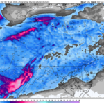
FINAL CALL TIMING CHARTS
FINAL CALL SNOWFALL FORECAST FOR FRIDAY’S SNOWSTORM
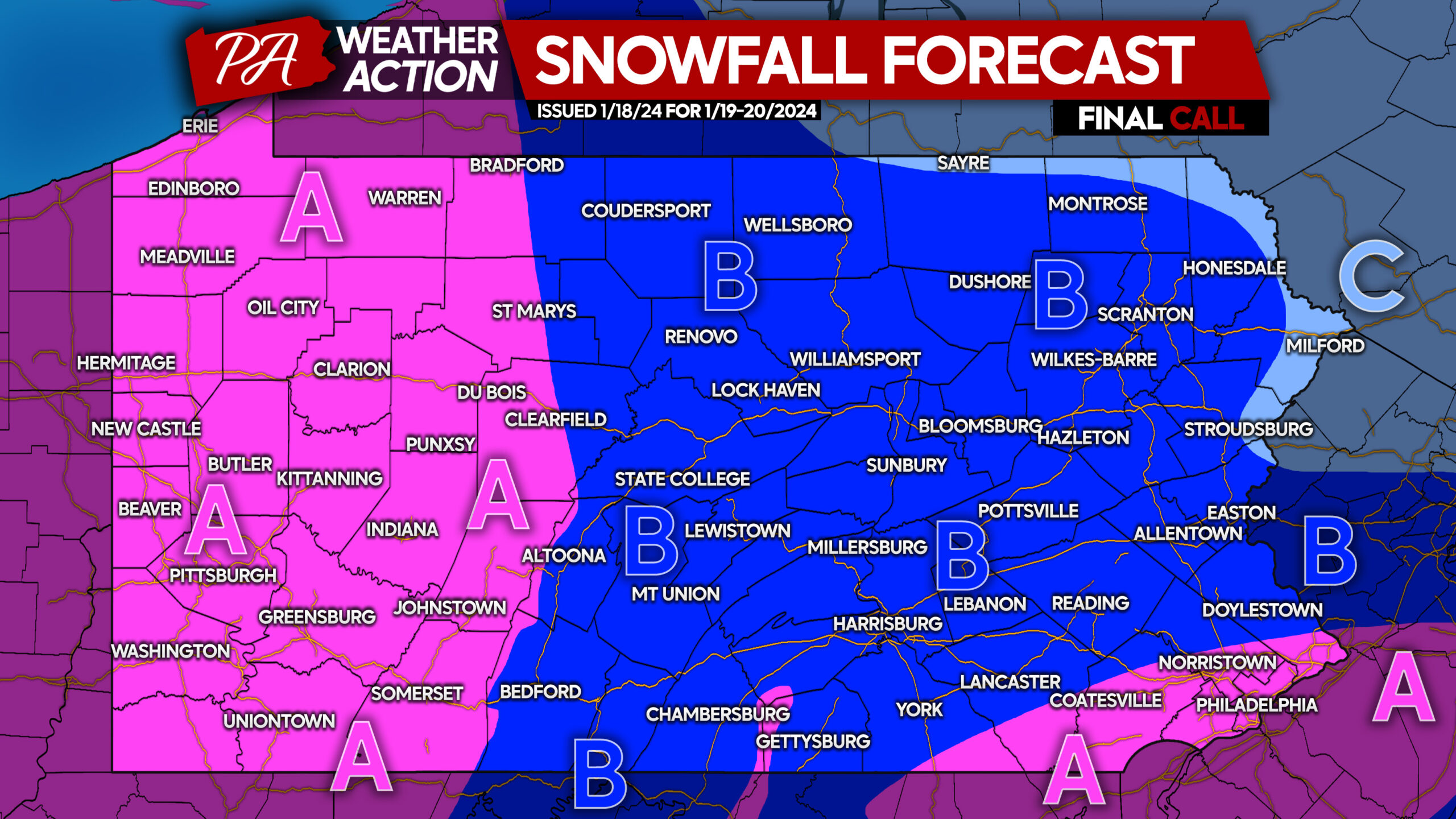
Area A: Snowfall accumulation of 4 – 6” expected. Snow-covered roadways are expected mid-Friday morning through Friday evening, and travel will be treacherous during those times.
Area B: Snowfall accumulation of 2 – 4” expected. Snow-covered roadways are expected mid-Friday morning through the evening, with treacherous travel especially as snow is falling.
Area C: Snowfall accumulation of 1 – 2” expected. Roads may become snow-covered if untreated, leading to slippery travel late Friday morning into early Friday evening.
Be sure to share this most up to date information with friends and family below!
We have had millions of Pennsylvanians utilize our forecasts this month, which we are very appreciative of! The majority of you reading this do not follow us though, and if you use Facebook, that’s where we post our updates immediately! Please consider following us on Facebook below!
You must be logged in to post a comment.