Many of us are waking up this morning to snow falling and accumulating thanks to our first winter storm of the season! Below is a look at the latest radar:
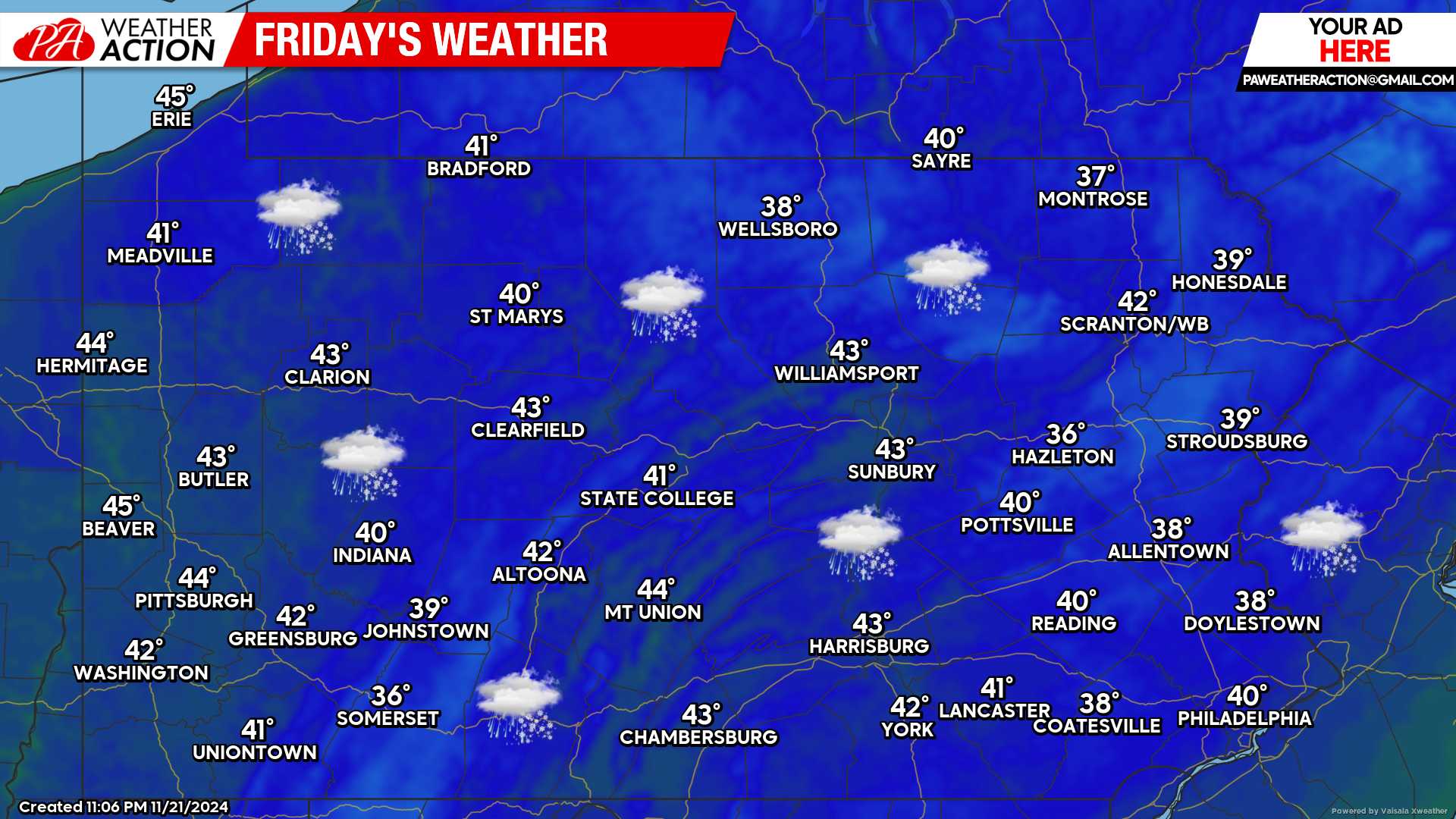
Today’s Weather Forecast: 2/10
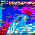
The snow will continue to expand across the state as we progress into the later morning hours. By the afternoon, some of the snow will mix with and change to rain across our lower elevations. For those that live in higher terrain, significant snowfall accumulations are expected. (See our latest forecast at the bottom of this article).
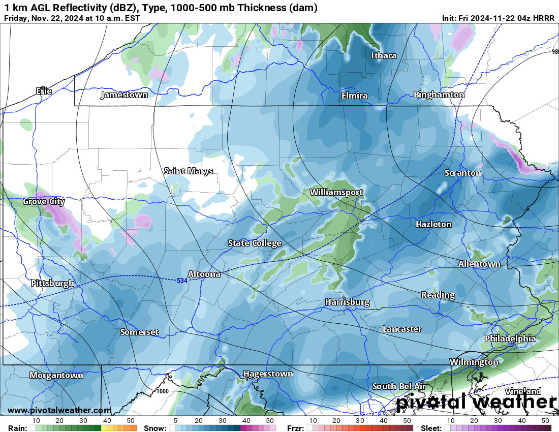
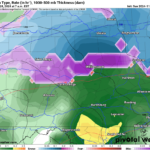
HRRR Future Radar Valid for 10:00 AM:
Taking a look at the latest HRRR future radar valid for 10:00 AM this morning, it illustrates the snow expanding all the way down to the PA/MD border. Note the greens that are showing up, we do expect that lower elevations will mix with and change to rain as we approach lunchtime. Once again, accumulations are strongly elevation dependent.
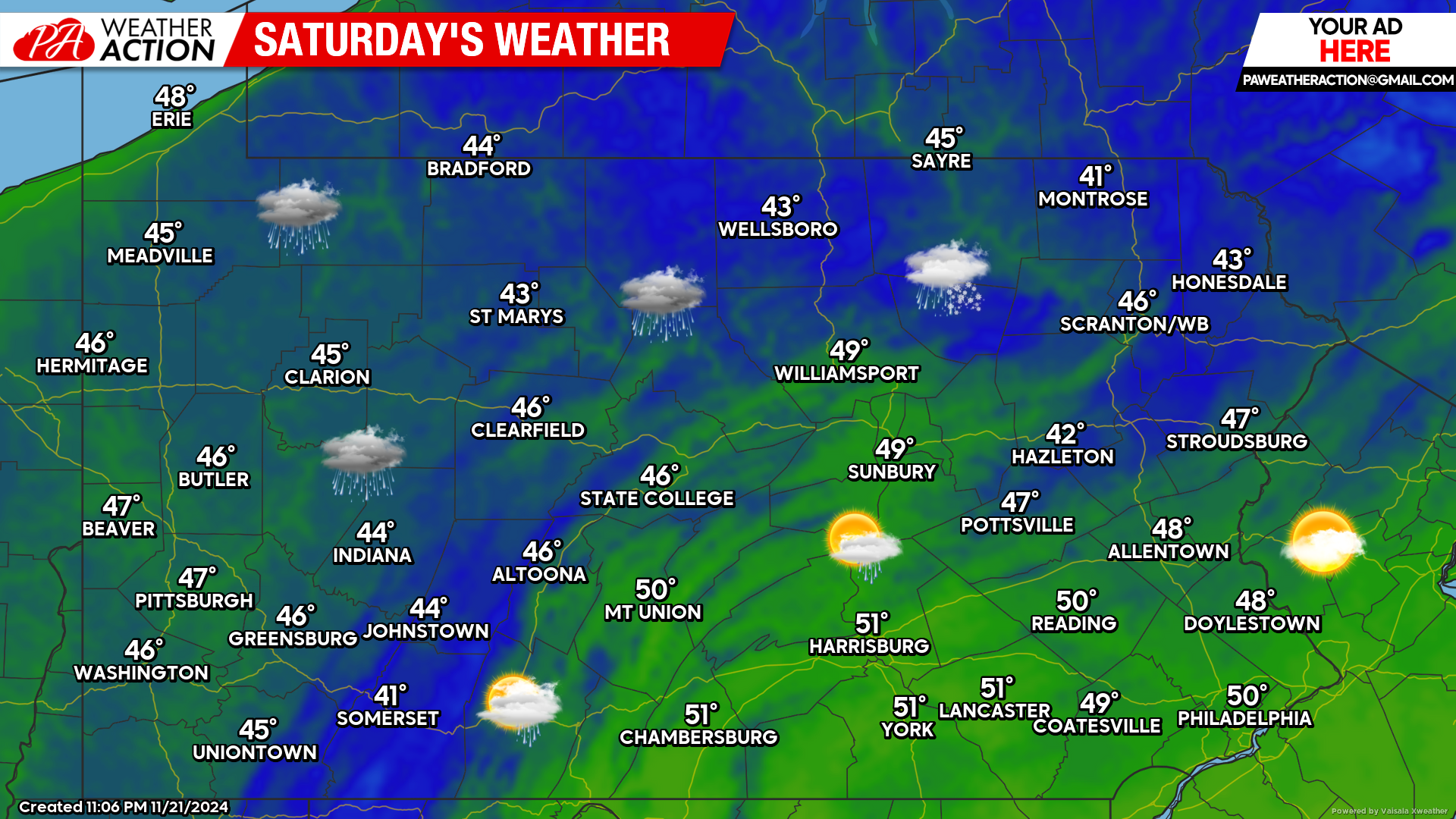
Saturday’s Weather Forecast: 7/10
Leftover showers and wet snowflakes are possible Saturday, otherwise a mix of clouds and sunshine is likely with temperatures in the 40s and 50s across the state.
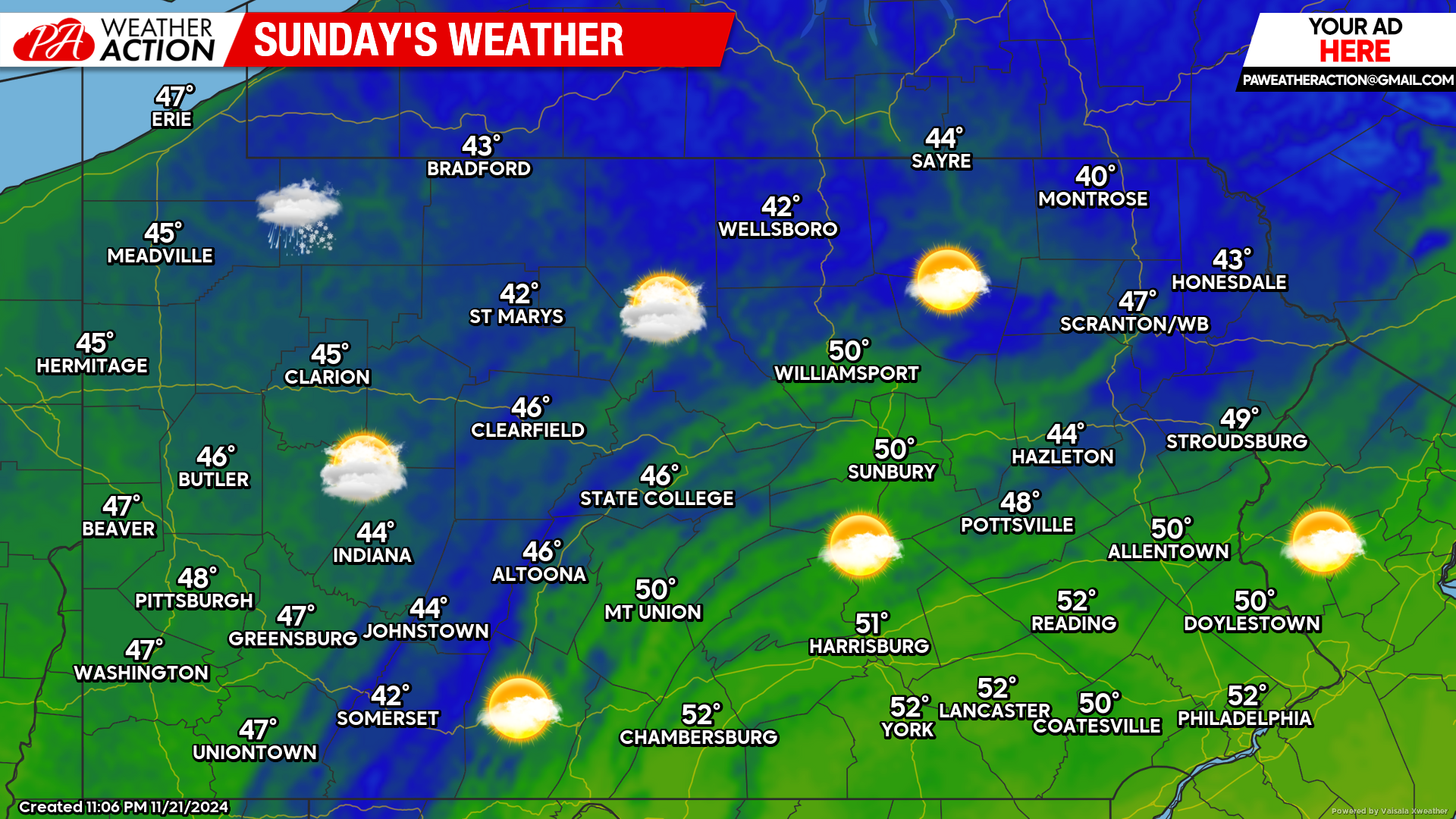
Sunday’s Weather Forecast: 8/10
Sunday’s weather will feature a mix of clouds and sunshine with temperatures in the 40s and 50s state-wide.
For those that missed our final call forecast from yesterday evening, please click on the link below as it still stands. Most accumulations will occur between now and lunchtime. Stay safe out there!
Final Call Snowfall Forecast for Thursday Evening – Friday’s Early Winter Storm in PA

You must be logged in to post a comment.