
Wow has it been dry lately! The high pressure responsible for the dry stretch is finally exiting the area, and rain chances are finally in sight.
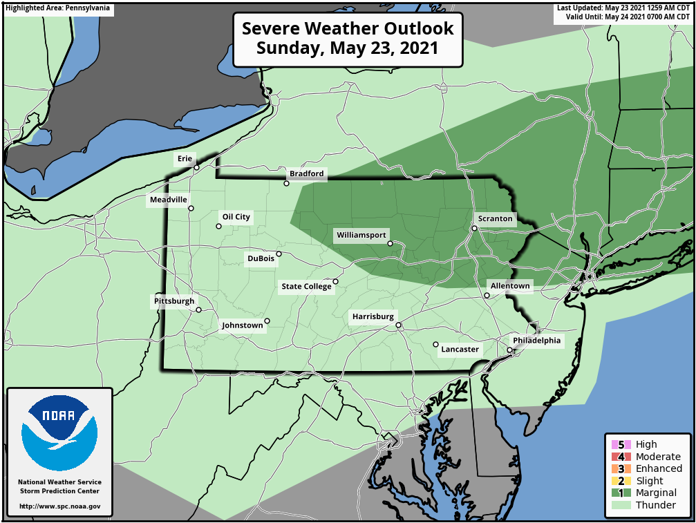
We are not expecting much out of today’s marginal risk besides a few isolated storms in northeast Pennsylvania this afternoon and evening. Only a low wind risk exists with today’s threat. Below is a look at the SPC Outlook for today.
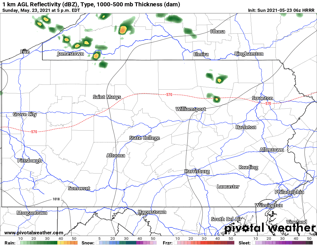
The main attraction is the slug of rainfall that is expected across much of the western half of the state on Monday. Locally heavy rain and a few thunderstorms are expected to move through that area. Here is future radar for Sunday afternoon through Monday afternoon.
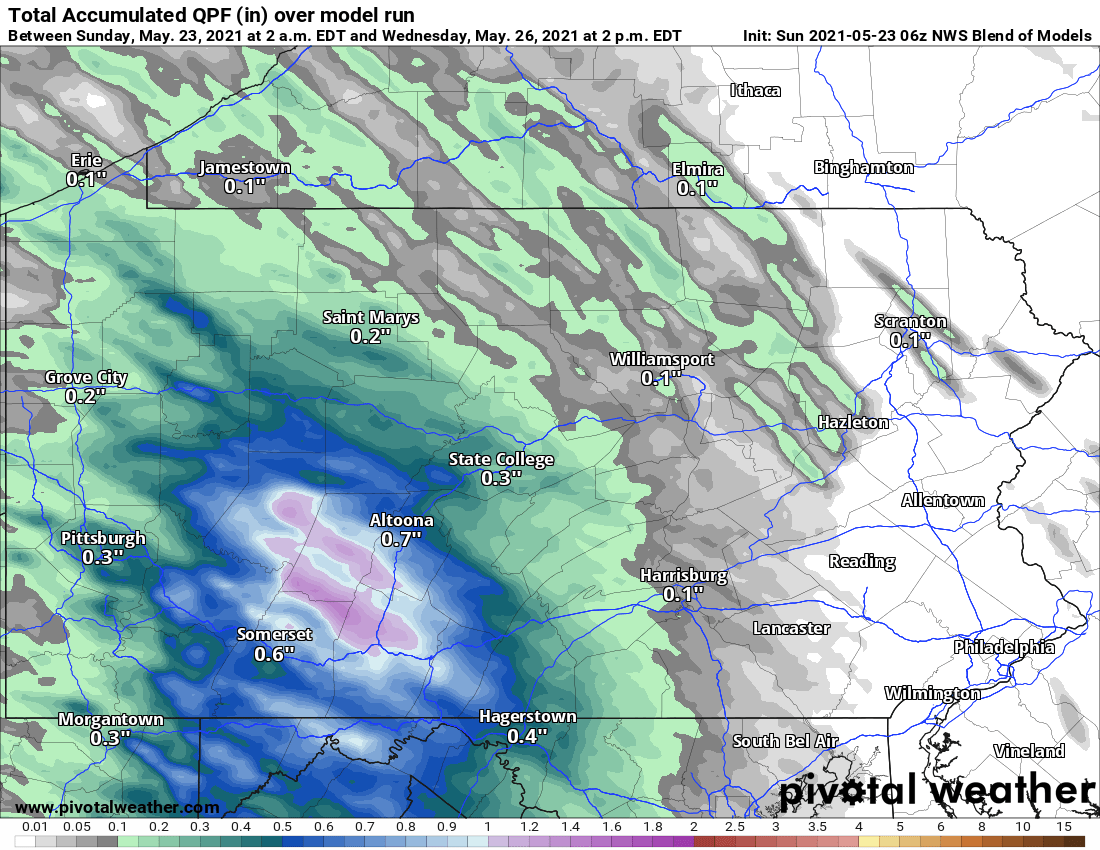
Rainfall amounts of up to one inch are anticipated in the Laurel Highlands, with lesser amounts likely in surrounding areas. Below is the rainfall outlook for the next few days.
Monday will also be cooler, but temperatures will heat back up as we head into midweek. Finally, a cold front will swing through Thursday, bringing temperatures back down to average. Have a great Sunday!

You must be logged in to post a comment.