Posted inNortheast PA - Mike Pontrelli
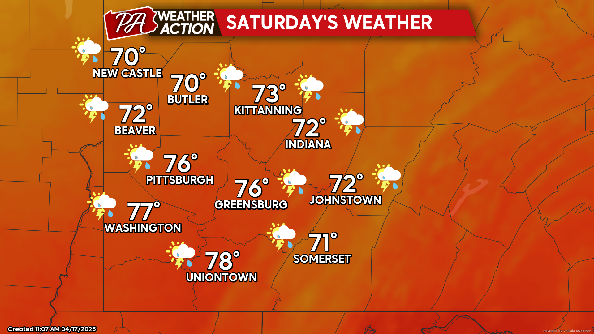
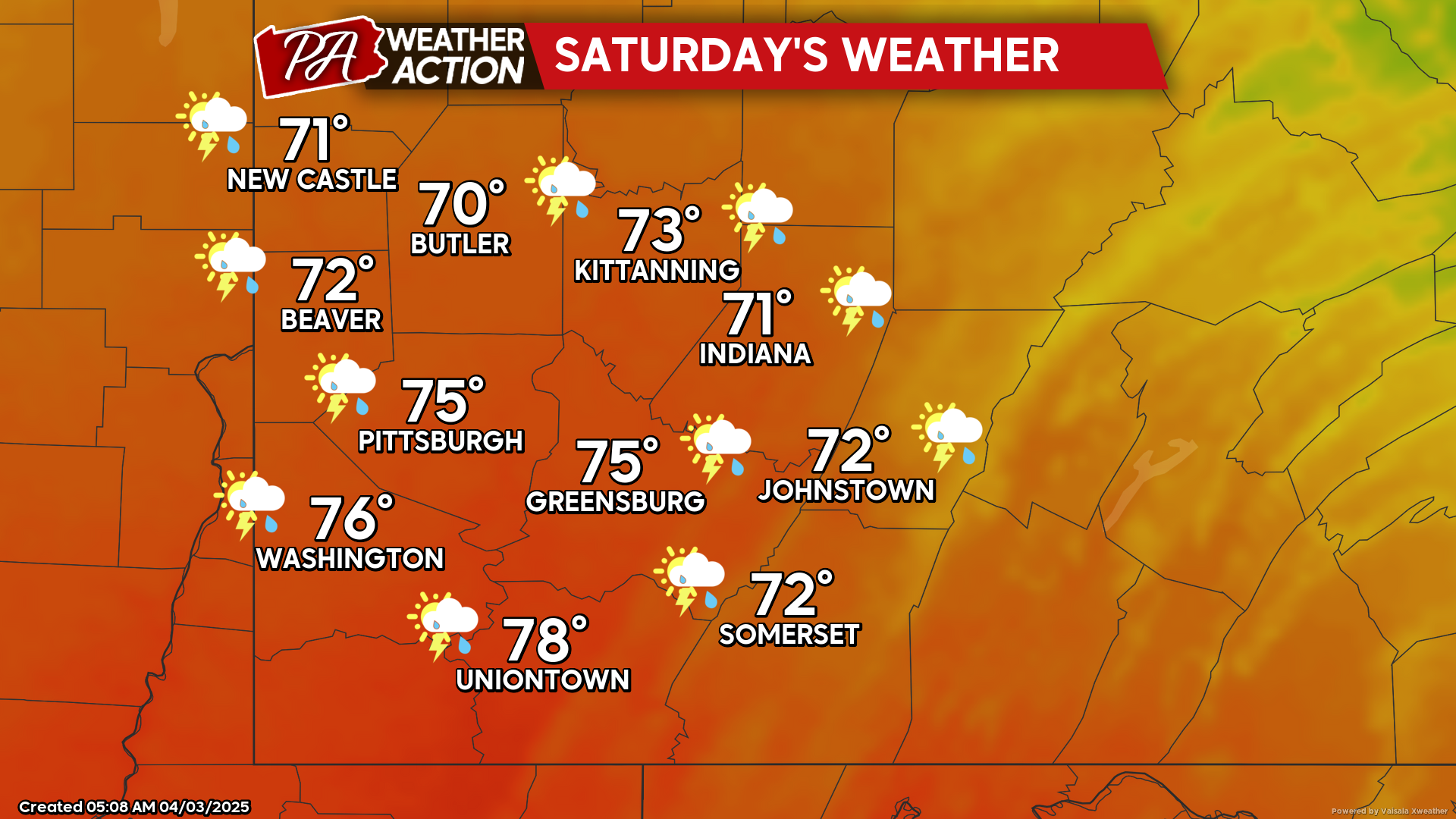
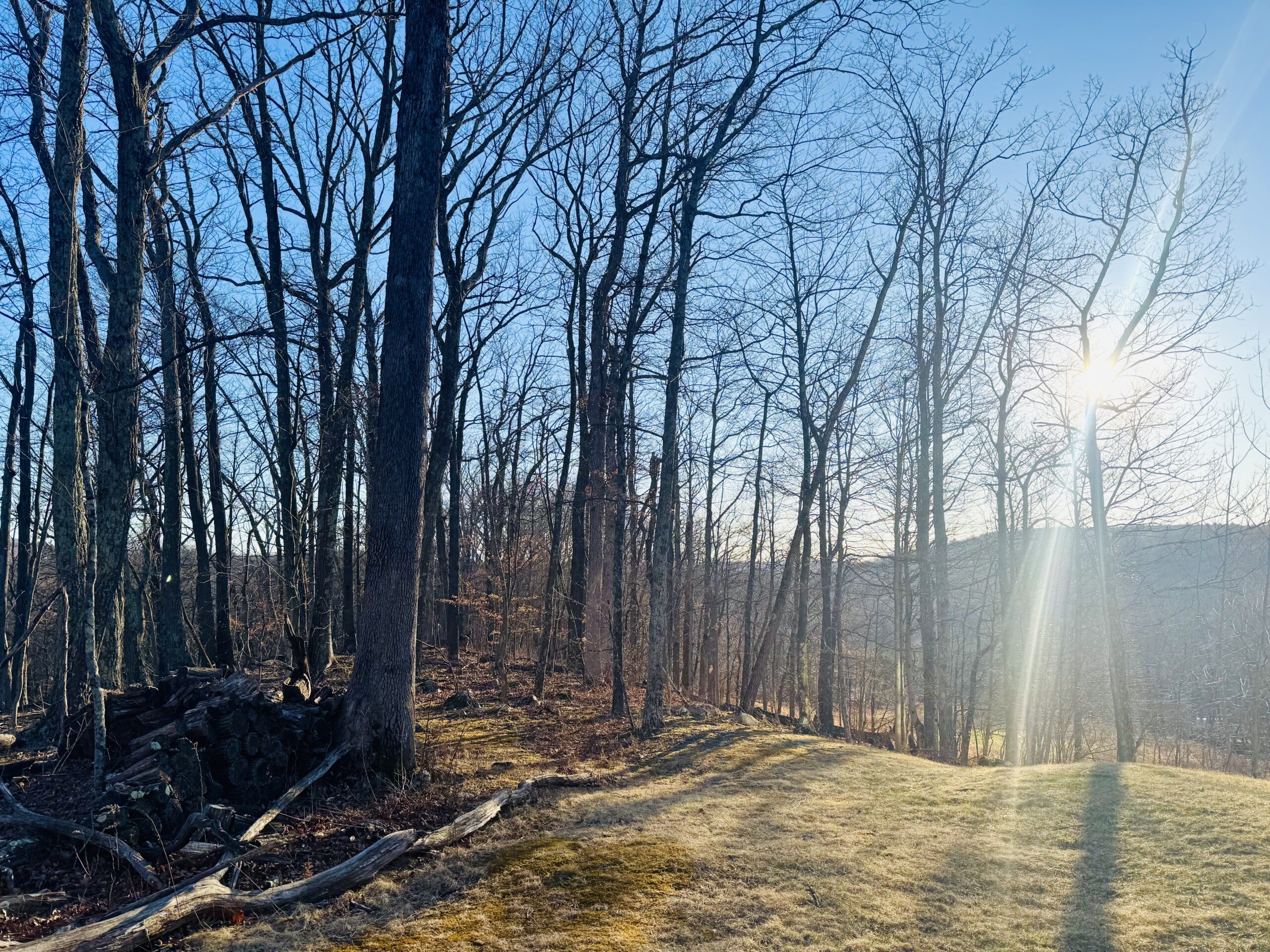
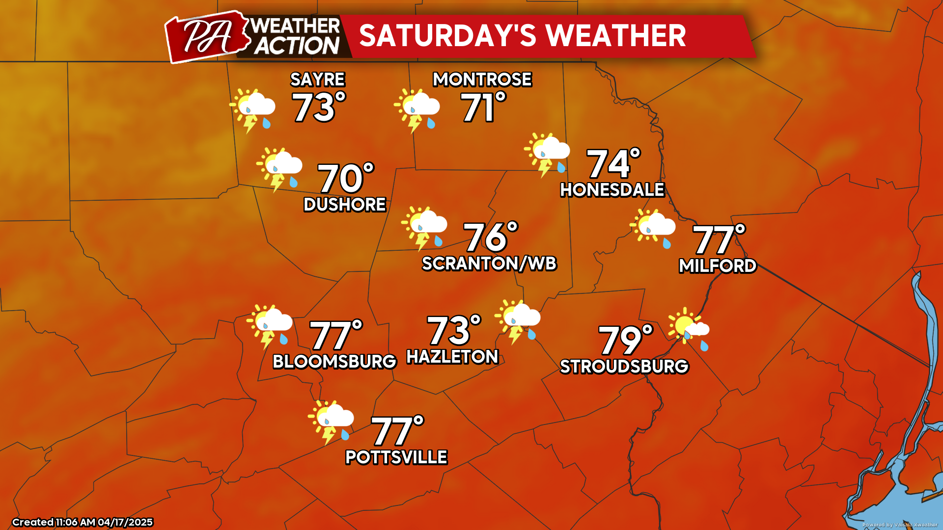
Warm Easter weekend with chance of a thunderstorm Saturday
High pressure provided blazing sunshine today, although the gusty winds continued. That high pressure will provide clear skies and more-calm wind tonight, which will allow…