
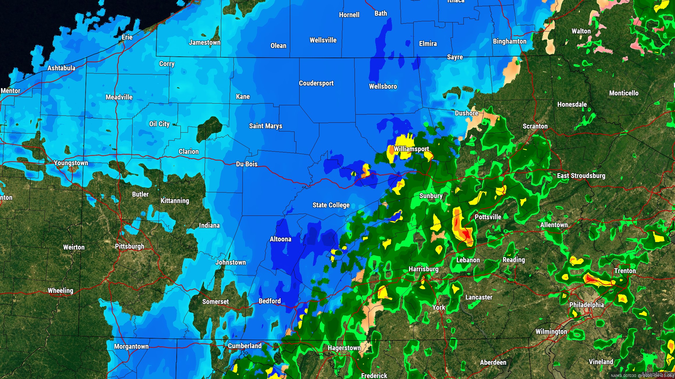
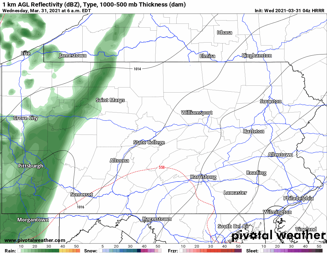
Rain showers will push into western PA by mid-morning, central PA by late morning, and eastern PA by early this afternoon. On and off rain showers will continue through the afternoon, with even a rumble of thunder possible in southern PA. A cold front will then push through late this evening, and a weak low pressure system will develop along that front and spread precipitation overhead tonight into early Thursday morning. Below is the HRRR radar simulation for today.
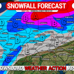
As temperatures rapidly cool, some of that precipitation will fall as moderate snow in much of northern PA. Generally light accumulations are likely for most, but the northern tier mountains may pick up some moderate accumulations. No, this isn’t an April Fools’ joke! View our latest article on that snow here >>> First Call Snowfall Forecast for Thursday’s Spring Snow
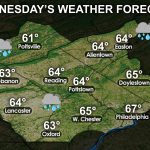
Temperatures behind the front will be very cold, with highs in the 30s and 40s on Thursday and Friday and wind chills in the teens Friday morning. We will begin to warm-up Saturday, before comfortable temperatures return Sunday. The entire weekend will likely be dry. Select your regional three day forecast below.


You must be logged in to post a comment.