While this will be a quick storm, it will pack a major punch especially in Southern and Eastern PA, where snowfall rates will likely exceed one inch an hour at times. Visibility at times will be under a quarter-mile.
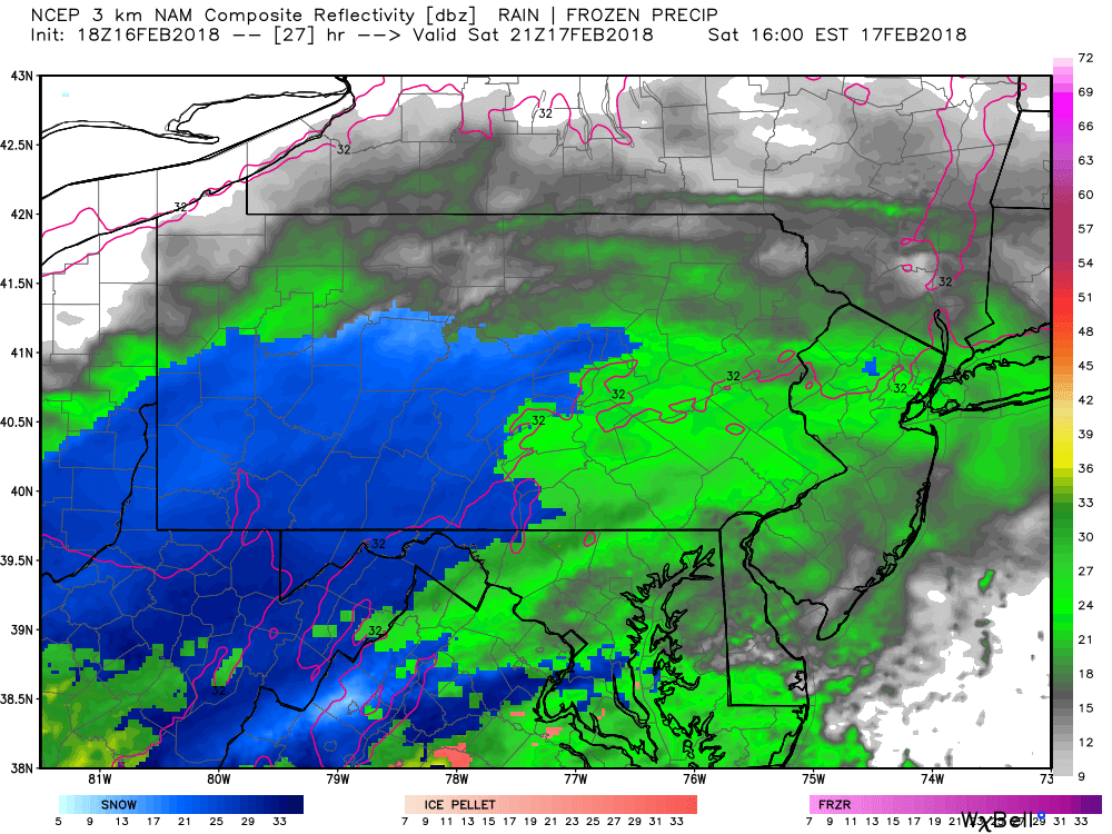
Here is the Hi-Res NAM for 4 PM Saturday Afternoon:
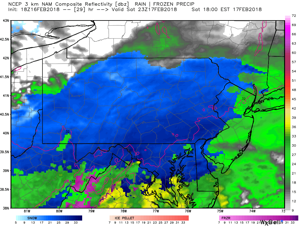
Snow will move in from southwest to northeast beginning Saturday Afternoon. Temperatures will be above freezing ahead of storm in Southeast PA. However, evaportative cooling caused by heavy precipitation will drop temperatures below 32 as heavy snow moves into the area. Below is the simulated radar for 6 PM:
At this point much of the state will be seeing snowfall. As mentioned, the highest rates will be across Southcentral PA to Southeast PA (Franklin County to Bucks County and areas in between). Below is a map with potential accumulations just between 6 and 7 PM.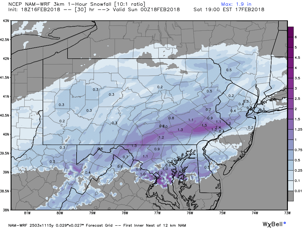
By 8 PM, snow willl be heaviest in Southeast PA between Norristown and Allentown. There is the possibility that Philadelphia mixed with sleet at times. Mainly moderate snow by this time throughout the Lower Susquehanna Valley with light snow in much of Western and Northern PA:
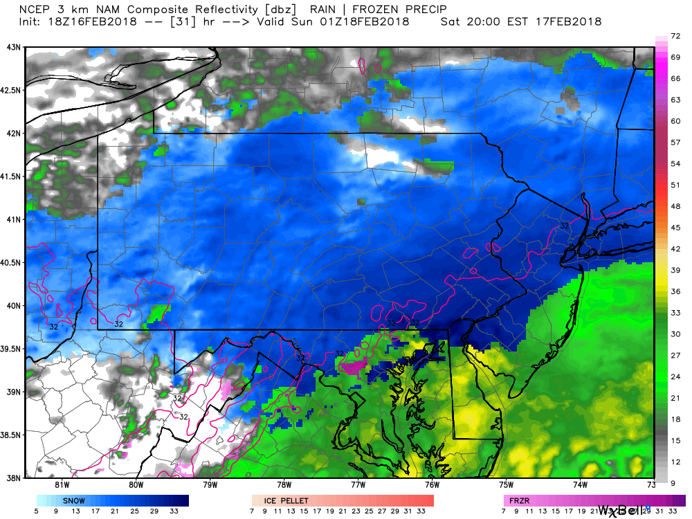
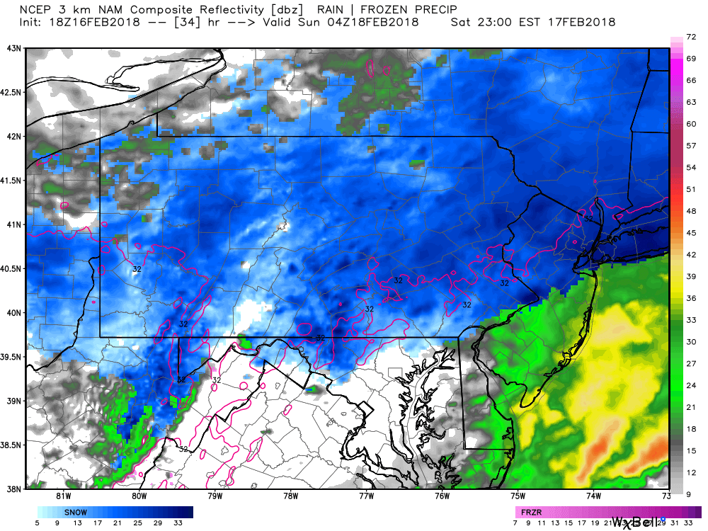
Snow will begin to lift out of Western and Central PA around midnight. Moderate snow will persist in the Lehigh Valley and up into the Poconos. Below is the Hi-Res NAM for 11 PM:
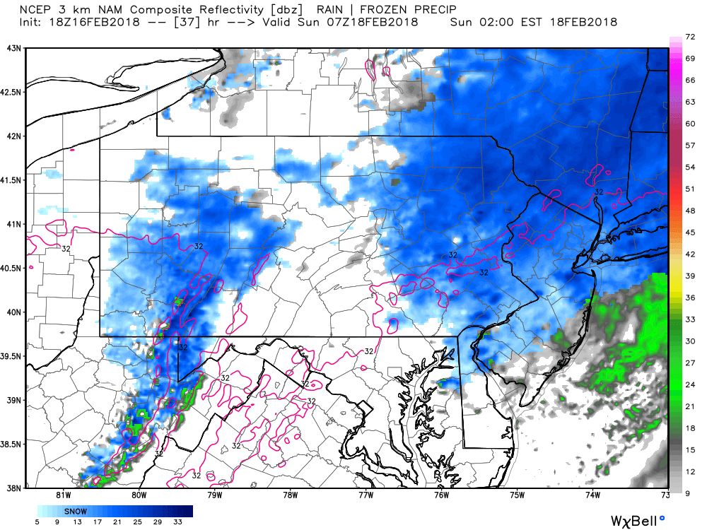
By 2 AM Sunday, snow will exit Eastern PA. A few leftover snow showers possible in the Laurel Highlands.
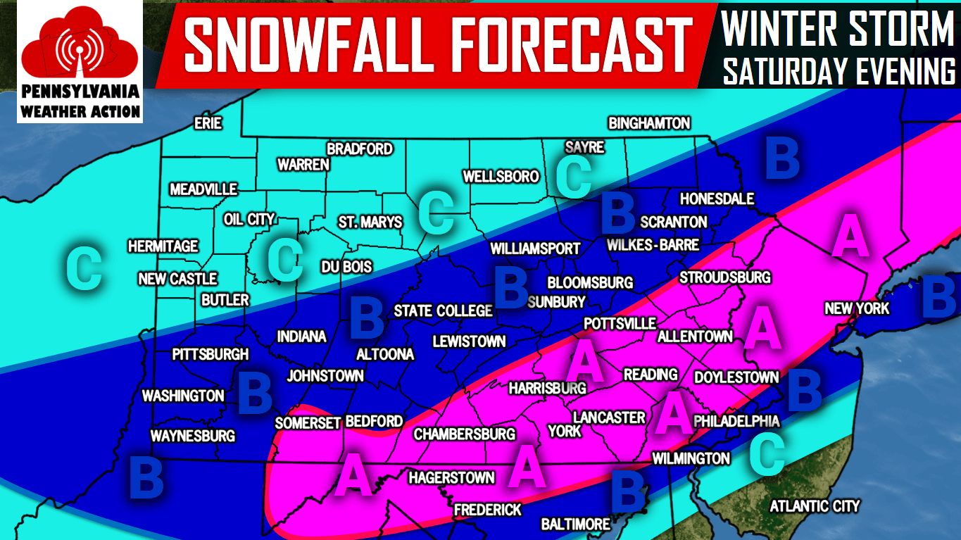
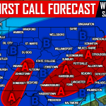
SECOND CALL SNOW FORECAST FOR SATURDAY EVENING
Area A: 2-5″ of snow is expected. Hazardous travel likely Saturday Evening due to very heavy snow.
Area B: 1-2″ of snow is expected, with isolated spots of 3″ above 1500′ elevation. Difficult travel expected Saturday Evening.
Area C: <1″ of snow is expected. untreated roads will be slick at times Saturday Evening.
For updates on the storm, like us on Facebook by clicking here>>>Pennsylvania Weather Action’s Facebook Page You can also download our free app for interactive radar, your latest forecast, alerts, and more by tapping here >>> PA Weather App
Share this important update with your family and friends using the button below!

You must be logged in to post a comment.