

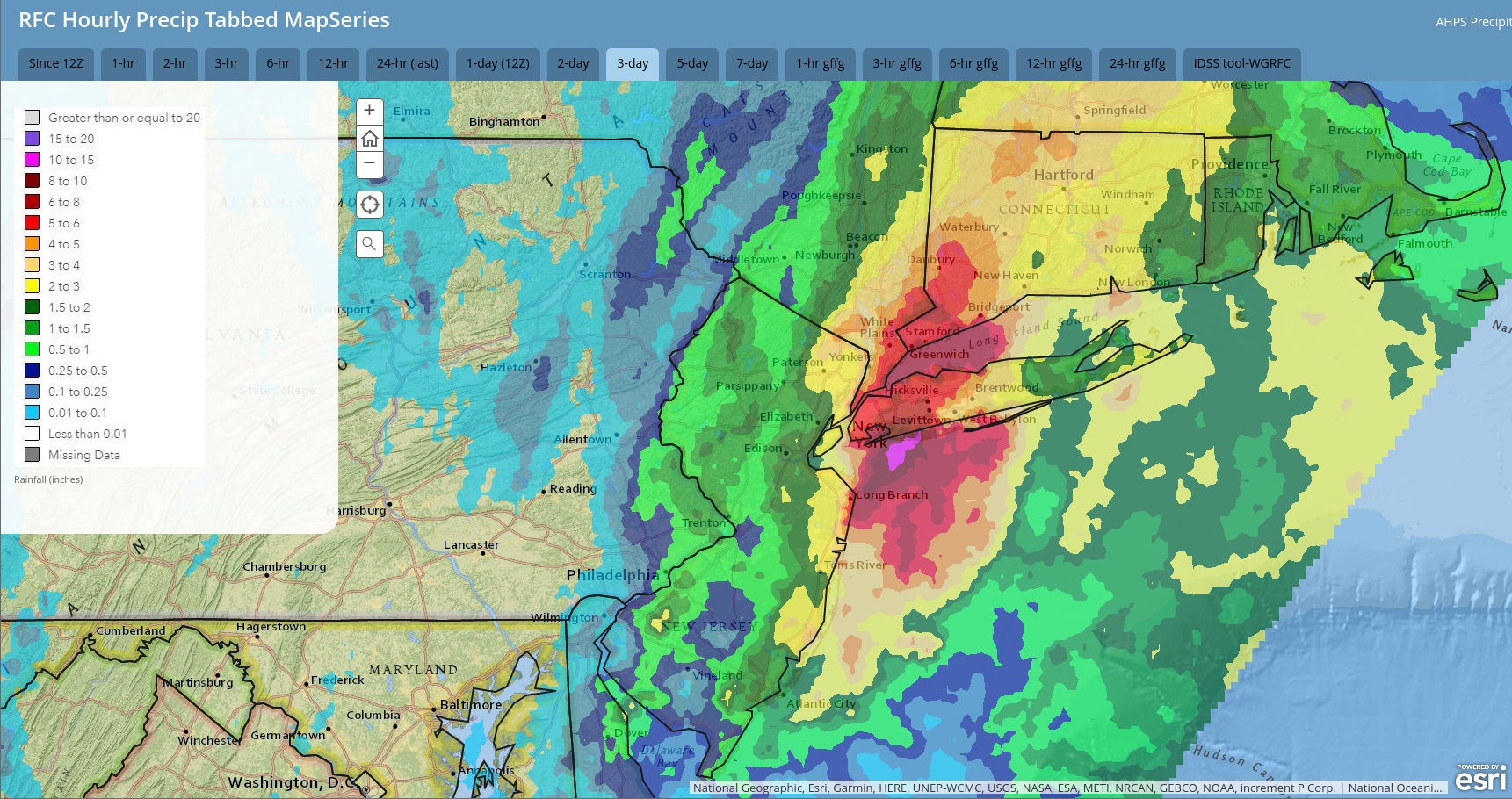
Thankfully for us, and unfortunately for others, the focus of the epic flooding from last weekend’s system stayed to our east, as illustrated by this radar-derived precipitation map for Sept 28-30:
This week will feature spectacular October weather with above-normal temperatures and ample sunshine. However, an approaching cold front will bring increasing clouds and some showers late Friday into Saturday and herald an upper-level trough that will deliver a period of colder-than-normal temperatures this weekend into next week… but for now… enjoy this week’s weather! The leaves are rapidly changing color and peak foliage is not too far in our future!
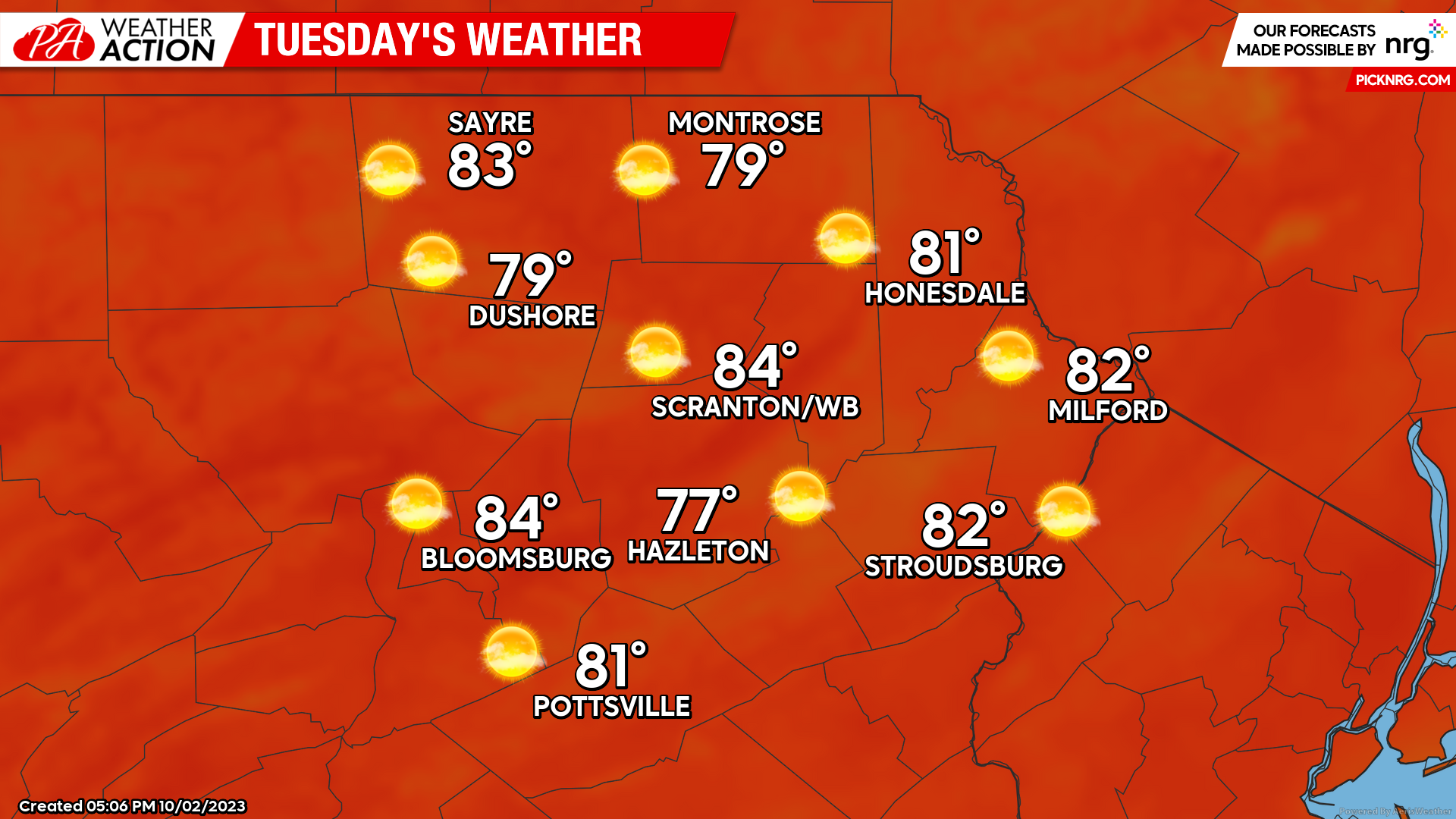
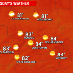
TUESDAY:
Tuesday will feature another day of spectacular sunshine along with warmth and humidity reminiscent of late summer. Enjoy!
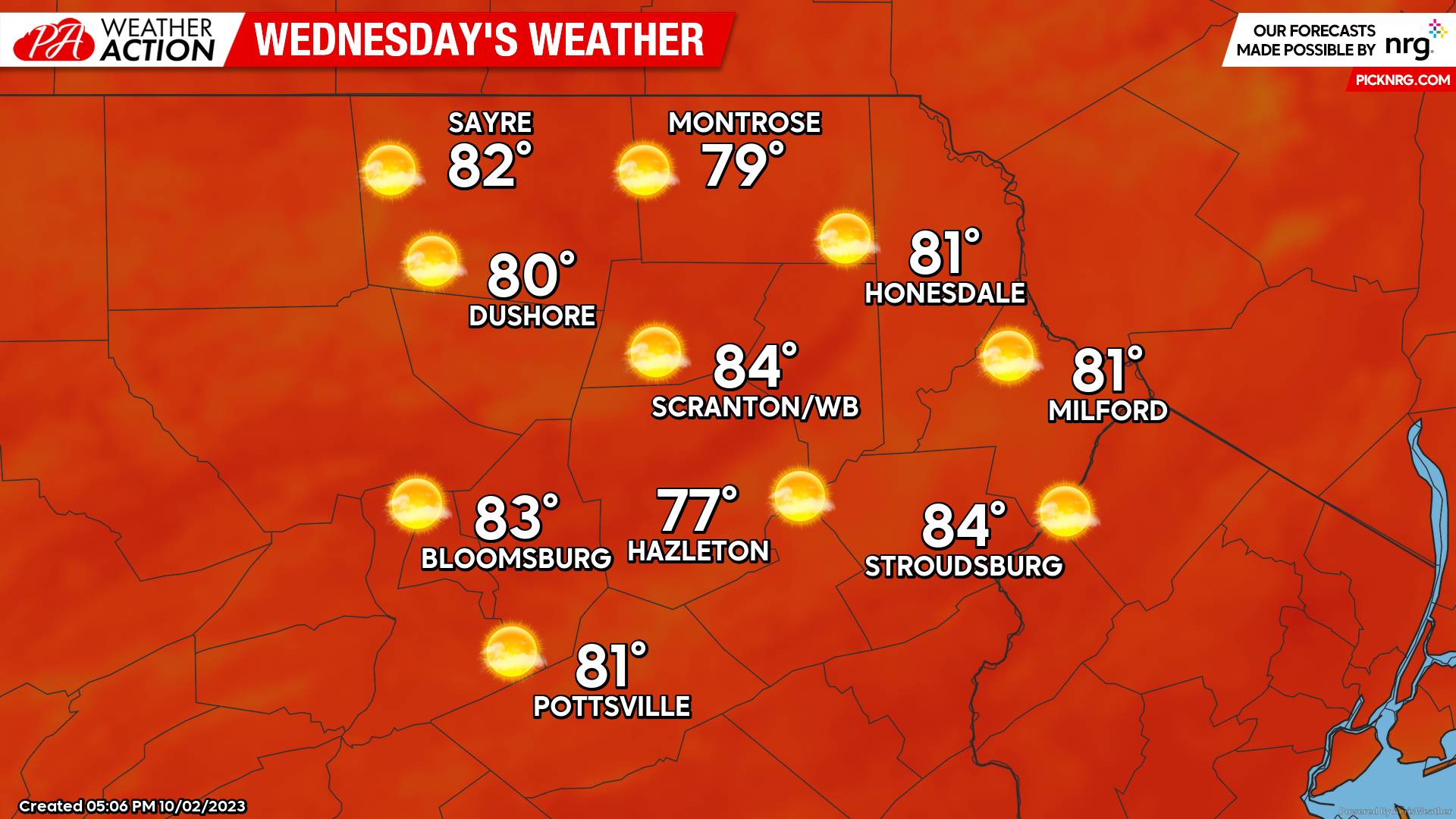
WEDNESDAY:
Wednesday will feature yet ANOTHER day of spectacular sunshine and warmth reminiscent of late-summer! ENJOY!
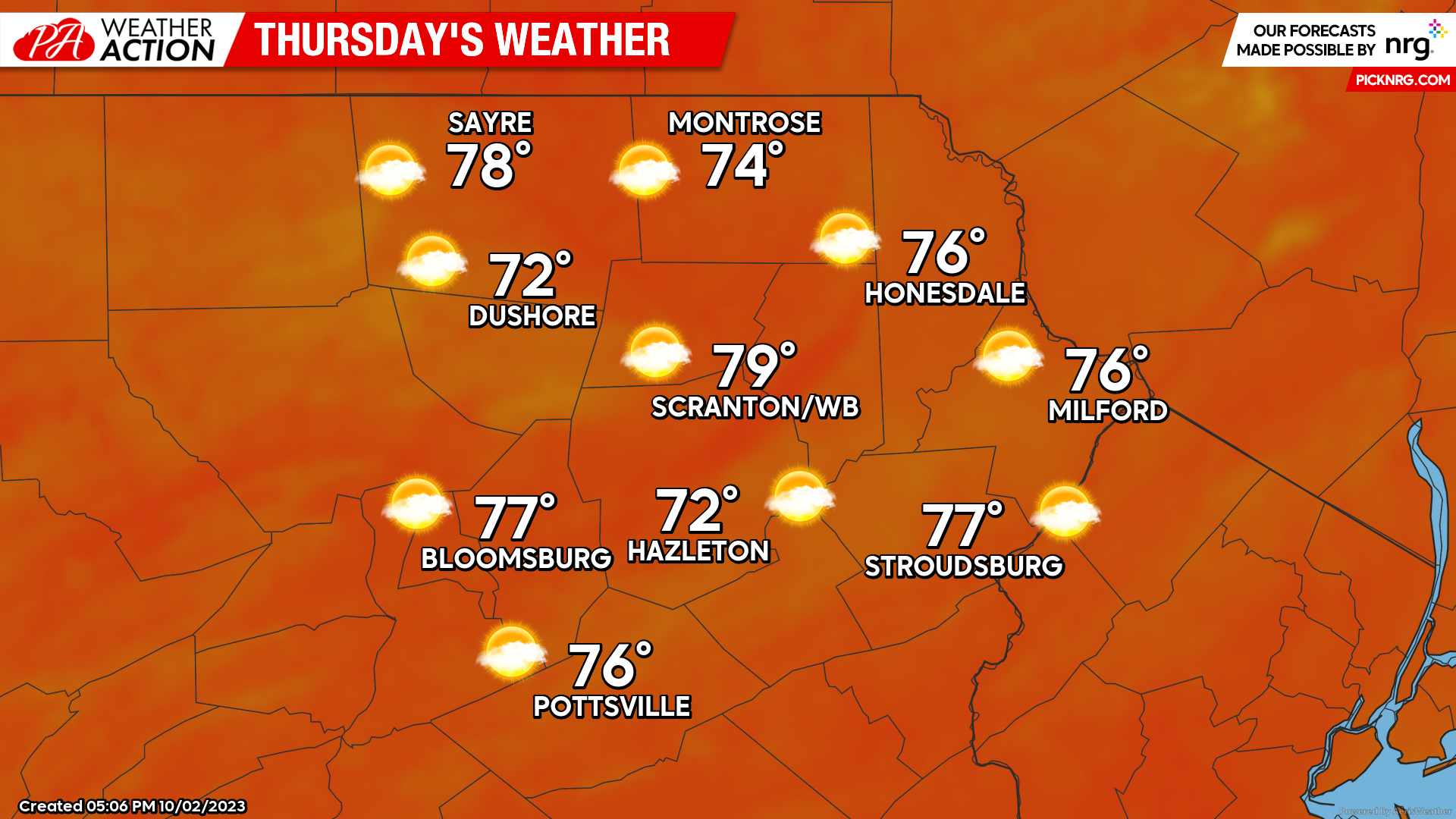
THURSDAY:
I doubt many people are upset over the repetitive nature of this week’s forecast, as Thursday will also feature warmer-than-normal temperatures, albeit not quite as warm as Tuesday and Wednesday. Again, look for a pattern shift toward colder weather this weekend into next week….

You must be logged in to post a comment.