
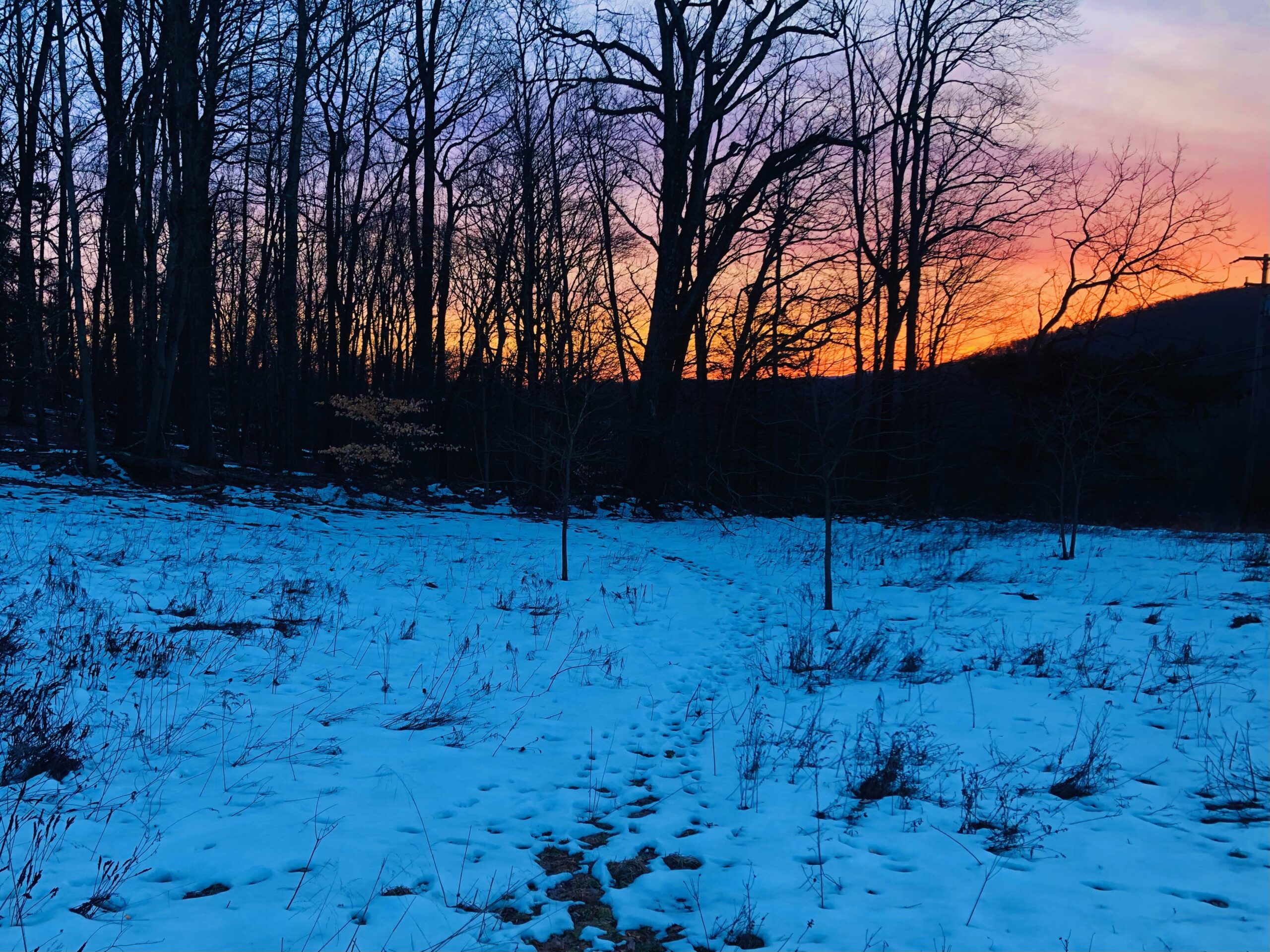
After a brief tease of Winter over the weekend with moonlit snowscapes cascading into the lower teens overnight, Spring teased us today as sunshine and south wind drove temperatures into the 50s for all except for the highest elevations. Even with today’s warmth, the more-fortunate areas held on to their snowpack.
TUESDAY
A balmy southwest wind will increase, gusting to 20mph and driving temperatures once again well into the 50s. Clouds will increase, with showers arriving during the afternoon hours. The balmy wind will increase, with gusts over 30 mph Tuesday night, especially across the higher elevations. These winds will maintain temperatures well into the 40s to near 50 overnight, obliterating any leftover snowpack. Periods of showers will also continue.

WEDNESDAY
Strong southwest wind gusting over 35 mph will again drive temperatures well into the 50s to near 60, along with periods of showers and downpours. A strong cold front will push west to east across the area during the late afternoon, accompanied by downpours (and possibly thunder!). Temperatures will rapidly plunge into the 30s behind the frontal passage, ending precipitation as a brief period of snow 5-8pm, which could deposit a quick coating to an inch in the higher elevations. The wind will shift to the west and gust over 40 mph, blasting temperatures down through the 20s across the region, possibly even into the upper teens in the highest elevations.

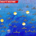
THURSDAY
Thursday will be partly cloudy and windy with gusts over 20 mph and temperatures struggling to get out of the 20s in the higher elevations, and only the mid-upper 30s in the lower elevations.


You must be logged in to post a comment.