
Greetings!
Last weekend’s system delivered 1-2″ rain to most of northeastern Pennsylvania, with the exception of southeastern Monroe and southeastern Pike counties which had less than a half inch.
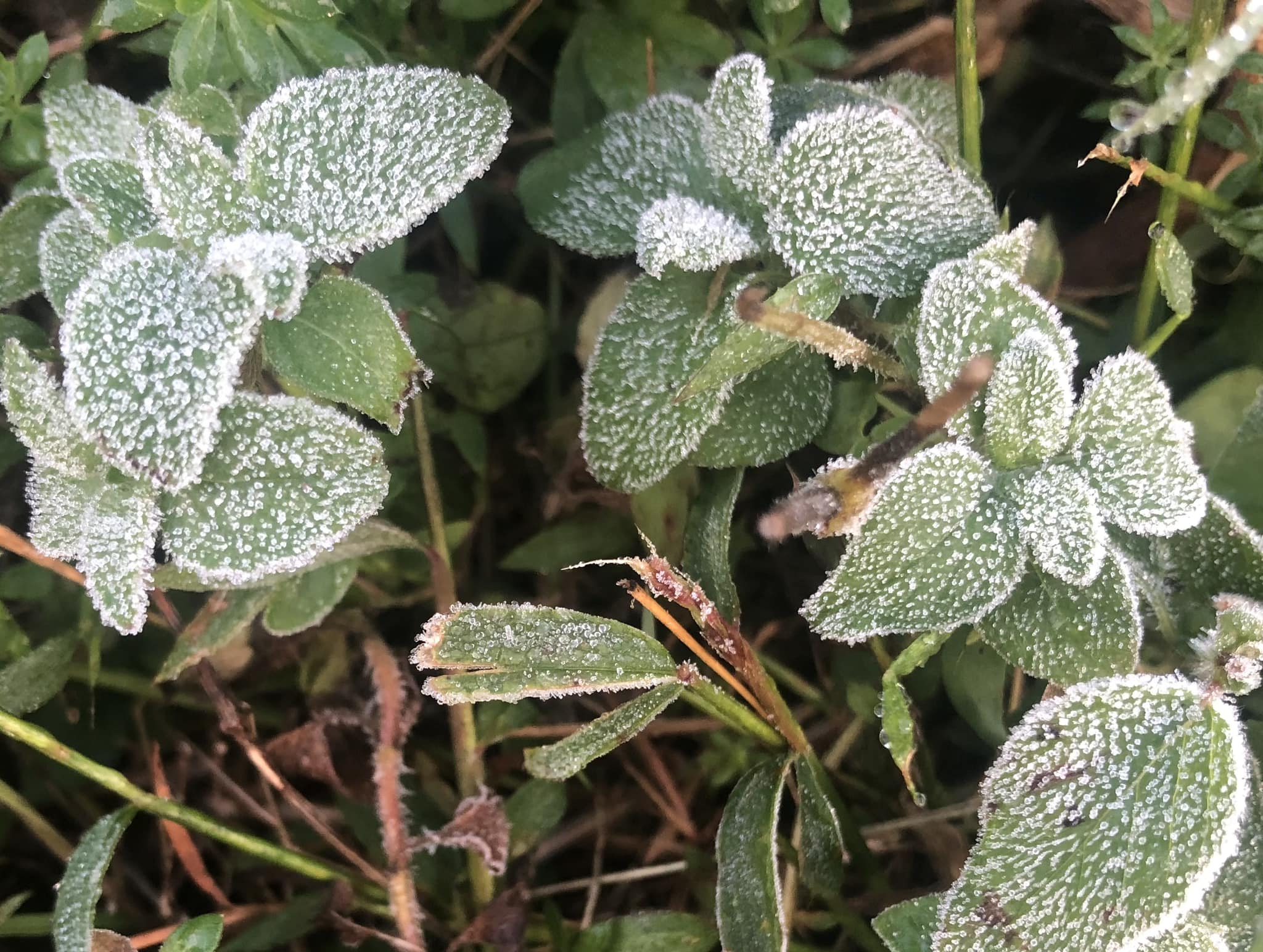
Meanwhile an upper-level low centered over the Quebec-Ontario border generated the first lake effect event of the season in northwestern Pennsylvania and western New York Sunday into Monday, in the form of soaking rain showers. It also delivered below-normal temperatures and resulted in the first frost of the season for many people in northeastern Pennsylvania Monday morning!
That system will remain nearly stationary over southeastern Canada through Wednesday, and its circulation will provide dry conditions and slowly moderating temperatures for our area into the middle of the week.
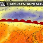
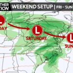
Another storm system will eject from the Rockies this week and move into the Great Lakes region by the end of the week, pulling a frontal zone northward toward our area Thursday, and ultimately generating a coastal low that will provide us with a cool, damp weekend.
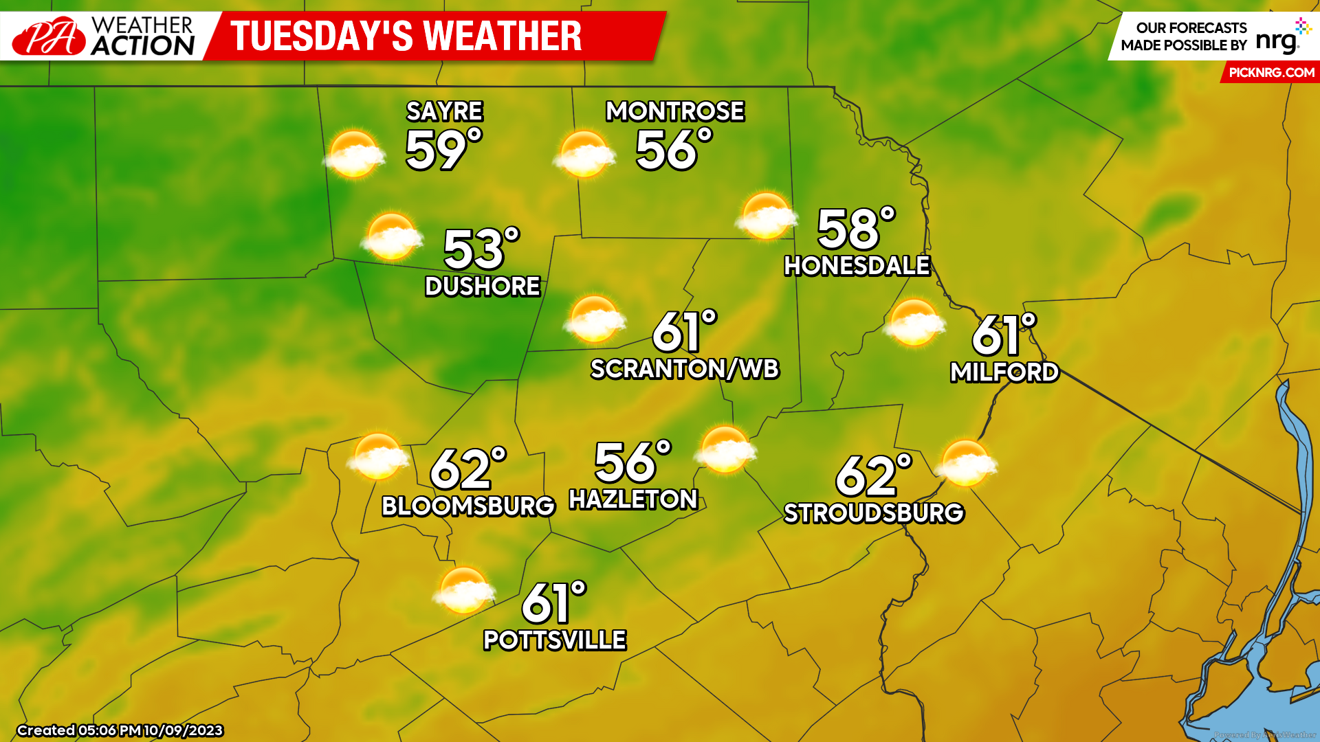
TUESDAY
The aforementioned system in Canada will induce breezy conditions from the southwest and partly cloudy skies, along with seasonal temperatures.
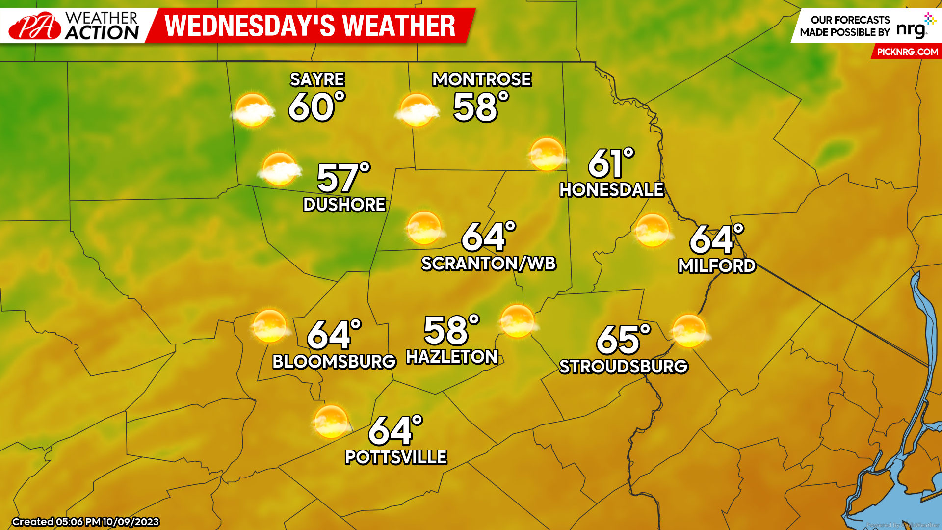
WEDNESDAY
Wednesday’s weather will be a sunnier, less-breezy, and slightly-warmer version of Tuesday’s weather. Enjoy!
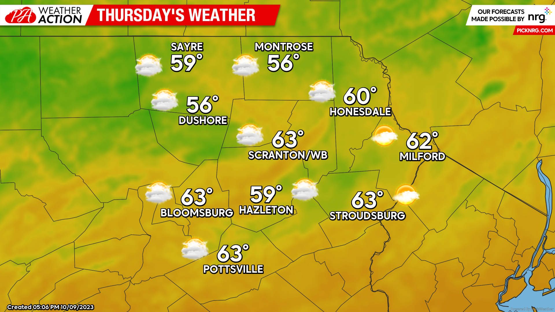
THURSDAY:
That storm system approaching from the Midwest will pull a warm front northward toward our area, resulting in increasing clouds. There will also be the slight chance of patchy light showers associated with that frontal zone, but nothing significant.
You must be logged in to post a comment.