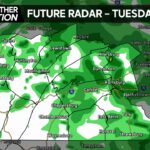
A consistent pattern of cooler temperatures and cloudy skies is expected for the beginning of the week. A lingering chance for showers is to be expected, but no significant rainfall is expected.
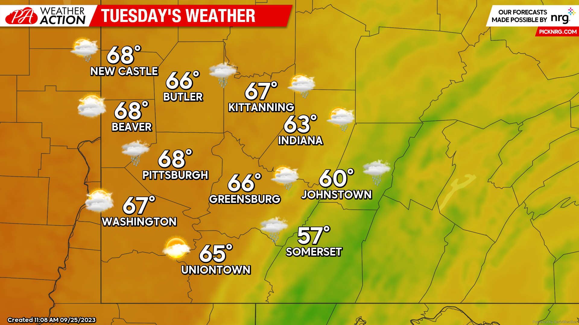
Tuesday
Conditions very similar to today can be expected tomorrow. High temperatures will range between the mid to high 60s, with areas to the east barely making it to the 60s. Conditions will be mostly cloudy with the possibility of drizzle or light showers throughout the day. Evening temperatures will range from the mid to low 50s with a slight chance for showers continuing.

Wednesday
Partly sunny conditions with highs around 70 degrees in the Western portions of the region and cloudier skies with highs in the mid-low 60s are expected for the Eastern portions of the region are expected Wednesday. A slight chance for light showers cannot be ruled out for the evening hours, low temperatures will range from the mid to low 50s throughout the region however could be a few degrees cooler in the higher elevations to the east.

Thursday
Temperatures and conditions similar to Tuesday will return throughout the region on Thursday. Mostly cloudy skies can be expected with high temperatures ranging from the mid to high 60s. Chances for showers will continue, with increased chances for rain in the later hours of the day.

Be sure to download the PA Weather Action app to stay up to date with all regional forecasts and weather updates!