
This week finally started to feel how it should be for this time of year- temperatures in the low 60s and much chillier nights. This weekend and into next week, though, temperatures will get even lower, with some areas staying in the low 50s. Fall has finally come, and this weekend will be pretty wet to accompany the low temperatures.
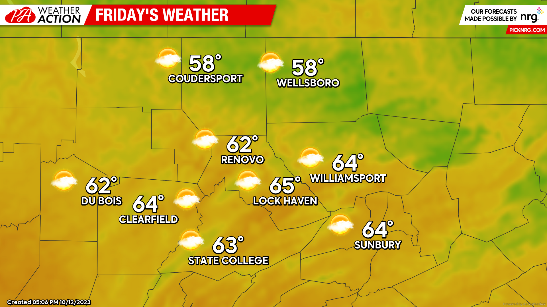
Friday
As a low pressure system starts to creep into the region, clouds will be taking over the bit of sunshine that we saw today and yesterday. Rain will not start until very early Saturday morning, but clouds will be present in preparation for the precipitation to come. Highs in the high 50s to mid 60s, lows in the low to mid 40s.
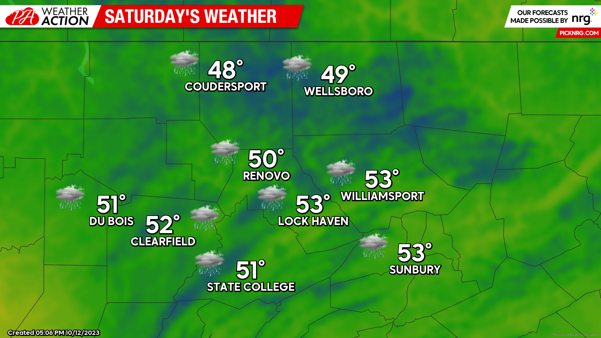
Saturday
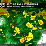
Unfortunate news for those of you attending the Penn State Homecoming football game Saturday, it’s looking like another football washout, maybe even worse than the Whiteout game. The low pressure system dominates the region, bringing steady rainfall, heavy at times, and cooler than average temperatures to the region. Highs in the upper 40s to low 50s, lows in the upper 30s to low 40s.
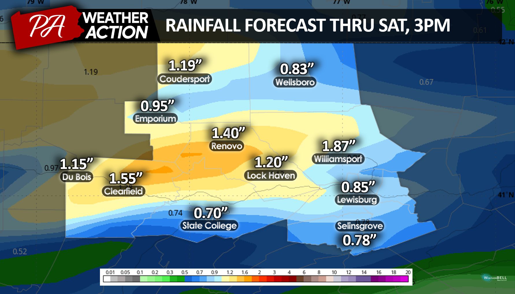
Taking a look at the rainfall forecast through Saturday at 3pm, right before kickoff, much of the precipitation totals will be near or exceed much over 1 inch of rain, all from Saturday. Make sure to wear your rain jackets and boots!
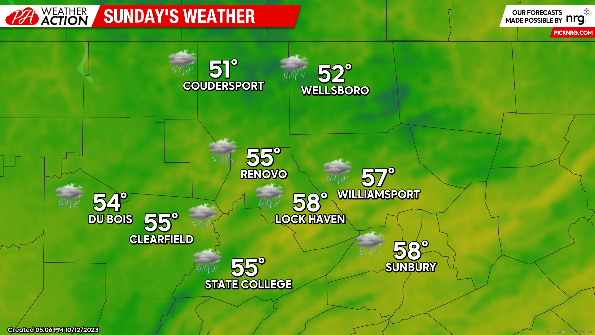
Sunday
The low pressure system lingers on through the entire weekend, but Sunday will bring lighter rainfall and higher temperatures. Highs in the low to upper 50s, lows in the low to mid 40s.
This weekend isn’t looking any better than the past few weekends we’ve had here. Fall is definitely not coming in with a pleasant welcome! Have a great weekend, and stay warm and dry!
Sara Stierly

You must be logged in to post a comment.