
Good Evening Everyone! After some interesting winter weather last week, conditions will turn quieter and milder this week. High pressure looks to dominate the first half of the week, with generally clear skies through the first half of the week. A weak storm system will move through late week with another shot of precip, in the form of rain this time. Continue reading for more details!
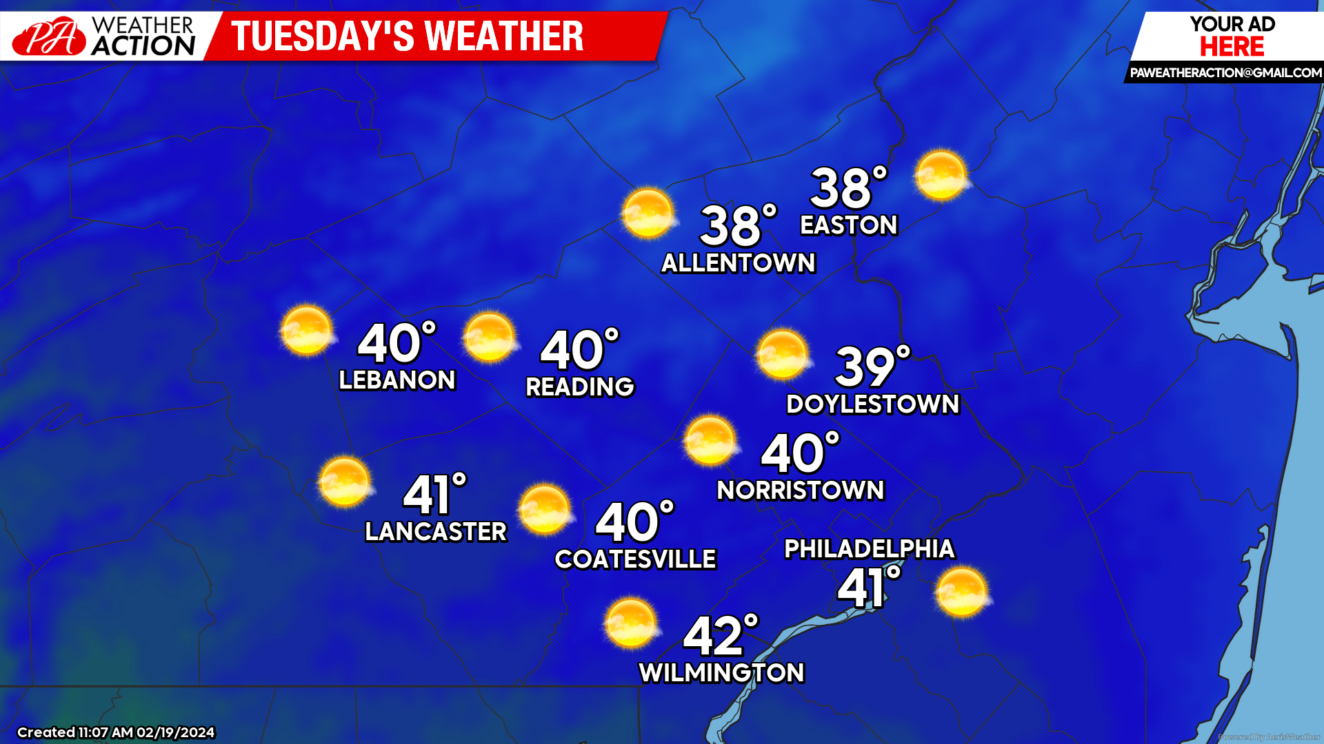
Tuesday
Expect chilly conditions to start your Tuesday morning with temperatures in the upper 10s – low 20s. Skies will remain mostly clear throughout the day with temperatures climbing into the upper 30s to low 40s by the afternoon. Winds will be light out of the SE at 5-10mph. Temperatures will fall back into the 30s by evening.
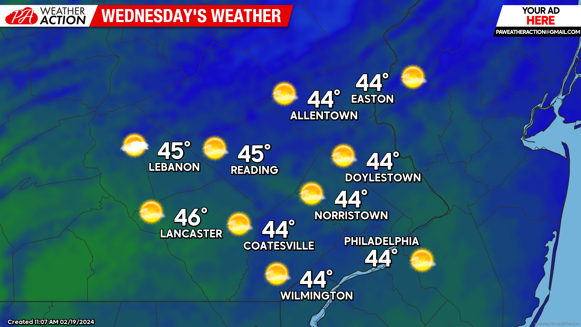
Wednesday
Wednesday will be another pleasant day, with temperatures climbing a bit higher than Tuesday. Temperatures start in the low – mid-20s under clear skies. Mostly sunny skies will continue into the afternoon, with highs reaching the mid-40s. Winds will again be out of the SE at 5-10mph
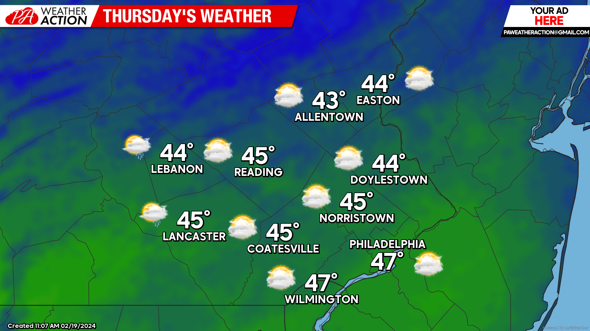
Thursday
Thursday will start as another pleasant day across the region. Temperatures will be in the mid-upper 20s under partly to mostly sunny skies Thursday morning. Clouds will thicken throughout the morning, turning overcast by lunchtime as our system approaches. Temperatures will rise into the mid-upper 40s by the afternoon.
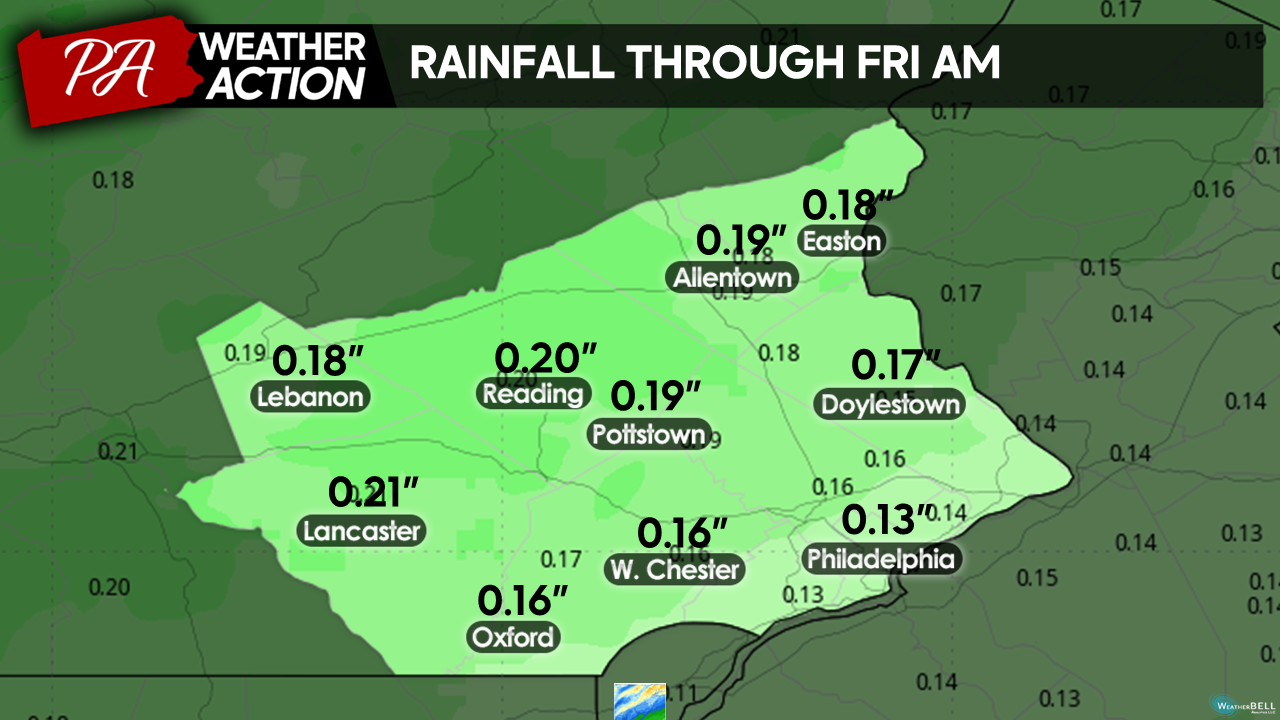
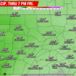
Temperatures will hold steady into the evening. Light rain showers will move in from west to east just after sunset Thursday. Light rain will continue through the overnight, clearing out by early Friday morning.
Overall, very light precip totals are expected with less than a quarter inch expected across the region.
Looking ahead: A brief shot of cold weather looks to move in this weekend, however no chance of consequential snow is expected. Temperatures will turn quite mild as we head into next week, as a ridge develops across the east coast.

You must be logged in to post a comment.