
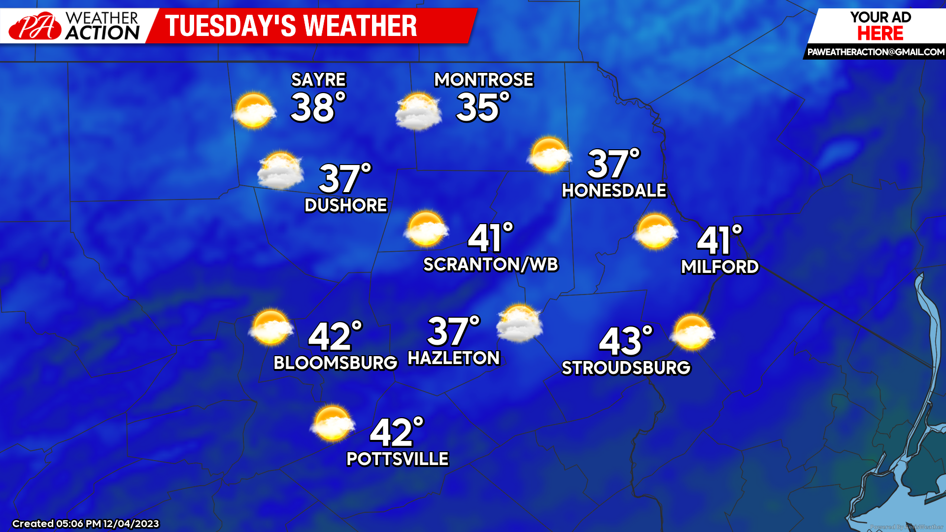
TUESDAY
Tuesday will feature variable clouds and seasonal temperatures.
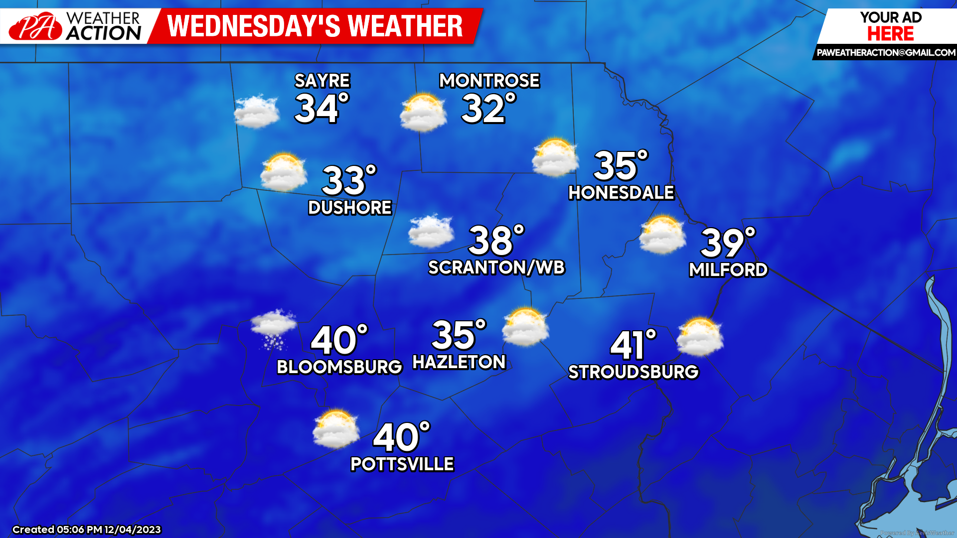
WEDNESDAY
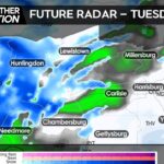
There could be some snow showers late Tuesday night into early Wednesday as a disturbance passes to our south that could coat the ground in the western-most counties of our region. That disturbance will circulate cooler air into our area during the day Wednesday, with temperatures falling during the afternoon.
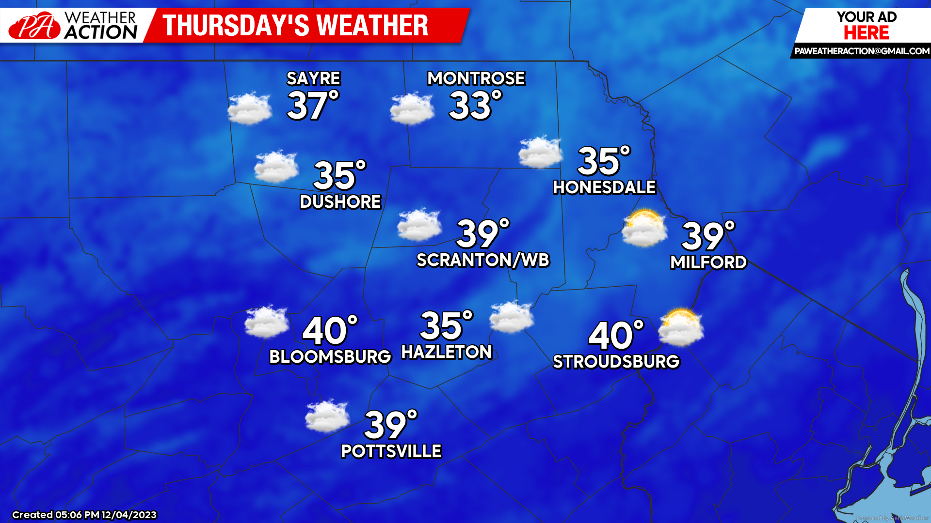
THURSDAY
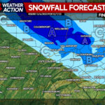
Another disturbance will drop southeastward from the Great Lakes to provide clouds and a few snow showers to our area which could whiten the ground of the higher elevations in the northern counties.
BEYOND THURSDAY:
Friday and Saturday will be warmer than normal and dry. A strong storm system will develop over Texas Friday night and race northeastward through the Great Lakes on Sunday. This will pull a cold front though our area on Sunday, accompanied by rain windy conditions, possibly ending as a mix behind the cold front Sunday evening.
You must be logged in to post a comment.