
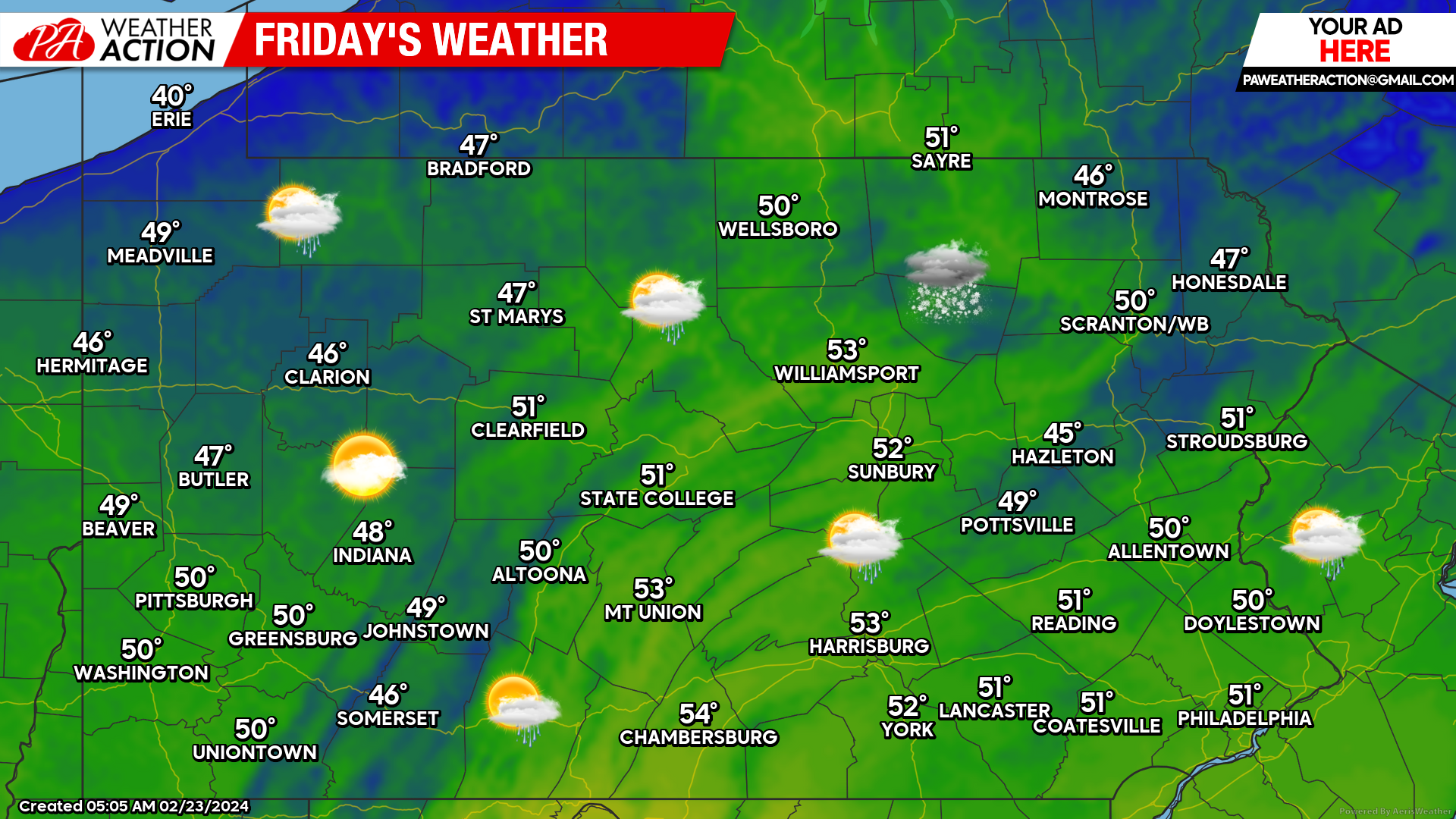
After a very rainy Thursday in parts of the state, we are drying things out today with partly cloudy skies and temperatures approaching or exceeding 50 degrees across the state. Today will be the nicest day of the weekend before things turn blustery just temporarily.
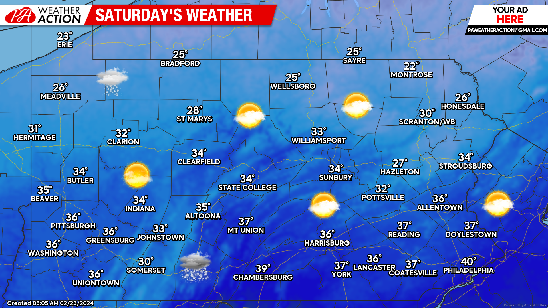
Saturday will probably be one of the last winter-like days for quite a while. And we mean like…possibly a long while. Highs will only max out in the mid 20s in the mountains to upper 30s in the Southern PA valleys, with a few flurries around. It won’t be too windy, but gusts of 10-20mph are likely in the eastern half of the state Saturday morning.
Sunday will be a few degrees warmer than Saturday with mostly sunny skies, but still brisk. You can view regional forecast maps for Sunday and Monday here.
As mentioned, early next week we will begin a major warm up with highs in the 50s and 60s becoming common. However many days next week looks rainy, so don’t expect to be able to really enjoy the mild conditions. But give it just two and a half weeks and the sun will be setting past 7pm and perhaps those mild conditions will be accompanied by sunshine!
Thanks for reading and have a great weekend!


You must be logged in to post a comment.