
Summary
Showers and thunderstorms are expected today statewide, followed by a clear, seasonal weekend.
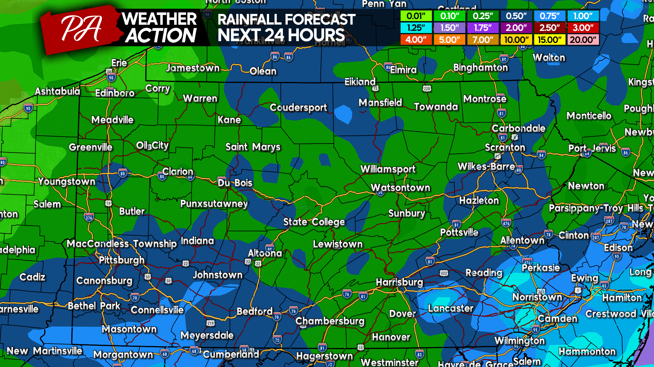
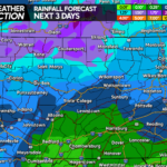
Friday Rainfall Forecast Map
Generally 0.25 – 0.50″ of rain for most areas, with much of Southeast PA expected to see between .50 – 1.00″. However, it’ll be dependent on thunderstorms so it won’t be a consistent total across the entire area.
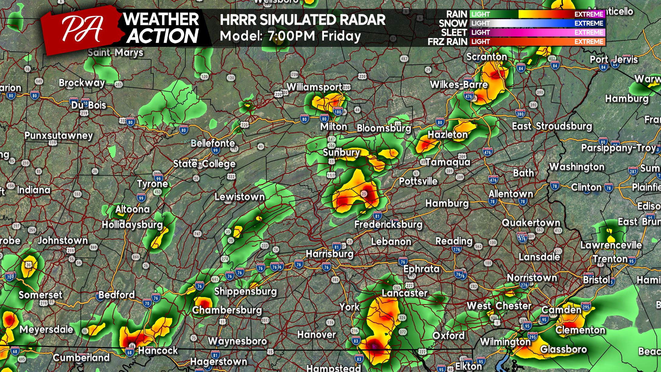
Friday Future Radar (HRRR Model)
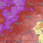
Final Call Friday Severe Thunderstorm Threat Forecast
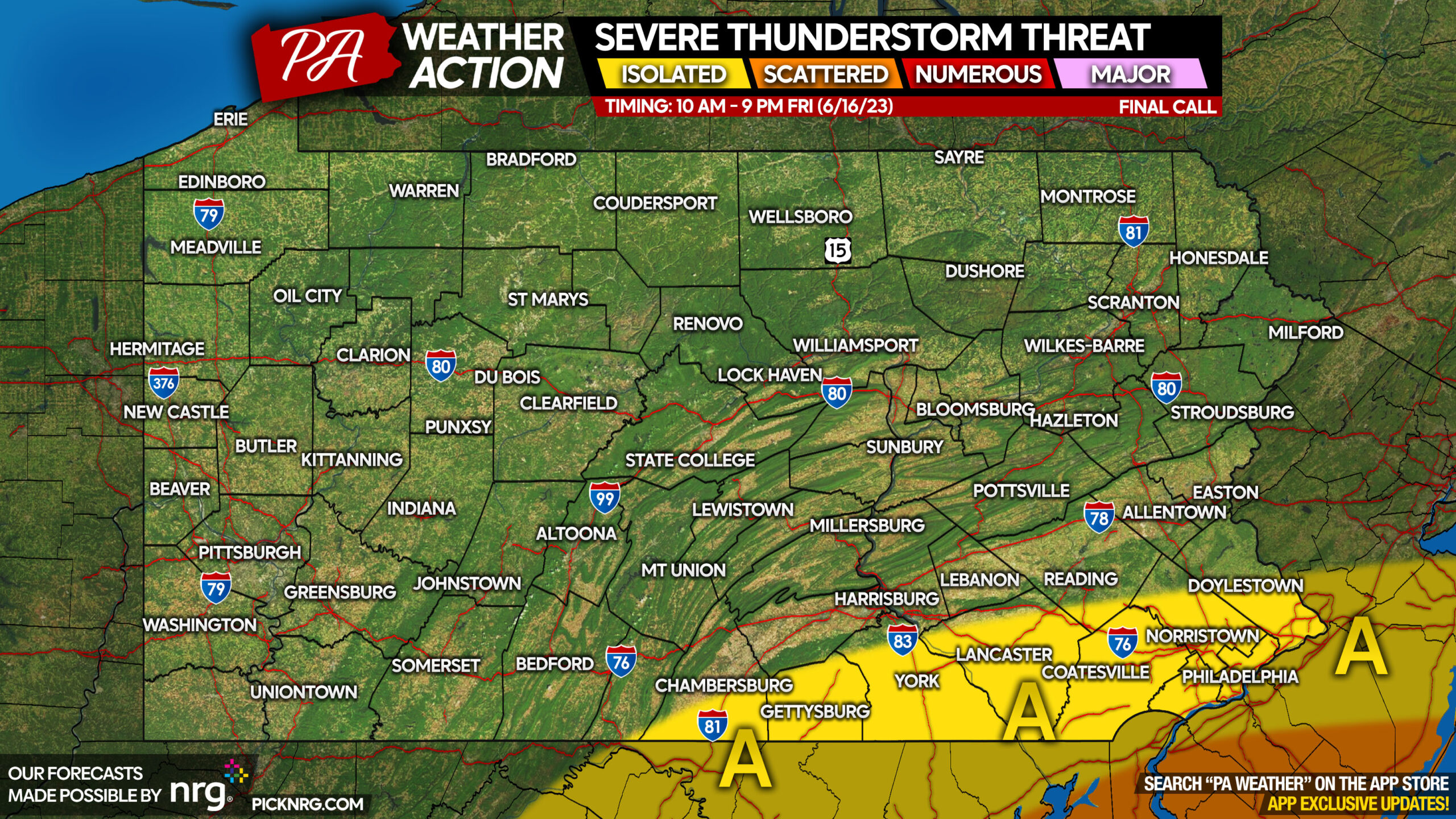
Area A: Isolated strong to severe thunderstorms containing wind gusts of 40-60 MPH and hail possible. Most storms will ordinary thunderstorms that don’t pose the previously stated threats.
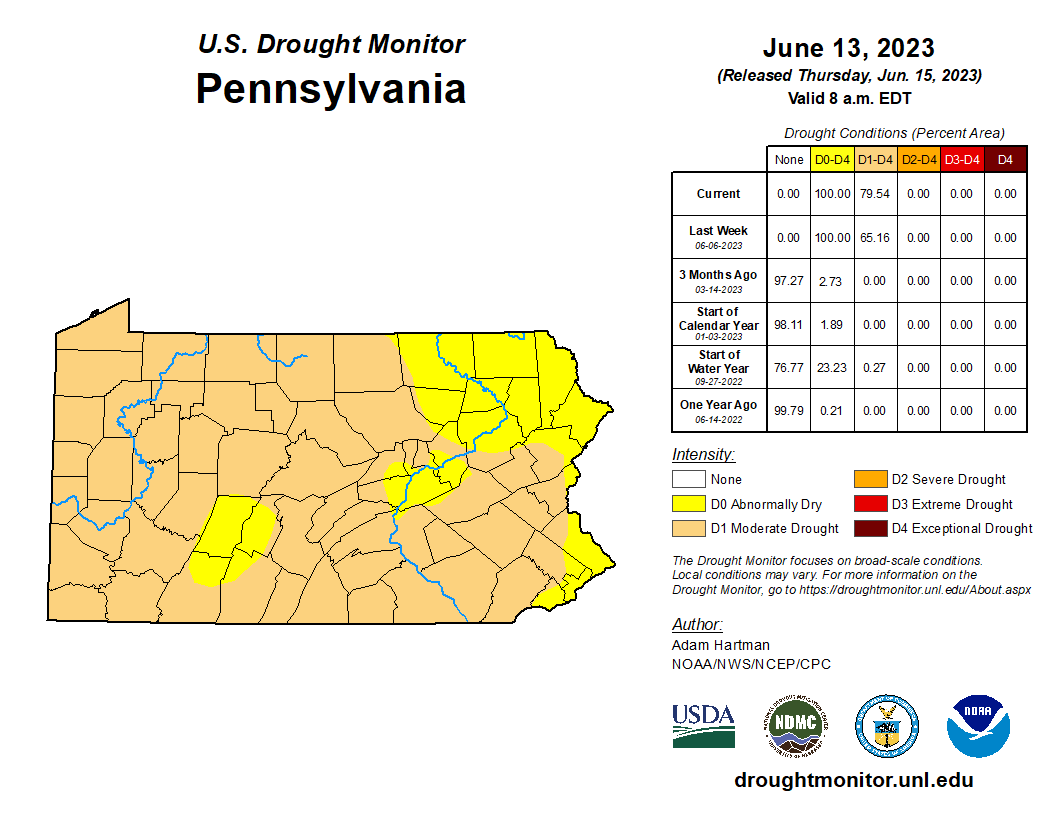
From here, it looks like another nice weekend! Unfortunately, models keep flipping back and forth between whether we will see much rain in the next few weeks and currently they’re on the dry side. All of Pennsylvania is officially under a Drought Watch as a Moderate Drought has taken grip of much of the state as of Thursday’s Drought Monitor Update below.


You must be logged in to post a comment.