

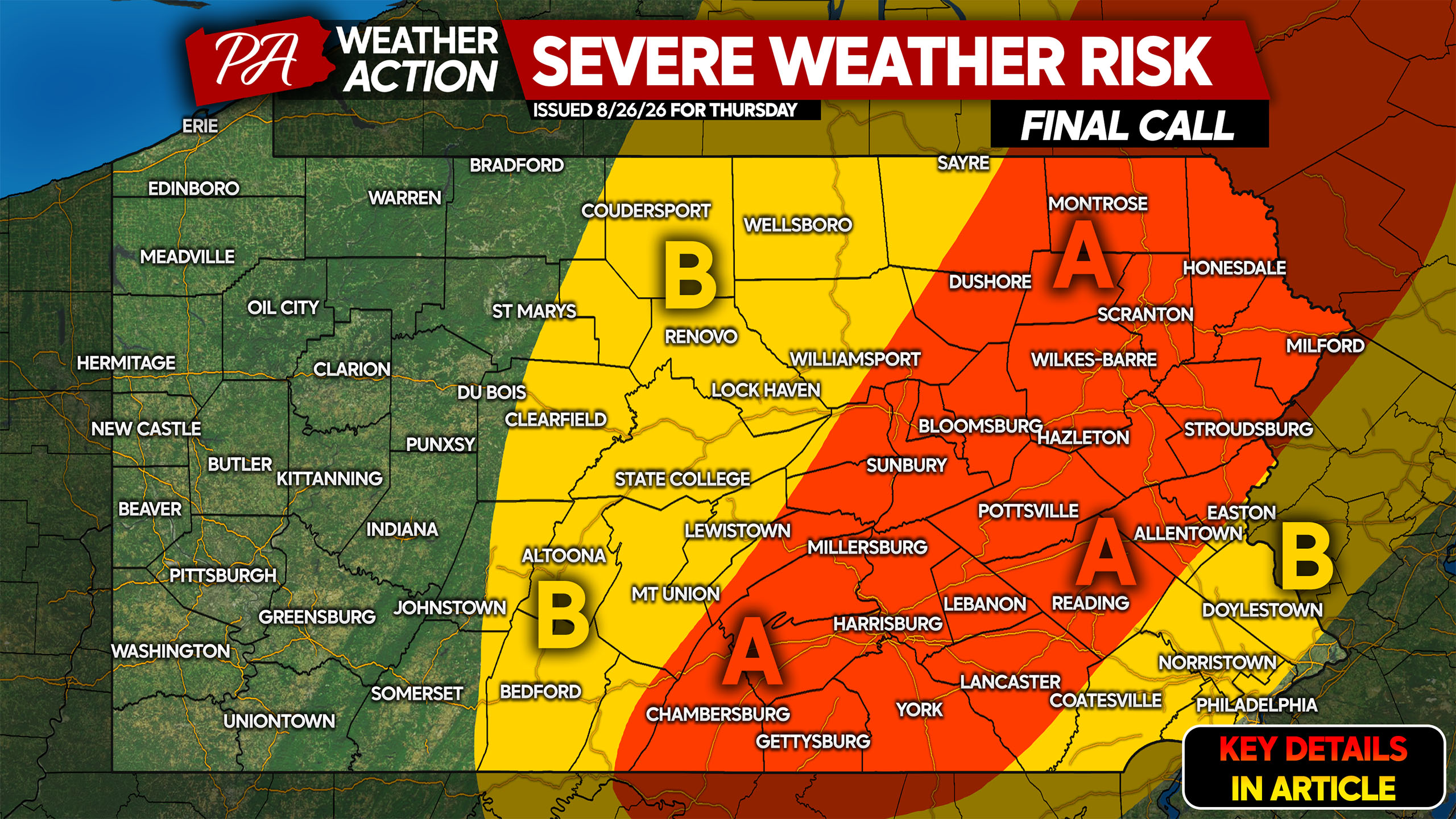
An active severe weather season that has produced the third highest tornado count in PA in recorded history doesn’t want to go away. This despite late August usually marking a significant downtrend in severe weather. Another round of severe weather is likely Thursday in the eastern half of the state.
Thursday’s threat will be all-hazards, with damaging winds being the main concern. Very localized hail in the strongest cells is possible along with a tornado or two amidst decent wind shear. Storm timing will be late Thursday afternoon through just after sunset.
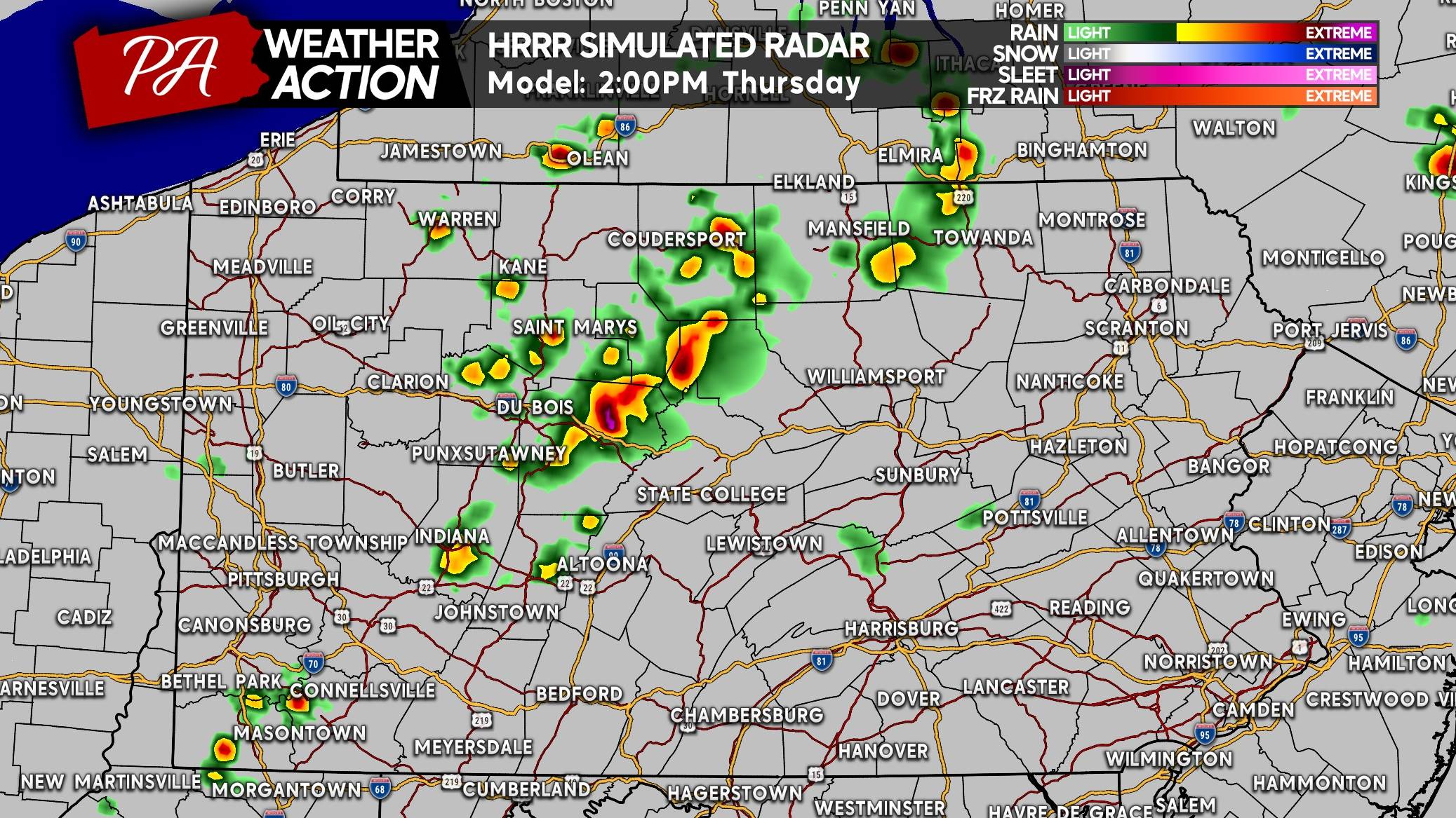
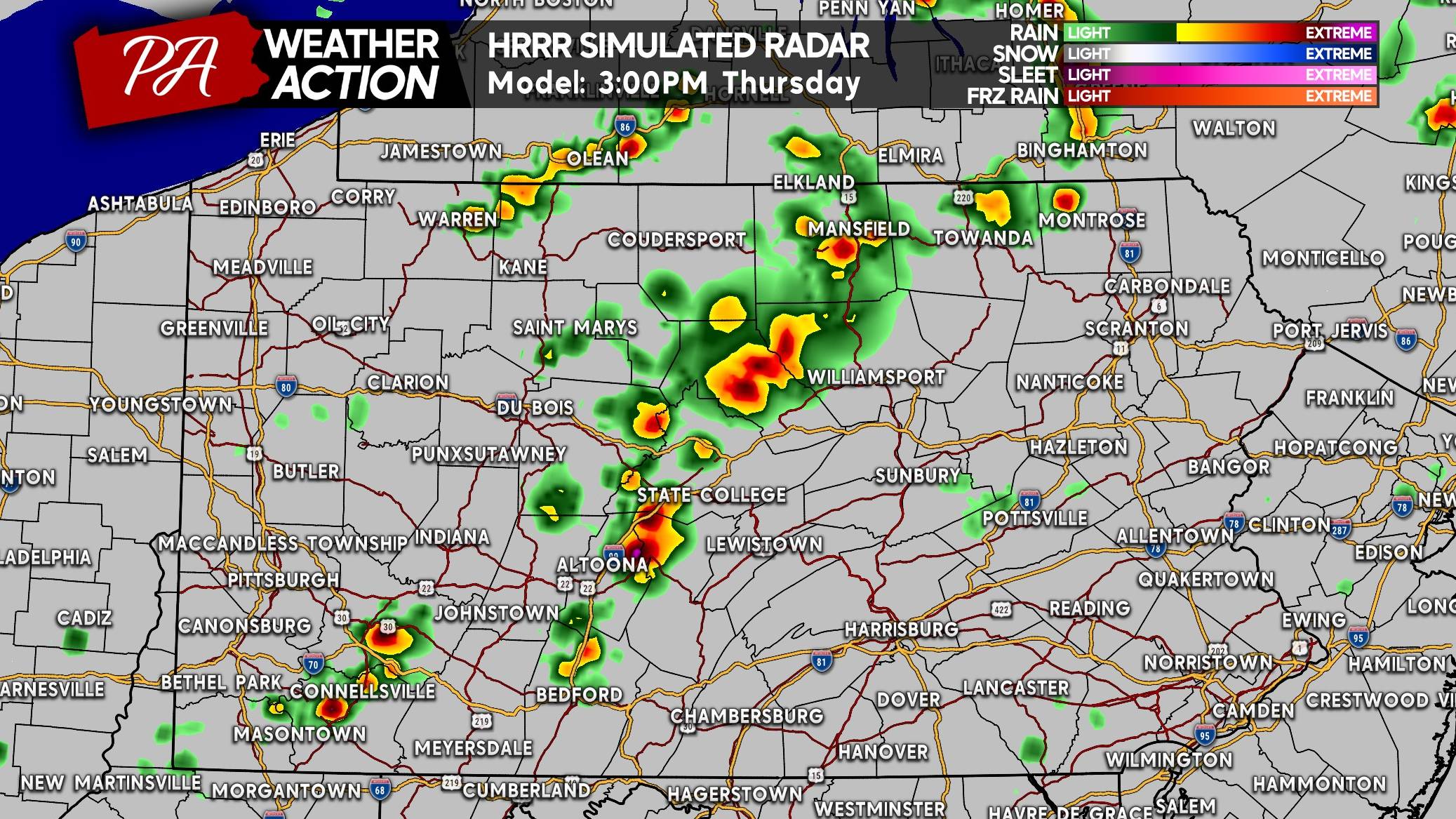
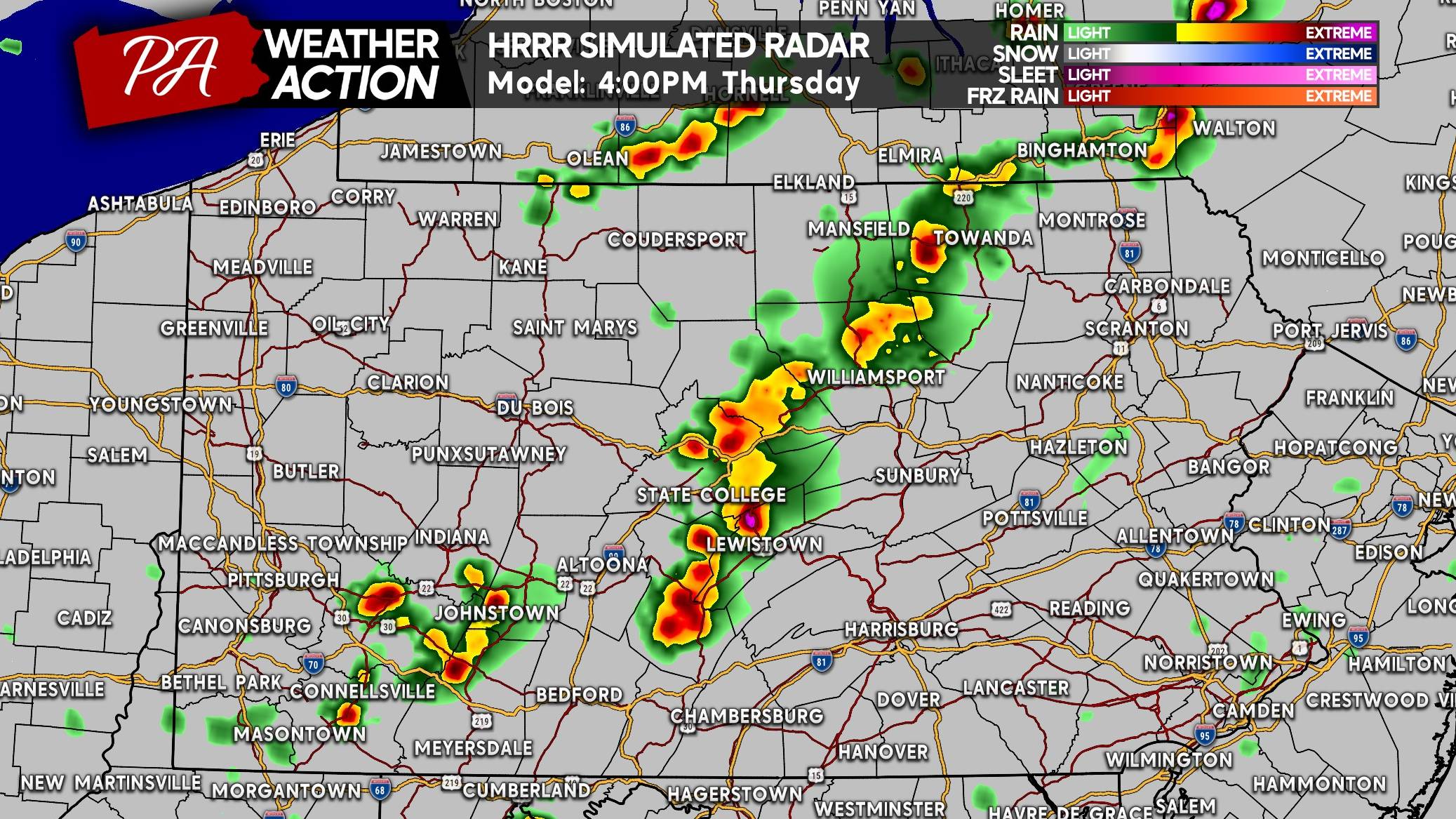
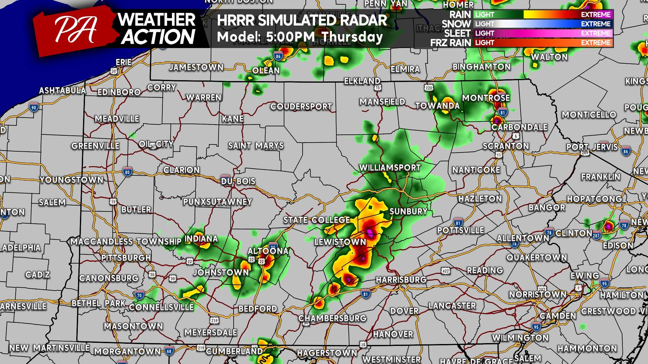
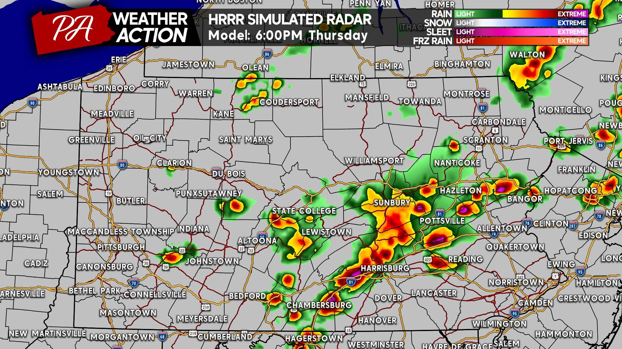
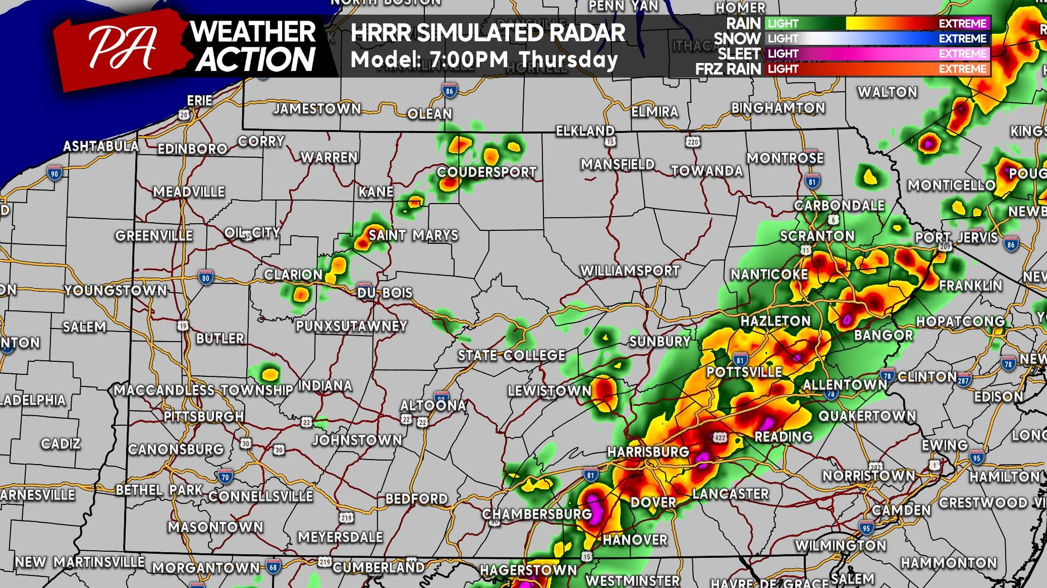
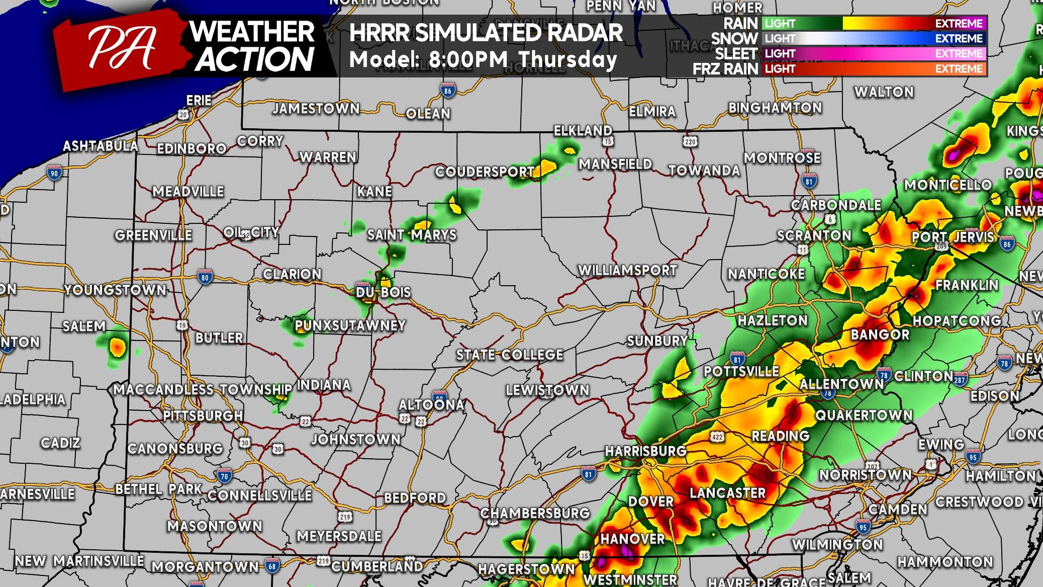
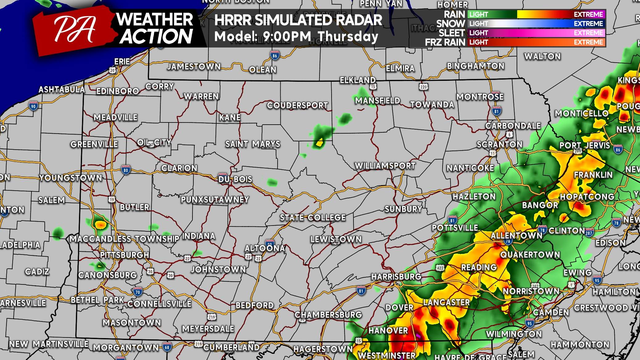
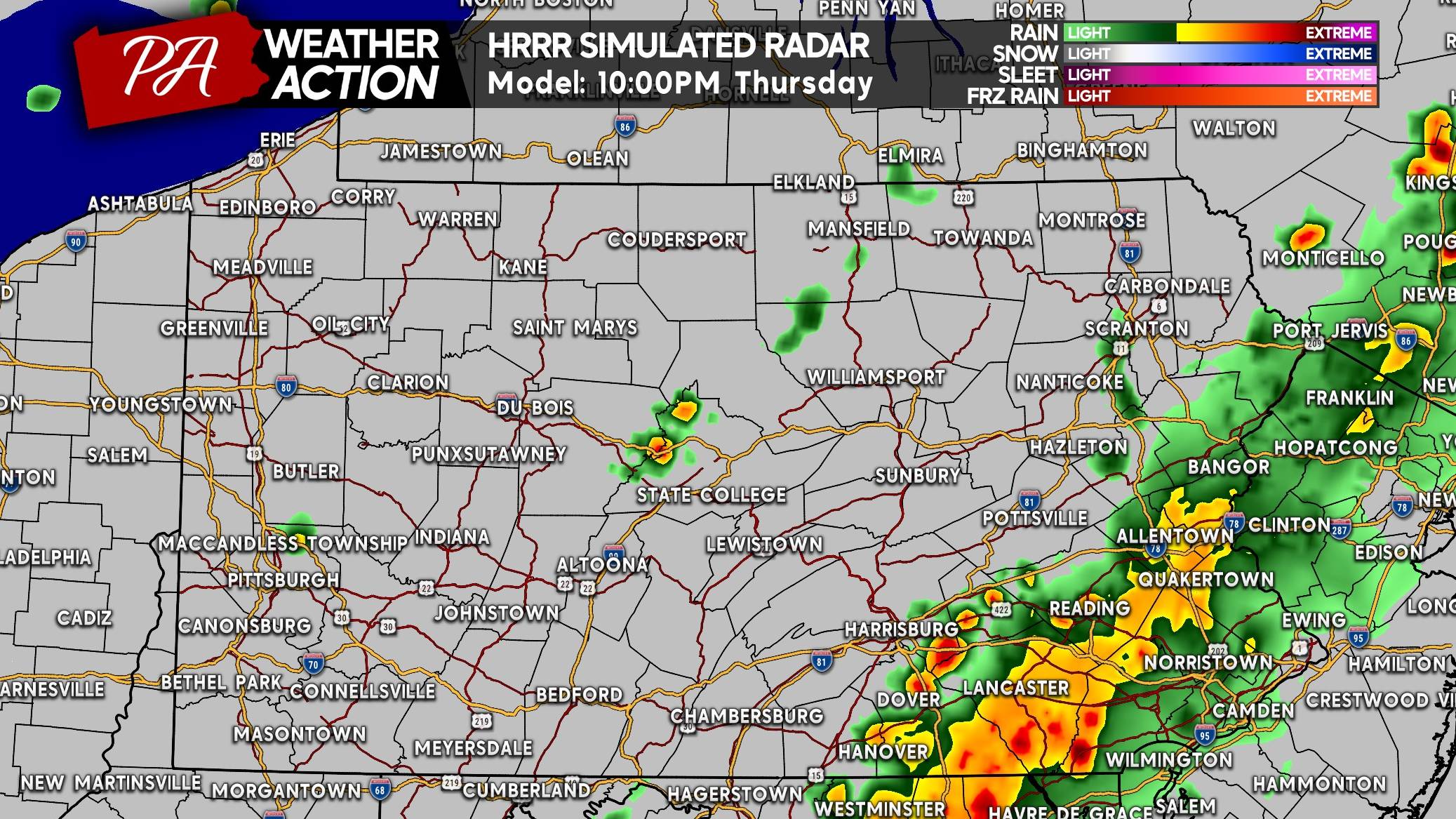
Some guidance is suggesting clusters of storms and heavy rain in Southeast PA around lunchtime, while others keep that activity in NJ or just don’t have it at all. Below is future radar timing from the HRRR model for Thursday’s storms.
FUTURE RADAR TIMING (HRRR MODEL)
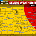
THURSDAY’S SEVERE THUNDERSTORM THREAT FORECAST
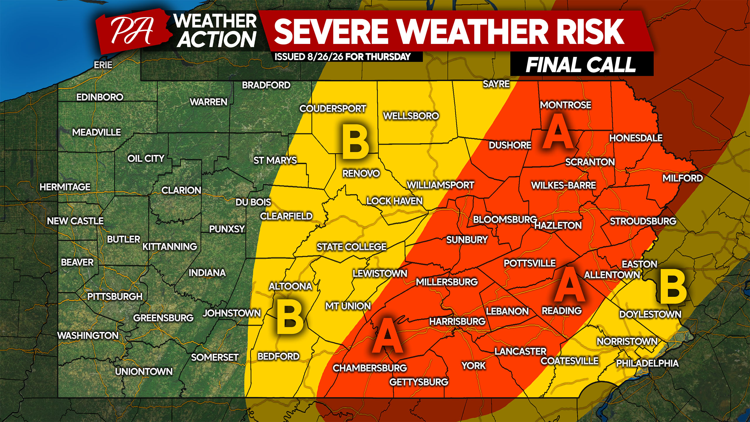
Area A: Scattered severe thunderstorms are likely, with damaging winds up to 70mph the main concern. Very isolated hail possible, and a tornado cannot be ruled out.
Area B: Isolated strong to severe thunderstorms possible with damaging winds up to 60mph the primary risk.
Don’t forget to share this forecast with family and friends who may have outdoor plans on Thursday!

You must be logged in to post a comment.