

An unrelenting severe weather season refuses to give up despite the calendar flipping into September, a time when climatology suggests severe storms should be a rarity. Tuesday will only be the start, as severe weather is also likely across much of the state Wednesday, with additional threats potentially continuing into Thursday and Friday.
It’s going to be a busy week, and we’re going to take it one day at a time rather than covering everything at once, so stay tuned for the latest forecasts.
Tuesday’s Severe Weather Threat
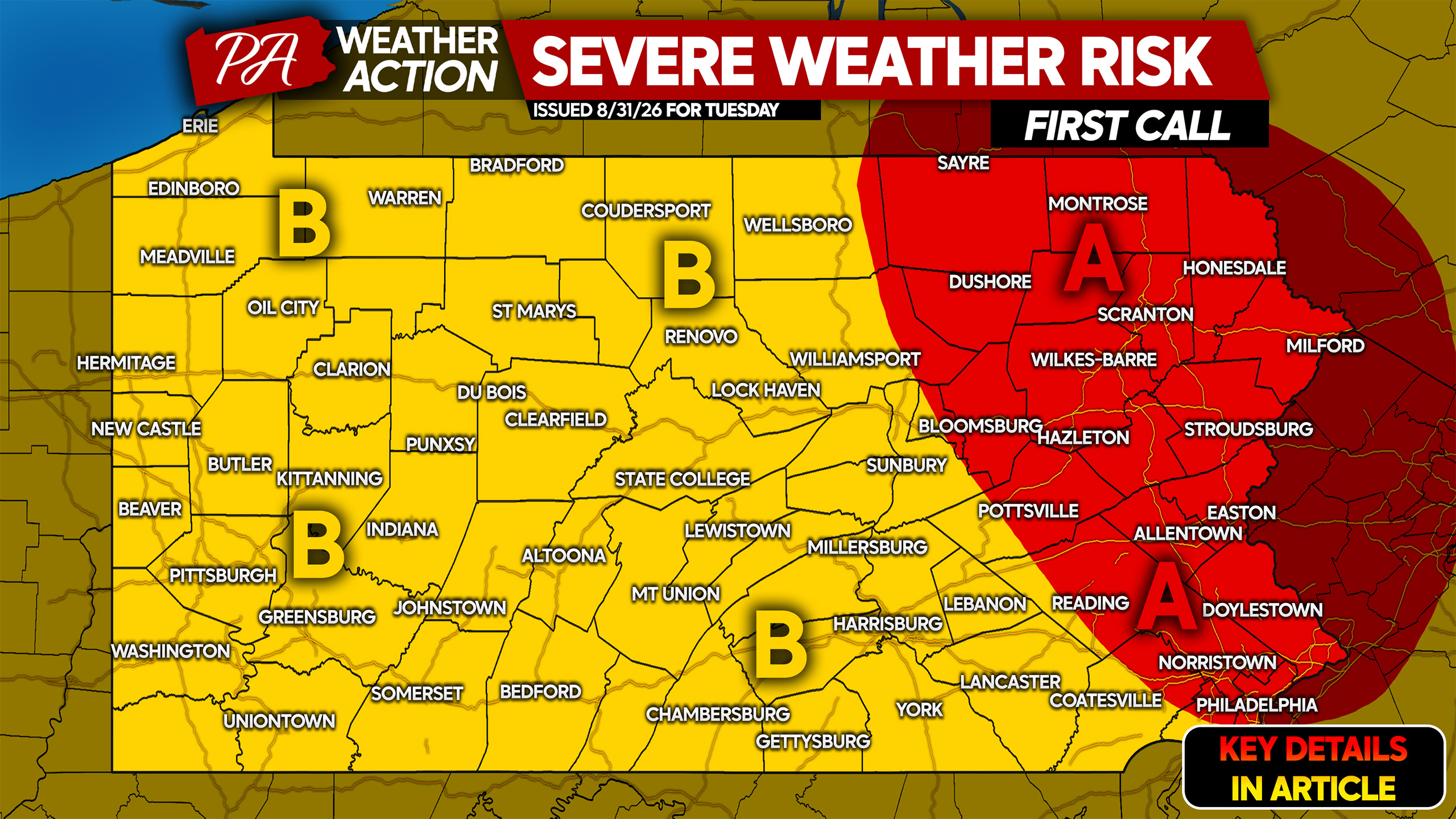
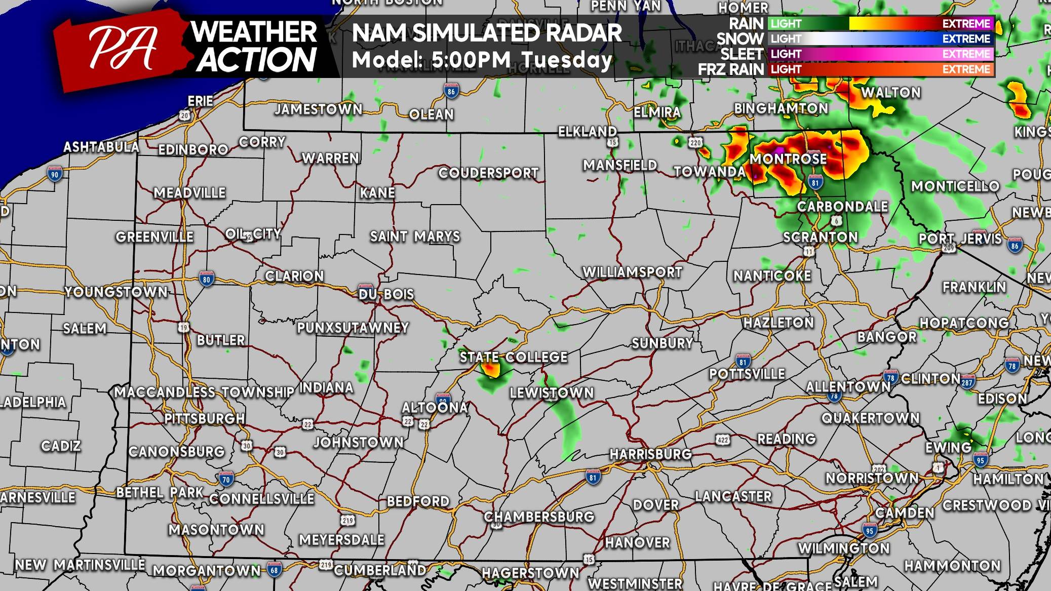
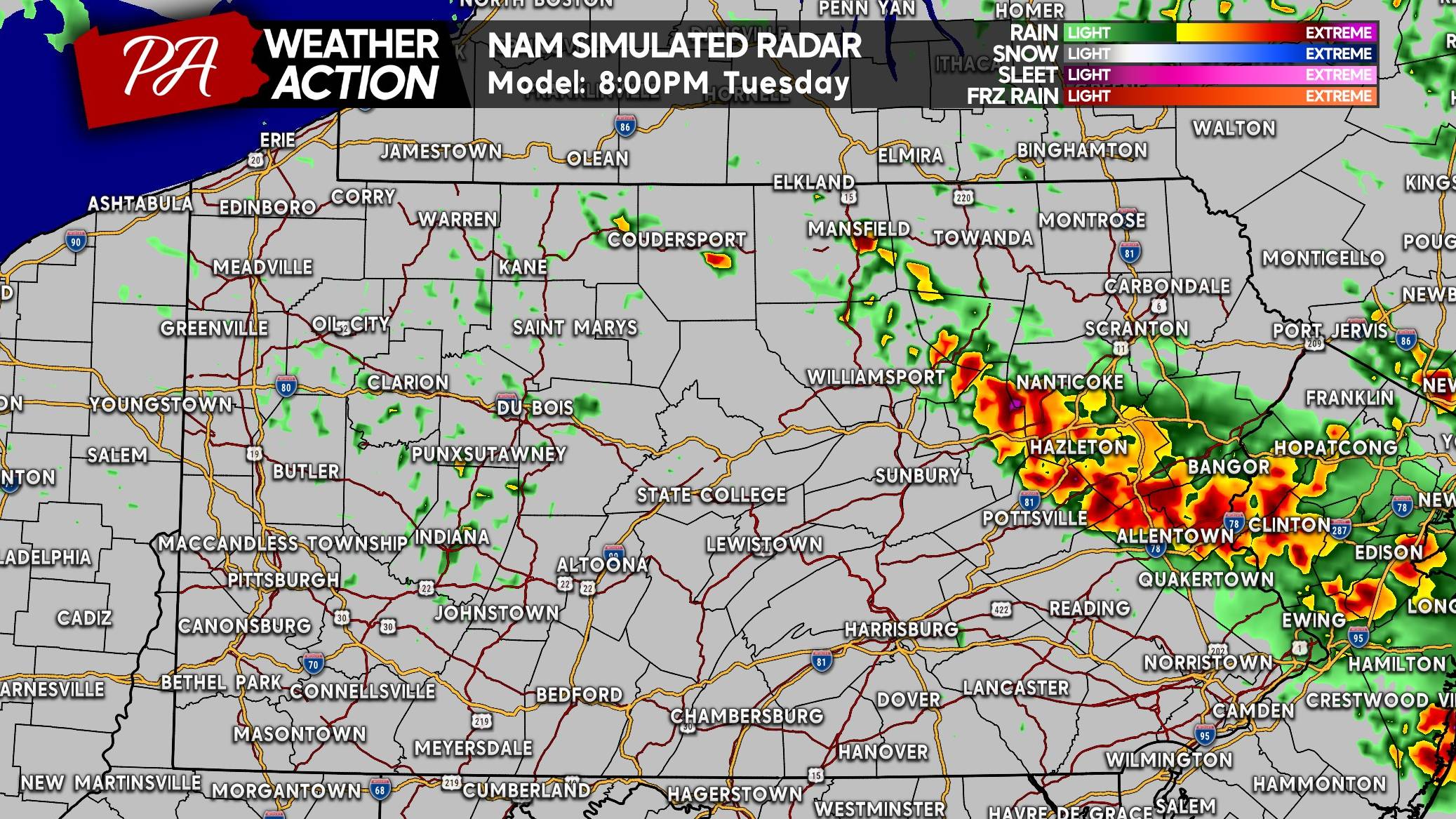
Tuesday’s severe weather threat will be focused primarily across Eastern PA, with damaging winds and hail the main concerns. A few supercells are expected to develop across Northeast PA late Tuesday afternoon before additional storms fire farther south.
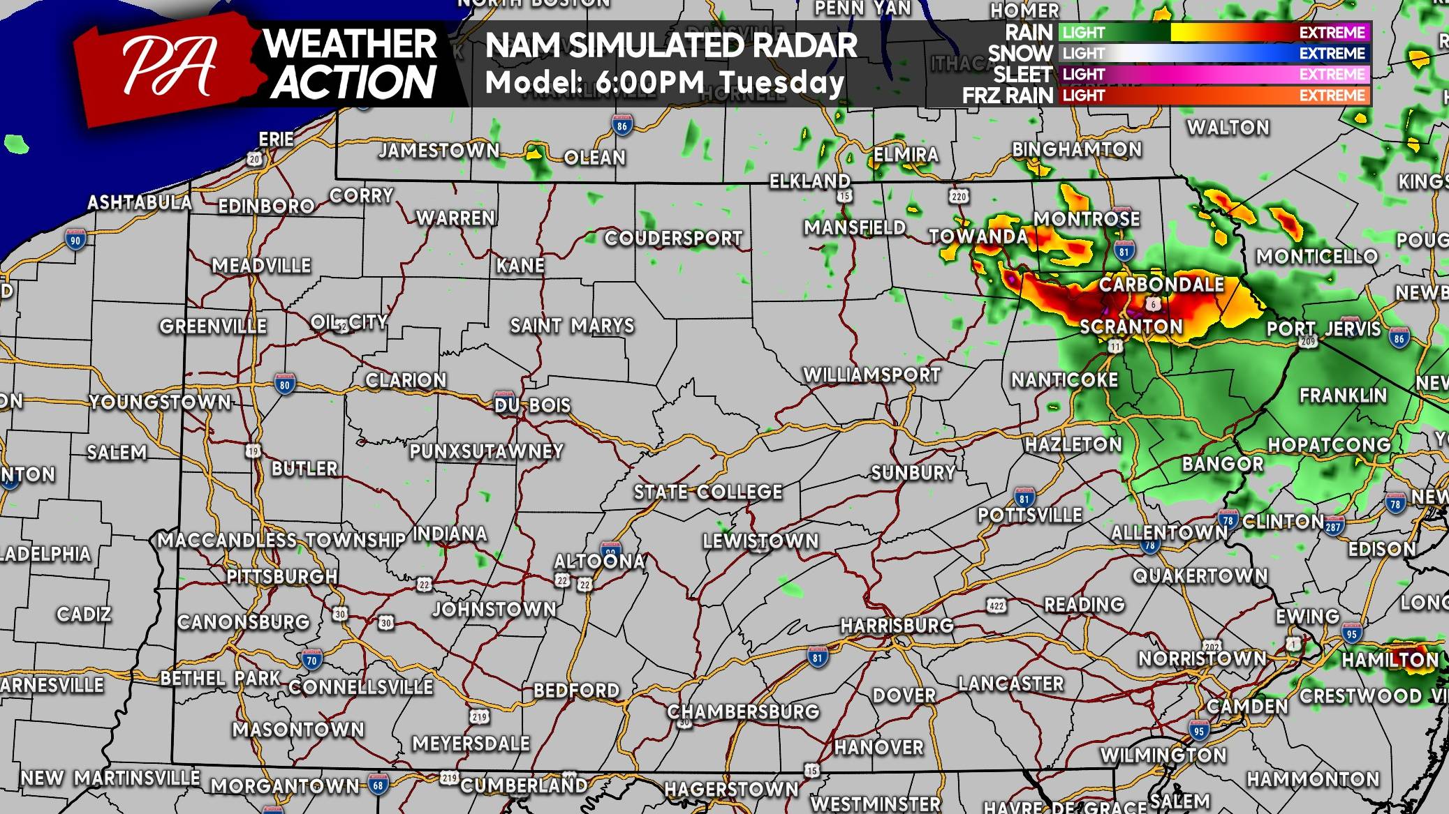
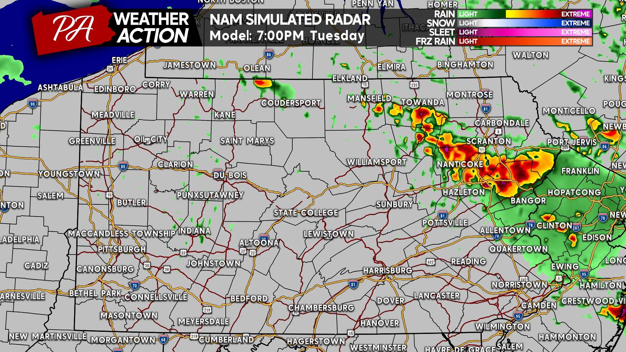
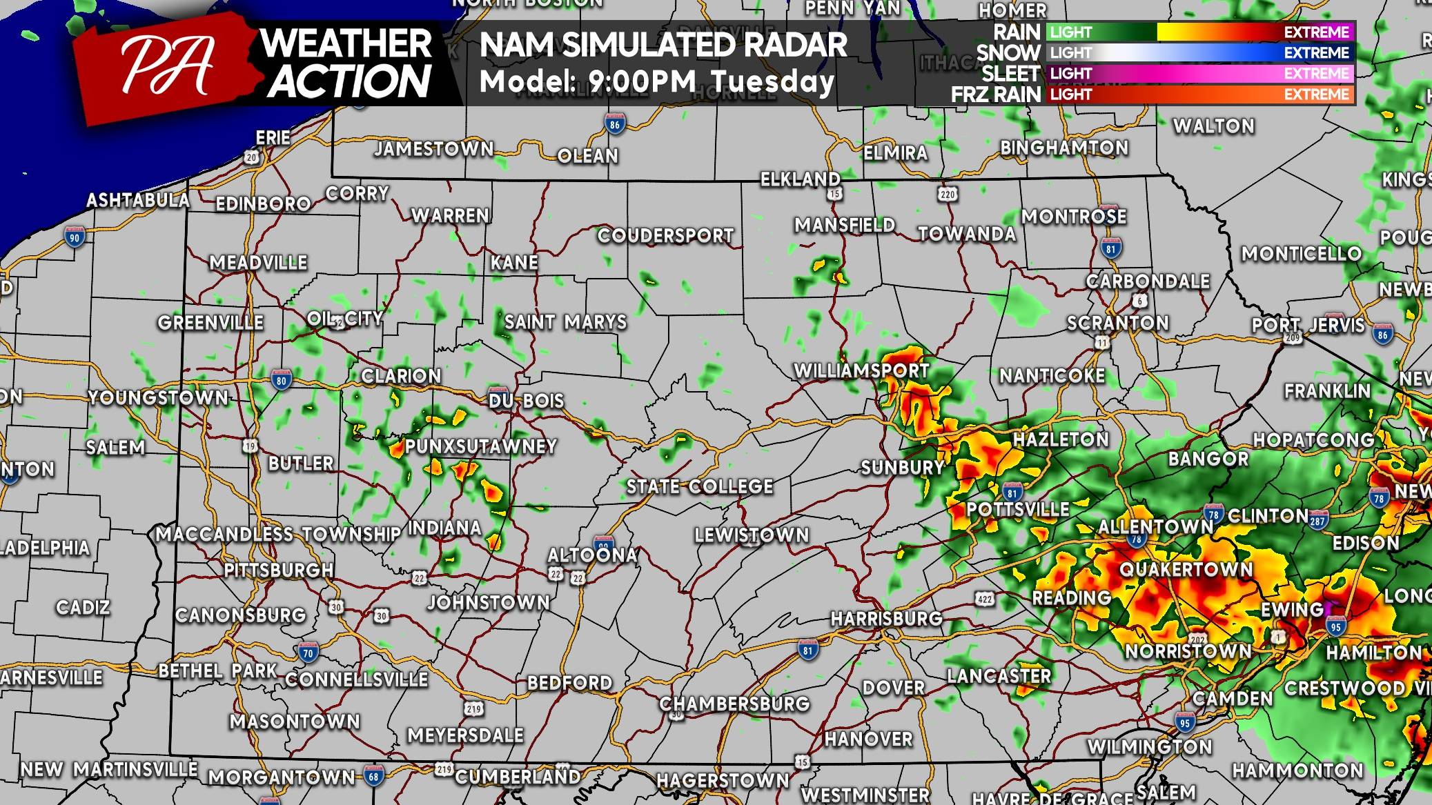
A more organized complex of strong to severe storms is then expected to push south through Eastern PA Tuesday evening. These storms could become increasingly capable of producing damaging wind gusts and hail as they move through the region.
Tuesday Night: Storms Push Farther South
The severe weather threat won’t necessarily end Tuesday evening.
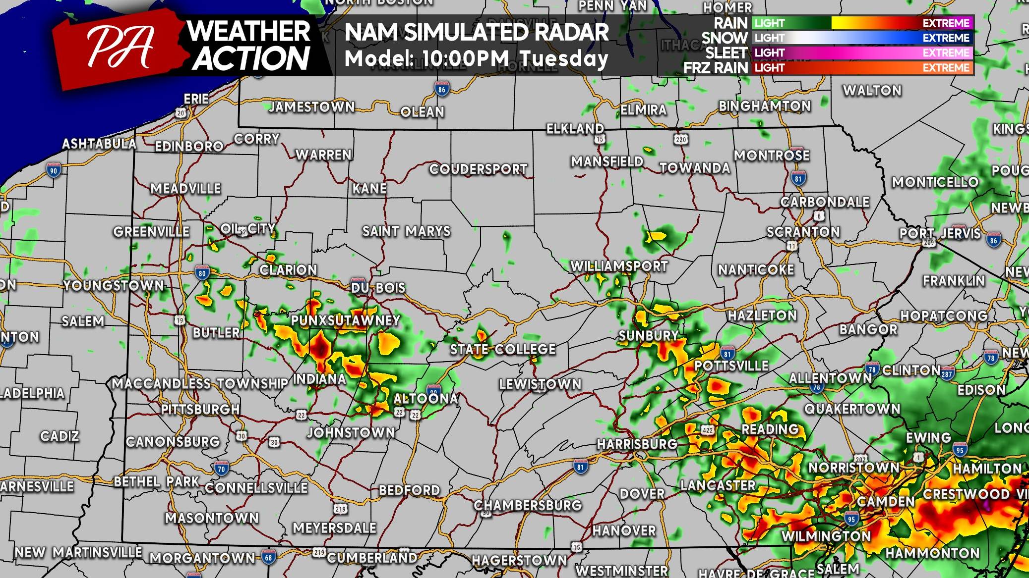
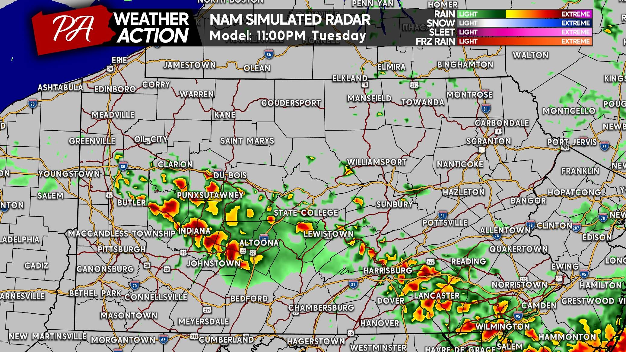
Additional thunderstorms may develop south of I-80 late Tuesday evening and push into much of Southern PA late Tuesday night and into the early morning hours Wednesday. Some of these nocturnal storms could produce damaging winds along with frequent lightning.
This means the greatest severe-weather concern will initially be focused across Eastern PA Tuesday afternoon and evening, but the threat could expand into additional parts of the state overnight as storms continue to develop and move south.
We’ll continue to monitor the exact evolution of the storms, as timing and coverage will ultimately determine which areas see the strongest thunderstorms.
Hi-Res NAM Future Radar for Tues 9/1 in PA
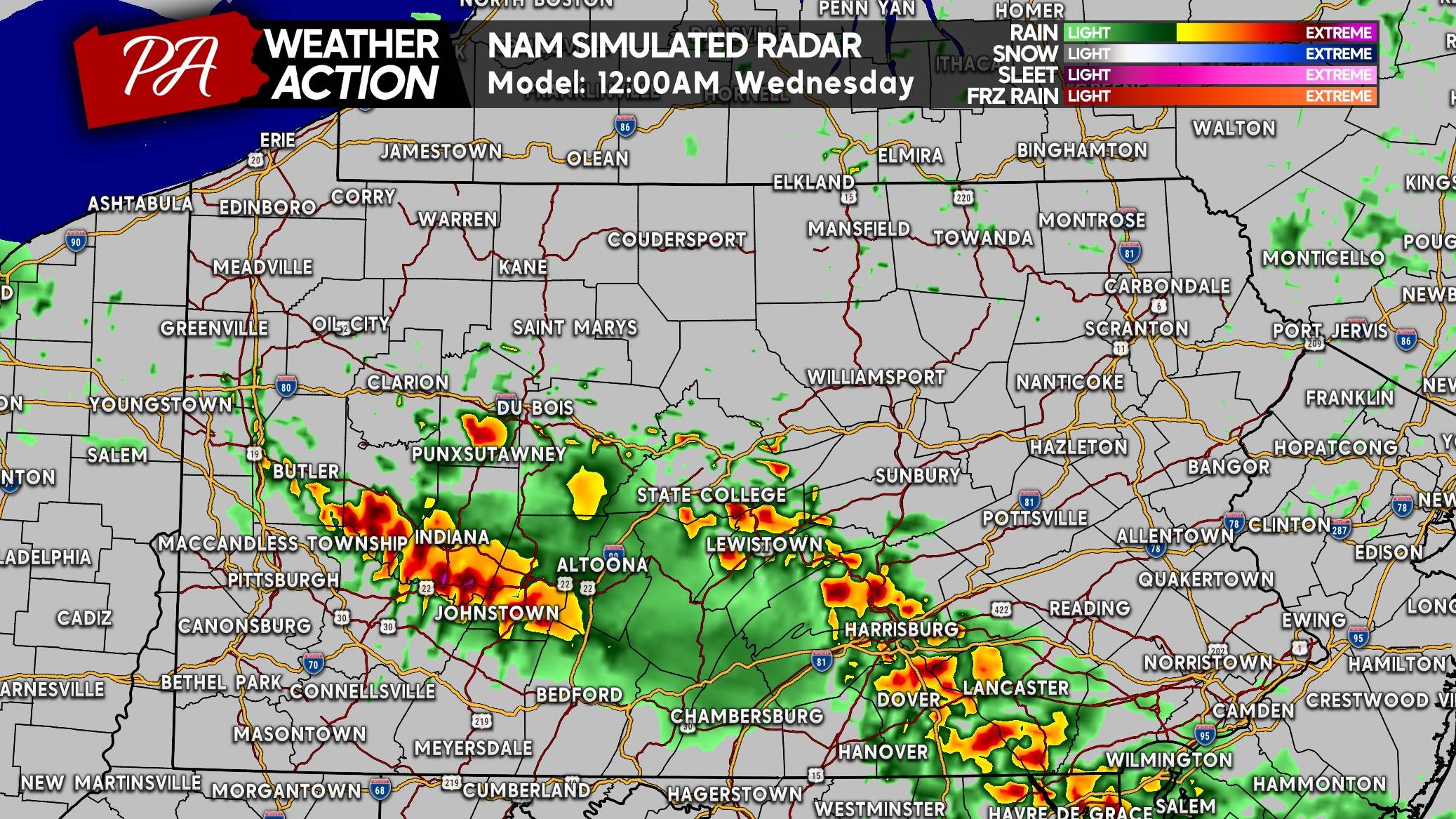
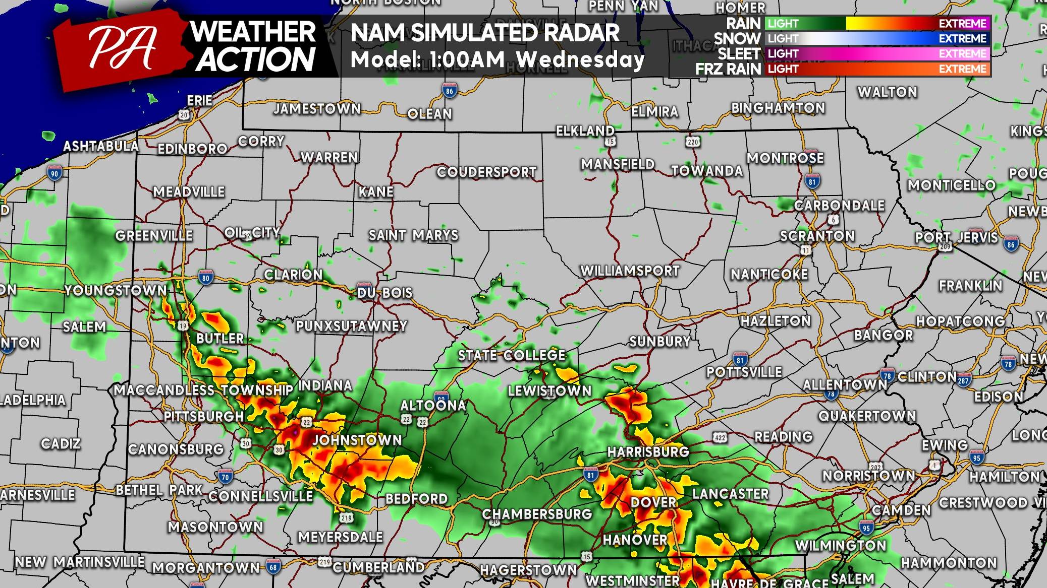
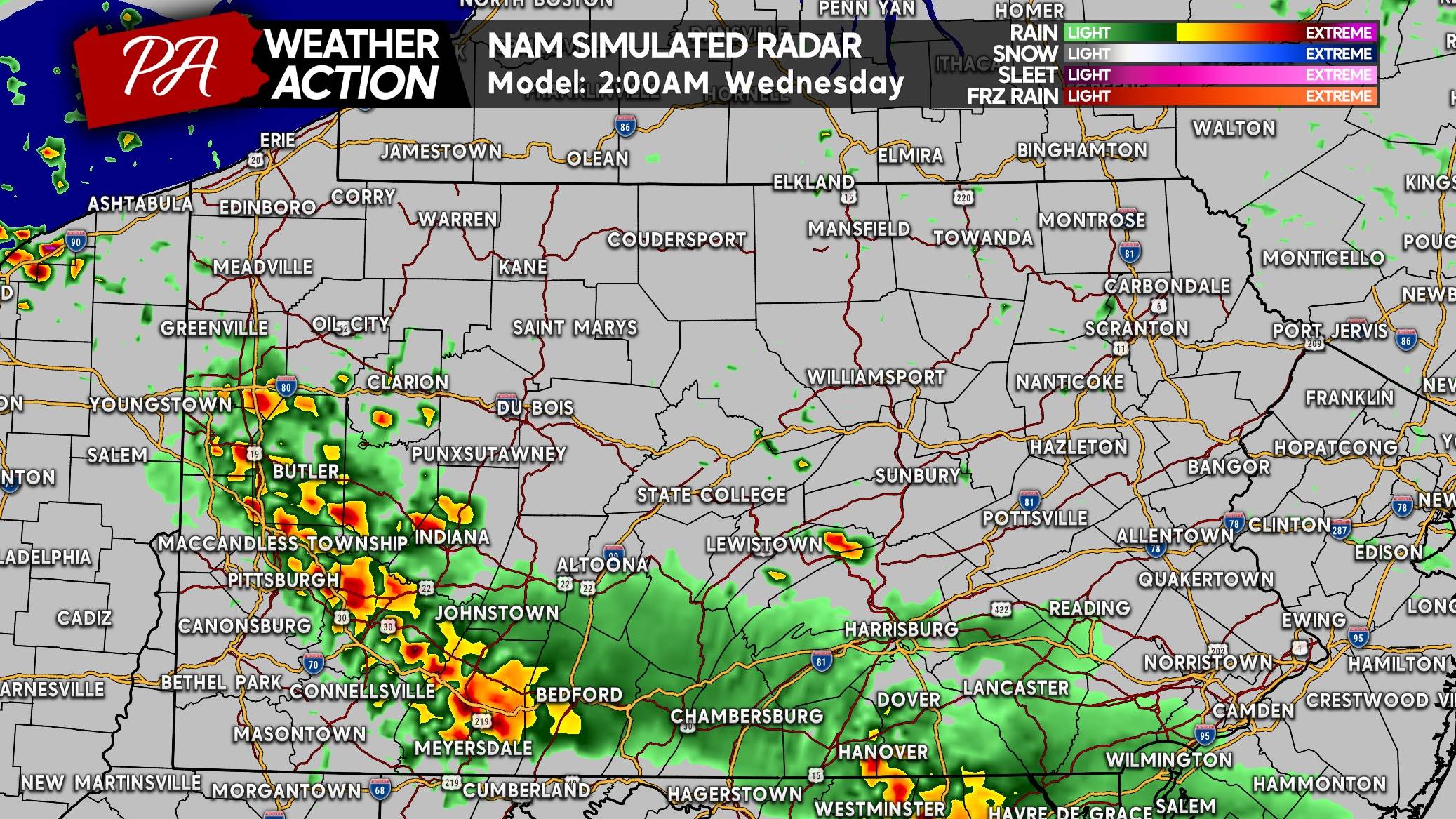
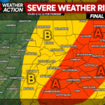
Tuesday’s Severe Thunderstorm Threat Forecast (9/1)
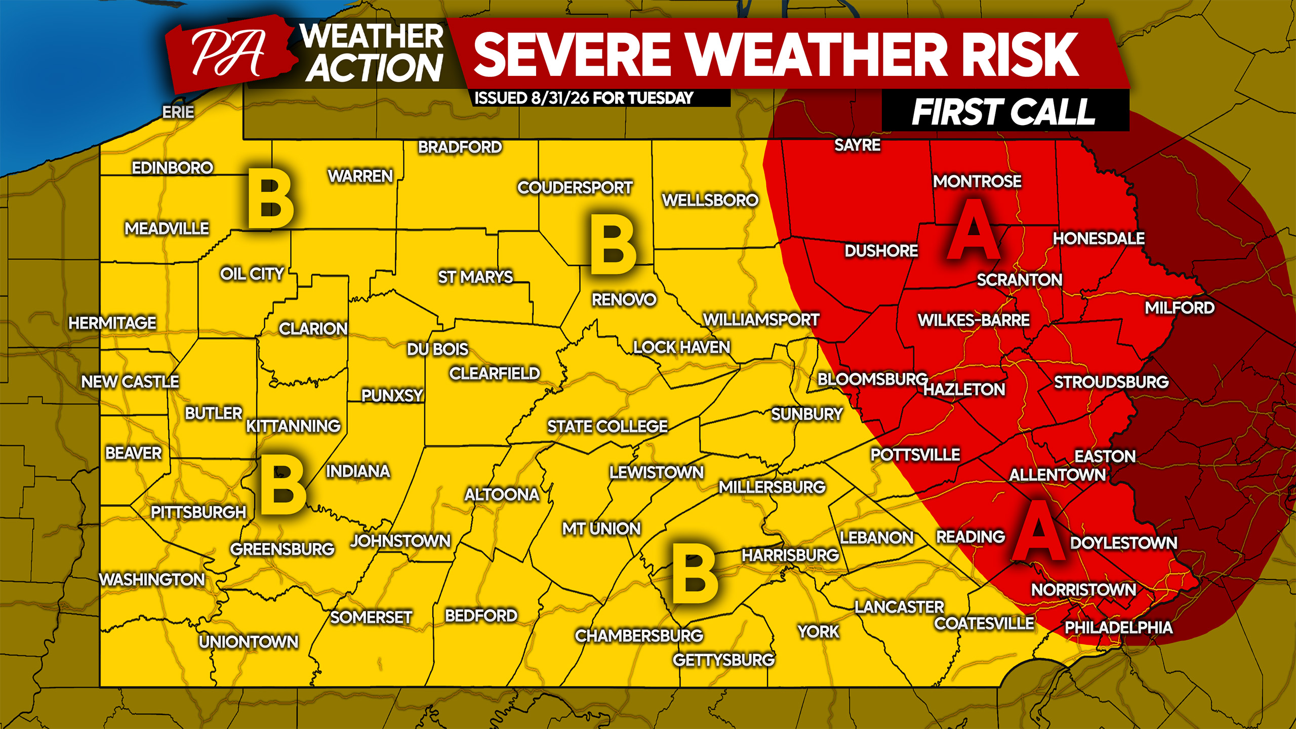
Area A: Higher Severe Weather Risk
Scattered severe thunderstorms are expected across Area A, with most of the area likely to experience at least strong thunderstorms. Damaging wind gusts up to 75 mph will be the primary concern, along with isolated large hail and perhaps a tornado.
Area B: Lower Severe Weather Risk
Isolated severe thunderstorms are possible across Area B, with much of this area potentially impacted by storms Tuesday night into Wednesday morning. Damaging wind gusts up to 65 mph are possible in the strongest storms, with isolated hail also a risk.
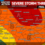
More Severe Weather Wednesday and Thursday
As mentioned, more severe weather is coming Wednesday and Thursday, and we’ll have additional updates on those threats shortly.
Be sure to share this forecast with friends and family who may have outdoor plans Tuesday, especially with most schools now back in session.

You must be logged in to post a comment.